In the vineyards, Canals & intimate rivers
36,80 Km
2 h 36 min
I cycle often
36,80 km cycling route from Fumel to Castelfranc
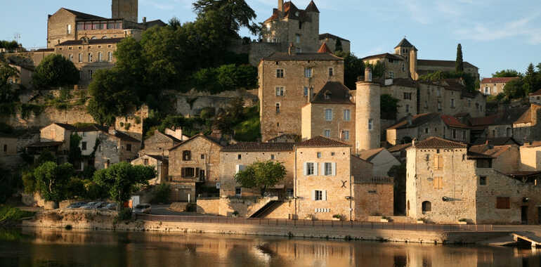
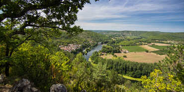
Once past the town of Fumel and the charming little port of Condat, this stage, leading you into the county of the Lot, alternates between quiet lanes and stretches of greenway. Smart vineyards dominate the countryside, set around elegant old wineries. The remarkable perched village of Puy-L’Évêque makes a stunning sight across the Lot as you follow the riverbank up to Castelfranc, the latter an historic, grid-planned bastide town at the confluence of Lot, Masse and Le Vert Rivers.
Elevation of the stage
86 m 110 m
Waytypes of the stage
Cycle path: 8,96 km By road: 27,84 km
Surface of the stage
Inconnu: 36,80 km
Cycle route
You mainly cycle along quiet country lanes, with a few stretches along busier main roads – take care of the traffic entering and leaving certain towns. There are several portions on greenways set up in part along a disused railway line running alongside the river, although the surface is rather rough in parts.
Signposting is good in the county of the Lot, but still keep a keen eye out for signposts, particularly in the villages you cross. There are some slopes on this stage, but it is suitable for proficient cyclists.
Train
Monsempron-Libos train station: on the regional TER line linking Périgueux-Agen; from Agen, there are links to Bordeaux and Toulouse. Use TER regional bus services to reach Cahors.
Accommodation on the stage
Did you like this?
You may also be interested in this...


Travellers’ reviews