All stages on P'tites Routes du Soleil
Boëge / La Muraz
Brice Milbergue 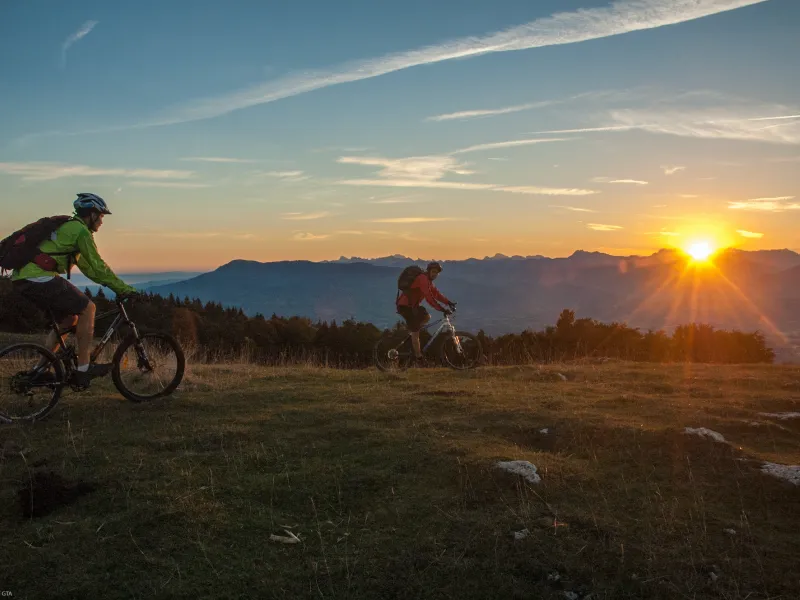
Vtopo 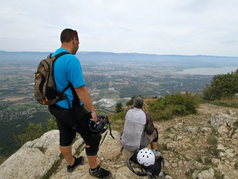
Grandes Itinérances 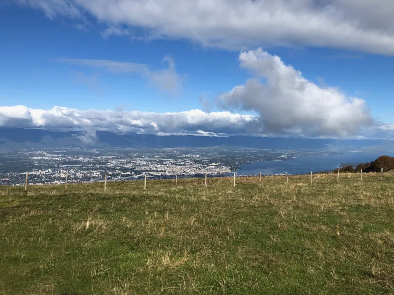
Pixabay 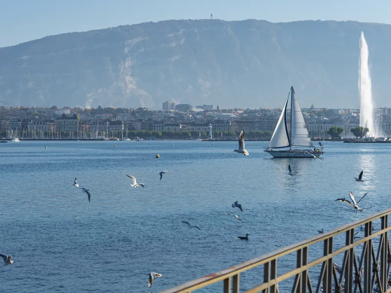
The cycle route continues alongside the Menoge River via the Col des Pitons, heading for Mont Salève (1,335m), a kind of elevated island of greenery rising south of Geneva. The long climb is well worth the effort to enjoy one of the finest views along the whole P’tites Routes du Soleil® route. Perched between the Geneva Plain and the high summits of the département, or French county, of Haute-Savoie, continue along Mont Salève’s crest, making the most of the views over Geneva, the Jura Range, the lakes of Geneva and Annecy, and the Mont Blanc Range.
Gradients and elevation
Ascents: 925m
Descents: 496m
Lowest point: 417m
Highest point: 1292m
Road types
36km (100%) By road
Surface
36km (100%) Smooth
Don’t miss
- Geneva: at the southwest tip of the vast Lac Léman, known in English as Lake Geneva, this city is famed as the seat of many international organizations and NGOs. It stands at the heart of an urban area encompassing over 600,000 Swiss inhabitants (so, without counting the French towns just across the border). Geneva is a lovely place to visit, boasting a rich heritage and history.
- Mont Salève summit (1,379m): for breathtaking views!