arrow_back
Saint-Michel-en-l'Herm / L'Île-d'Elle Vendée Vélo Tour
Nature & small heritage
43,01 Km
2 h 52 min
I cycle often
43,01 km cycling route from Saint-Michel-en-l'Herm to L'Île-d'Elle
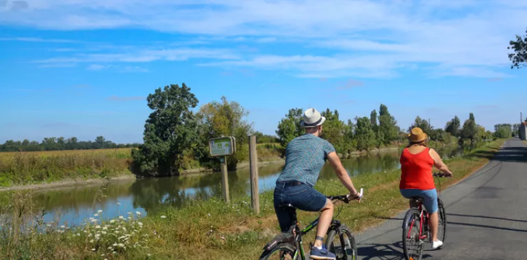
This Vendée Vélo Tour stage makes it clear to cyclists the way to follow through the heart of the polders, in an area where the marshlands create a bare, uniformly flat horizon, the cereal fields divided into neat squares. From the Pont du Brault bridge, head to the Porte des Grands-greniers, where you can observe the workings of a sea-lock that closes automatically as the tide comes in. Next, ride along beside a series of canals, including the Canal des 5 Abbés (created way back in 1217), up to the wetlands of the marais mouillé, the ash-tree-lined meadows here regularly flooded. Cross the quiet villages of Vouillé-les-Marais, La Taillée and Le Gué-de-Velluire, continuing alongside the Vendée River up to Elle Island, marking the end of this stage that has led you to the edge of the famed Marais Poitevin marshlands.
Elevation of the stage
0 m 23 m
Waytypes of the stage
Cycle path: 9,90 km By road: 33,10 km
Surface of the stage
Smooth: 7,40 km Rough: 34,84 km Unknown: 0,76 km
The route
This cycling stage up to Elle Island follows a route forming part of the Vendée Vélo cycling network. From Saint-Michel-en-l'Herm to the Pont du Brault bridge, the way is also part of the Vélodyssée cycle route. At the level of the bridge, branch off the Vélodyssée route and follow the Vendée Vélo signposting towards l'Île-d'Elle.
Do note that this stage is long. Make sure to have plenty of drinking water and do wear a protective hat, as the polders reclaimed from the sea offer very little shade and few buildings providing any shelter.
Don't miss
- Halles du Gué de Velluire, a covered market where you can enjoy a pause on the banks of the Vendée River.
SNCF Train stations
- Note that there are no train stations along this stage.
- The closest train station is at the town of Luçon.

Travellers’ reviews