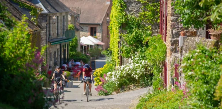
30,82 km cycling route from Alençon to St-Léonard-des-Bois
Elevation of the stage
Waytypes of the stage
Surface of the stage
The route
From Alençon’s basilica, pass under the D 438 road, going by the Sarthe River, then take the Chemin de la Fuie right of the bridge. Continue on for 600 metres, then follow signs for Perseigne. Next, follow signs indicating Chartres/Orléans, using the cycle lane beside the D 955 road. After the railway line, look out for the signposts for the V44. Take care along the D 166 bis road. Arriving at Arçonnay, there’s a useful cycle lane. Then you’re on quiet roads, but with quite significant slopes.
SNCF
Train station at Alençon
Ligne TER : Caen – Alençon – Le Mans – Tours
Ligne TGV/TER: Alençon – Le Mans – Paris
Tourist Information
Office de Tourisme des Alpes Mancelles
Tel: 02 43 33 28 04
Office de Tourisme d'Alençon
Tel : 02 33 80 66 33
Dont's miss
Alençon - Gesnes-le-Gandelin et Moulins-le-Carbonnel - Saint- Céneri-le- Gérei - Jardins de la Mansonnière - Saint-Léonard-des-Bois


Travellers’ reviews