

Port d'Agrès / Maurs
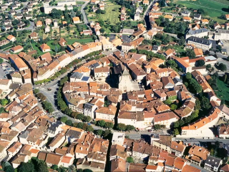
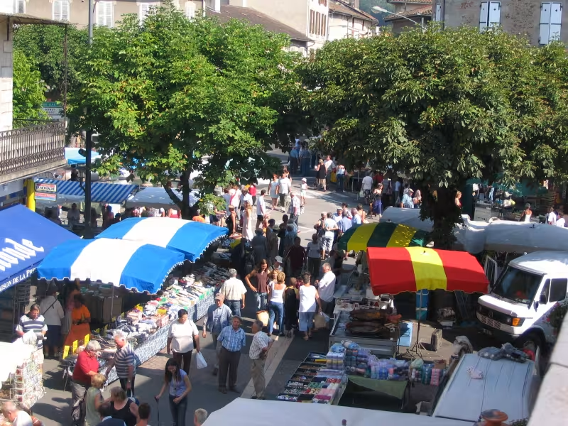
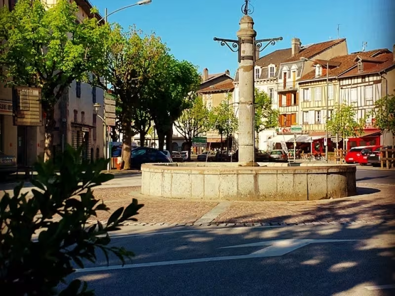
The adventure across the Cantal’s great volcano actually begins in the county (département) of Aveyron, and by the Lot River, at Port d'Agrès, with its medieval roots. The mariners from here used to trade with Bordeaux, their produce shipped down the Lot on traditional river boats known as gabarres. The Grande Traversée du Volcan à Vélo cycle route rises quickly above the river, leading to Maurs la Jolie. Set midway between the gentle Lot Valley and the Cantal Volcano, this fine village, designated a Petite Cité de Caractère, has such a mild climate that comparisons are modestly made with that of the French Riviera!
The GT2V à Vélo, from the Lot Valley to Cantal’s border
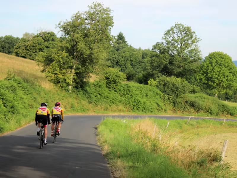
The cycle route rises gradually, alternating between cycle lanes and minor roads used by very little traffic. .
The first 8km-stretch between Port d'Agrès and Saint-Santin-de-Maurs leads you in part along the RD627 road, with some 3km along the north bank of the Lot River, in part along the RD272, a road little used by vehicles. Heading up to Saint-Santin-de-Maurs, the slope along the RD72 is continuous, going through woods. Then, on towards Saint-Constant, extra width is provided for cyclists along an easier downhill stretch.
After Saint-Constant, the route is shared with motorized traffic as you head up gradually to Maurs.
Gradients and elevation
Slope breakdown
Road types
- Cycle path
- Routes reserved for cyclists and pedestrians (greenways, cycle tracks, towpaths), separated from cars for maximum safety.
- Shared road
- Quiet minor roads with little traffic (unless otherwise stated in the stage details). Shared with cars (stay alert).
- Not specified
- Data unavailable or being assessed. Please refer to the detailed stage description.
- Provisional
- Section on a road or cycle path awaiting better-quality facilities (see stage details).
Surface
- Smooth
- Asphalt, tarmac or smooth concrete. Optimal comfort.
- Rough
- Fine gravel, compacted stabilised surface or worn tarmac. Less comfortable, vibrations possible.
- Natural
- Dirt, grass, roots or stones. Under 5%: short sections with little impact. Higher percentage: route suited to mountain or gravel bikes only.
- Not specified
- Data unavailable or being assessed. Please refer to the detailed stage description.
Don’t miss
- Port d’Agrès: the Maison de la Rivière d'Olt, a visitor centre on the local river heritage
- Saint-Santin-de-Maurs: the village stands on the border between the counties (départements) of Aveyron and Cantal
- Maurs: a medieval village with the 14th-century Saint Césaire Abbey church
- Lou Truel: walnut oil mills and apple presses.
Find your accommodation on this stage
Trains and transport on the route
SNCF train station
- Maurs train station: Regional TER line Maurs – Figeac; regional TER coach line Maurs - Aurillac