Aixe-sur-Vienne / Rochechouart

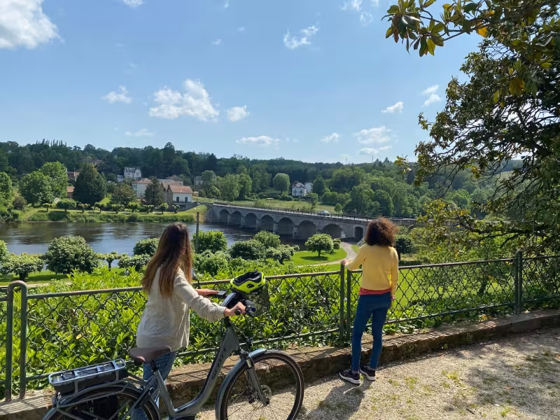
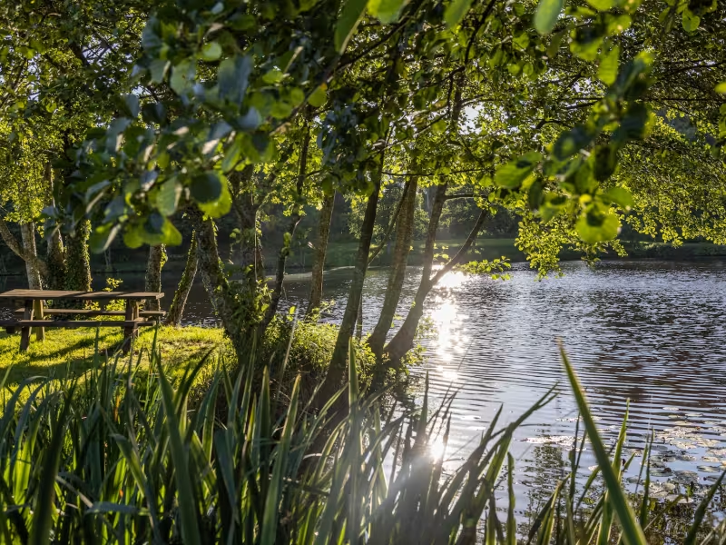
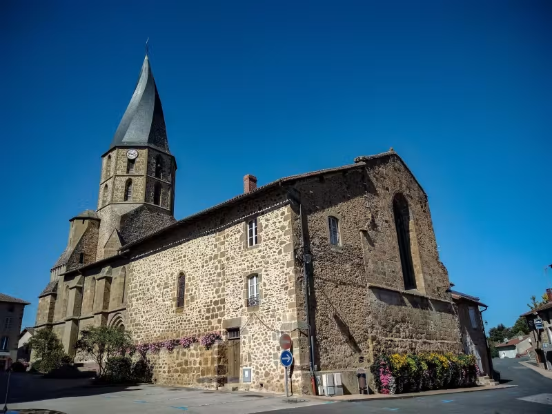
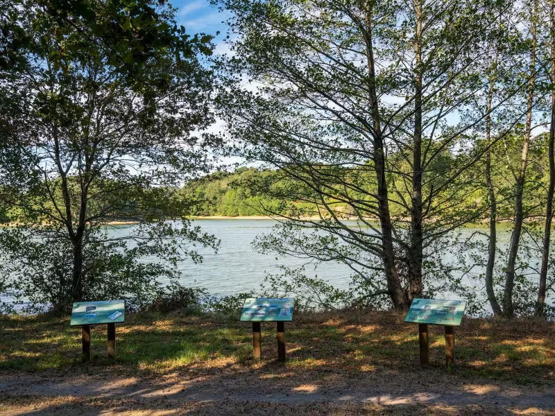
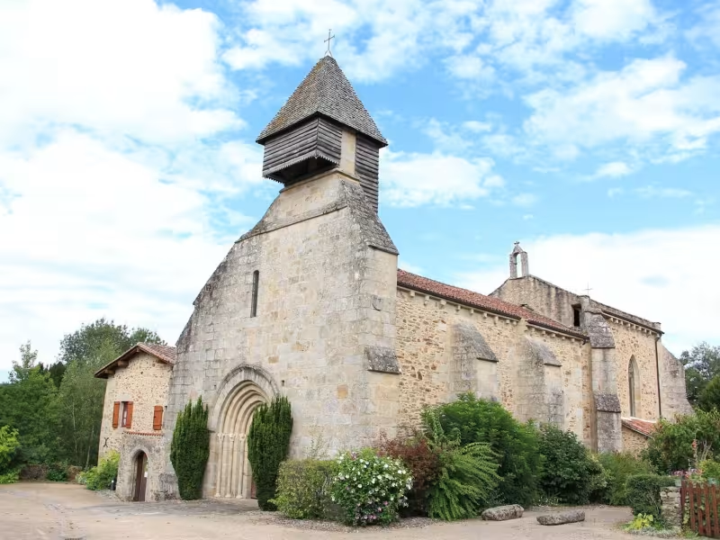
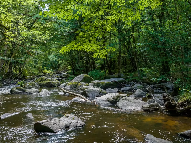
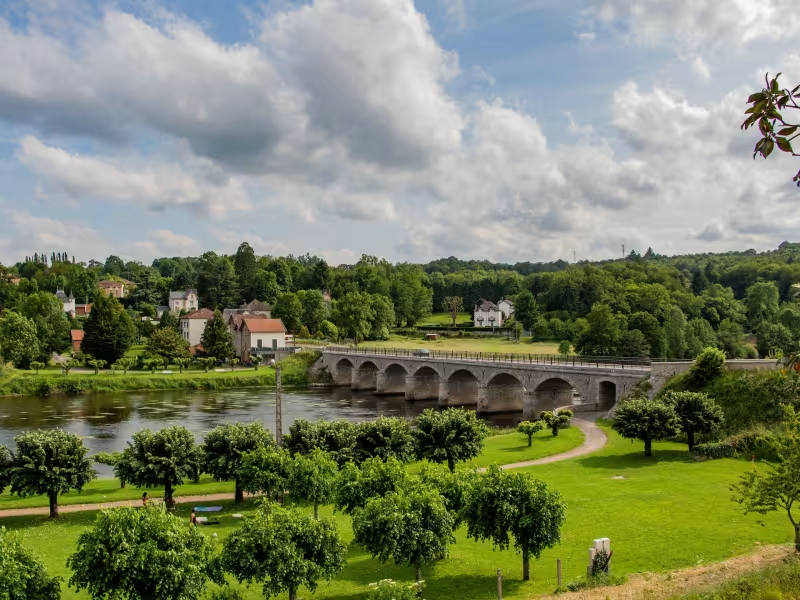
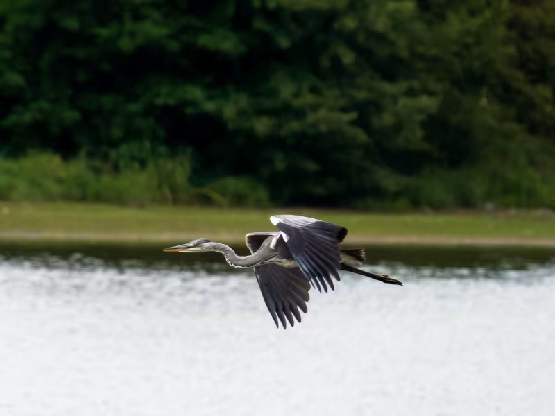
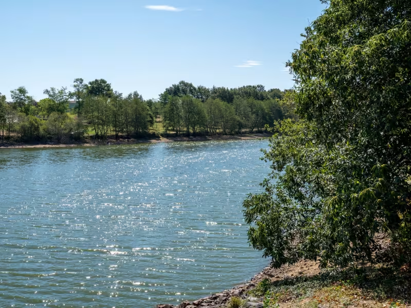
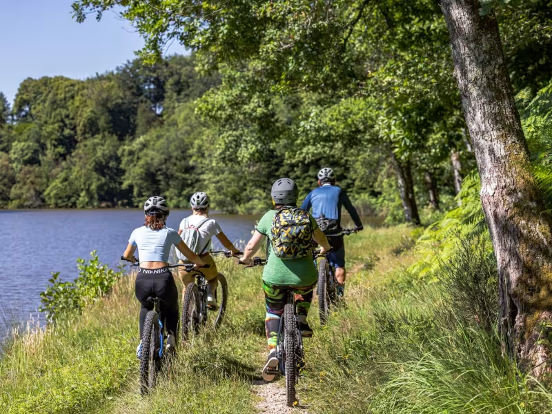
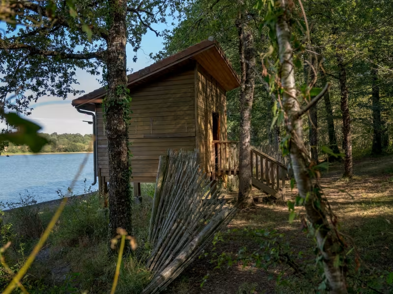
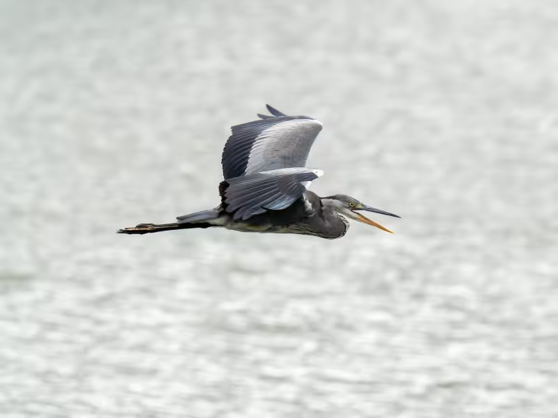
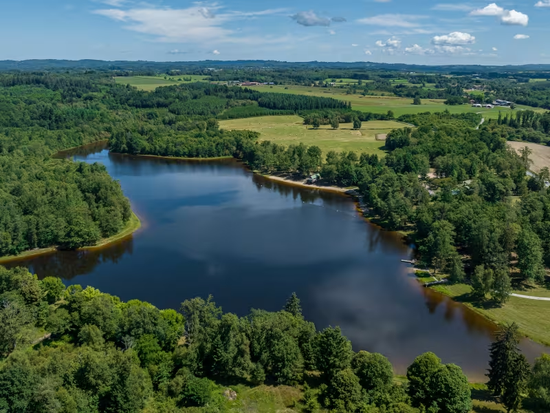
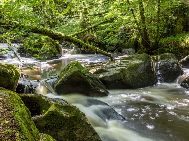
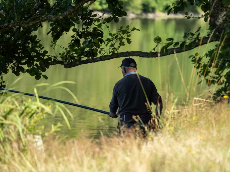
Between Aixe-sur-Vienne and Rochechouart, the Vélidéale cycle route continues to guide you along beside the Vienne; you only leave the river at the end of this stage, at the level of St-Brice-sur-Vienne. Along the way, Saint-Yrieix-sous-Aixe is a charming little town that makes for a perfect place to stop for lunch. As to the Étang de la Pouge, a lake at Saint-Auvent in the midst of the Parc Naturel Régional du Périgord Limousin, and a protected Natura 2000 site, it offers idyllic surrounds to ride around. From its observatory, spot the many species of birds that rest and nest here. Finally, you draw close to the little town of Rochechouart, dominated by its magnificent château guarding the valley, the place now open to visitors as the Musée Départemental d’Art Contemporain.
Gradients and elevation
Répartition des pentes
Road types
Surface
The route
At Aixe-sur-Vienne, you cross the Vienne River. Take care of traffic on the trunk road, the N21. After crossing town, take the D10 road towards Rochechouart, followed by the D32, following the latter road up to St Victurnien. Leave the little town of St Victurnien to your right and take the D116 road in the direction of St Martin de Jussac. Here, on Place de l’Église, turn left for the D58 road towards St Auvent. At the crossroads you encounter on reaching St Auvent, you can continue on to the Étang de la Pouge, a lake mentioned above. The cycle route continues to the right, taking the D10 road for Rochechouart.
Liaison avec la V737 et la boucle cyclo Richard Coeur de Lion Ouest.
Sur la D10 en direction de Rochechouart, la V737 prend la direction d’Oradour-sur-Vayre
Practical information
- Office de tourisme du Val de Vienne
46 Avenue du Président Wilson 87700 Aixe-sur-Vienne - 05 55 70 19 71
https://www.visitlimousin.com/val-de-vienne/ - Office de Tourisme Porte Océanne du Limousin - bureau d’information de Rochechouart
6 rue Victor Hugo 87600 Rochechouart - 05 55 03 72 73
https://www.visitlimousin.com/porte-oceane-du-limousin/
À ne pas manquer
- Aixe-sur-Vienne: the Maison de la Porcelaine; the banks of the Vienne; the Jardin d’Albret (gardens).
- Saint-Priest-sous-Aixe: Forêt des Loges Terra Aventura treasure-hunt trail; the Ferme de Beauregard, a farm specializing in duck and goose foie gras; Le Toinou, for cakes, biscuits and jams; the Pont de la Gabie, a bridge.
- Saint-Yrieix-sous-Aixe: the pretty little town centre and its church.
- Saint-Victurnien: the Base de Canoë, for canoeing; the pretty banks of the Vienne; the Terra Aventura treasure-hunt trail.
- Saint-Martin-de-Jussac: for the little historic village centre and its church.
- Saint-Auvent: the Étang de la Pouge, a lovely lake.
- Rochechouart: the Réserve Naturelle Nationale, a nature reserve; the twisted church spire; the Musée Départemental d'Art Contemporain de la Haute-Vienne, in the splendid Château de Rochechouart; the Ferme Pédagogique
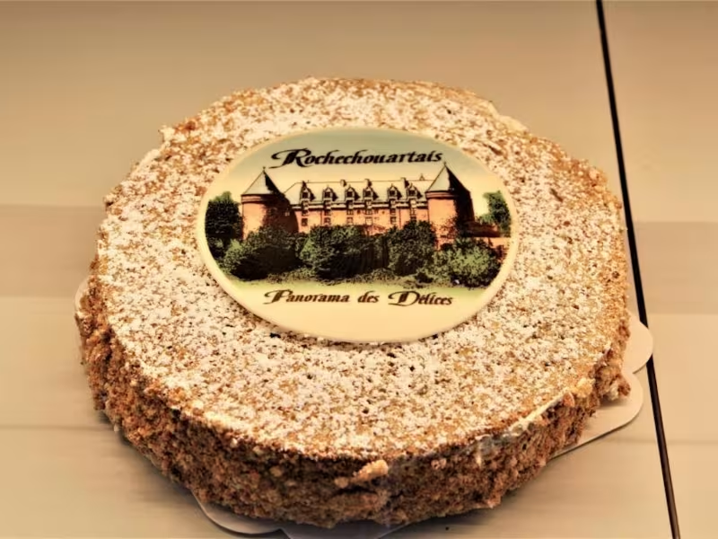
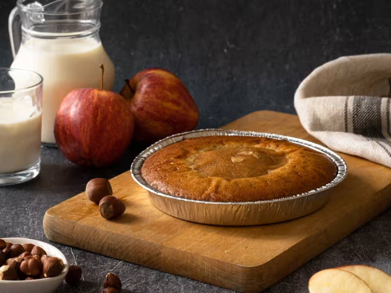
- Terr’happy, an educational farm; the town centre shops; the local cake, the Rochechouartais, including almonds and hazelnuts; the local impact sites, or Astroblème météorite, made some 214 million years ago when a meteorite struck Earth around here!