Jausiers / Barcelonnette / Le Lauzet-Ubaye Grande Traversée L'Alpes-Provence by mountain bike
Mountains
33,56 Km
2 h 14 min
I cycle a lot
33,56 km cycling route from Jausiers to Le Lauzet-Ubaye
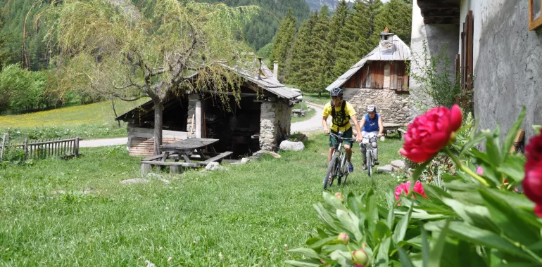
Sticking to the valley bottom, this stage links up various villages and hamlets in the Ubaye Valley via quiet little roads. After Barcelonnette, the mountain-biking route mainly makes use of a railway track that was never completed but that was meant to link Chorges to Barcelonnette.
Elevation of the stage
696 m m
The route from Jausiers to Le Lauzet-Ubaye by mountain bike
Up to the town of Barcelonnette, the Grande Traversée VTT L'Alpes-Provence follows quiet minor roads. Then come two stretches that are distinctly different in style. The first, up to Les Thuiles, takes you along the Ubaye’s north bank, essentially through low undergrowth, along a playful trail. The second leads on to Le Lauzet-Ubaye via an undulating forest path on the Ubaye’s south bank. Twice along here, you have to negotiate a more technically and physically demanding stretch of trail through woods.
Don't miss
- Jausiers: Col de la Bonnette pass (at 2802m, boasting the highest road in Western Europe)
- Barcelonnette: a town characterized by its Mexican-style villas
- White-water sports on the Ubaye River
- Méolans Revel: Maison du Bois, on local wood traditions
Travellers’ reviews