Mountains
27,61 Km
1 h 50 min
I cycle a lot
27,61 km cycling route from Salérans to Sisteron
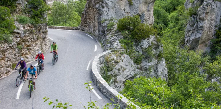
There are two marvels to relish on this stage of the P'tites routes du Soleil®: the descent through the bottom of the Gorges de la Méouge; and the citadel at Sisteron, dramatically guarding the Durance Valley. The way along the Gorges de la Méouge is gentle and delightful, providing a lovely way of exploring this marvel of the Hautes-Alpes. Charms include unspoilt local flora, a three-arched Roman bridge, and the often lively torrent itself. You climb out of these gorges by tackling a low pass to reach Sisteron via the Chemin de la Marquise. At the end of this stage, explore Sisteron’s citadel, dominating its stretch of the Durance Valley.
Elevation of the stage
344 m 179 m
Waytypes of the stage
By road: 27,61 km
Surface of the stage
Smooth: 27,61 km
Don't miss:
- Swimming in the Méouge River: erosion caused by this river has carved out numerous deep pools of turquoise water in which to go swimming. Beside the three-arched bridge or along one of the pebble beaches, seek out an idyllic spot on which to lay out your towel!
- Sisteron: a pretty town occupying a dramatic site near the confluence of Durance and Buëch Rivers, the place has been nicknamed the Porte de la Provence, or Gateway to Provence, for those coming down from the former province of Dauphiné. Sisteron’s famed citadel stands out, but the town boasts a rich wider heritage, notably from medieval times.
- Sisteron Citadel: built on a rocky outcrop, the citadel is the first thing you see arriving at Sisteron. Located on the frontier between the old provinces of Dauphiné and Provence, its fortifications have long been seen as a strategic key dominating the Durance Valley on this major route from the French Alps down to the Mediterranean.


Travellers’ reviews