All stages on P'tites Routes du Soleil
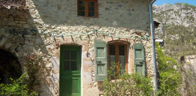
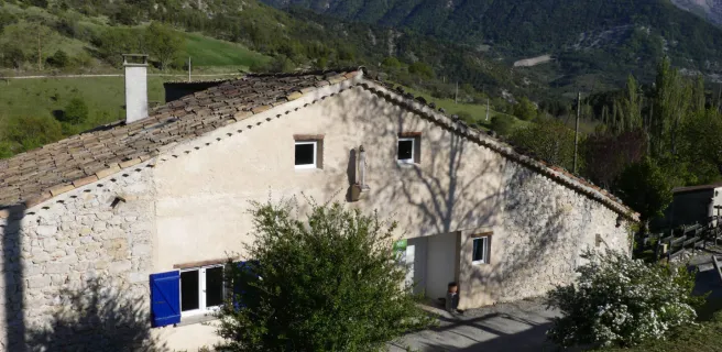
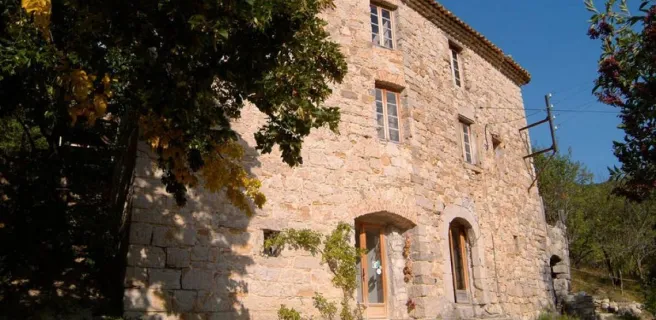
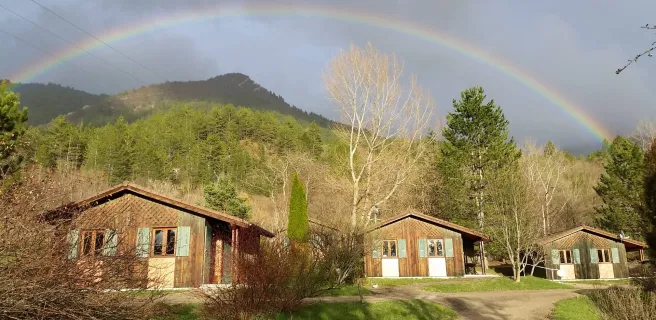
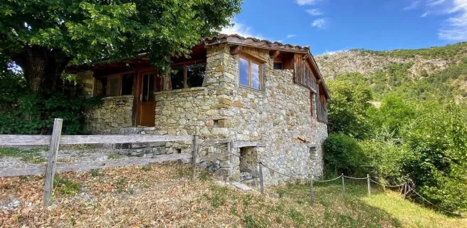
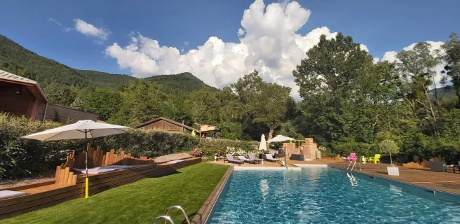
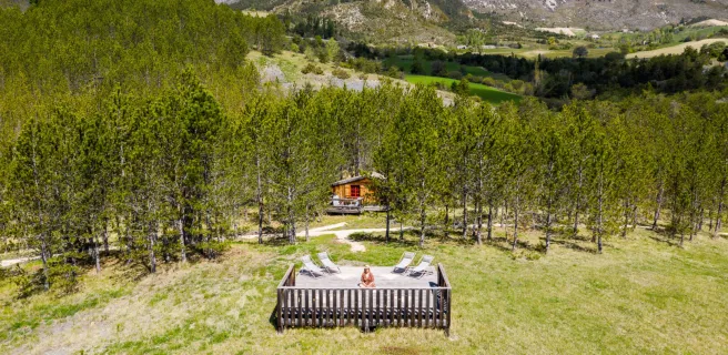
Valdrôme / Valdoule
Lionel Pascale ADT Drôme 
Lionel Pascale ADT Drôme 
Lionel Pascale ADT Drôme 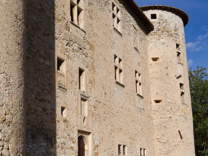
Lionel Pascale ADT Drôme 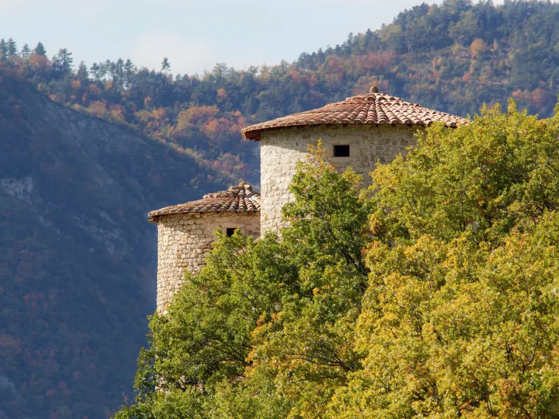
Lionel Pascale ADT Drôme 
DR GIS 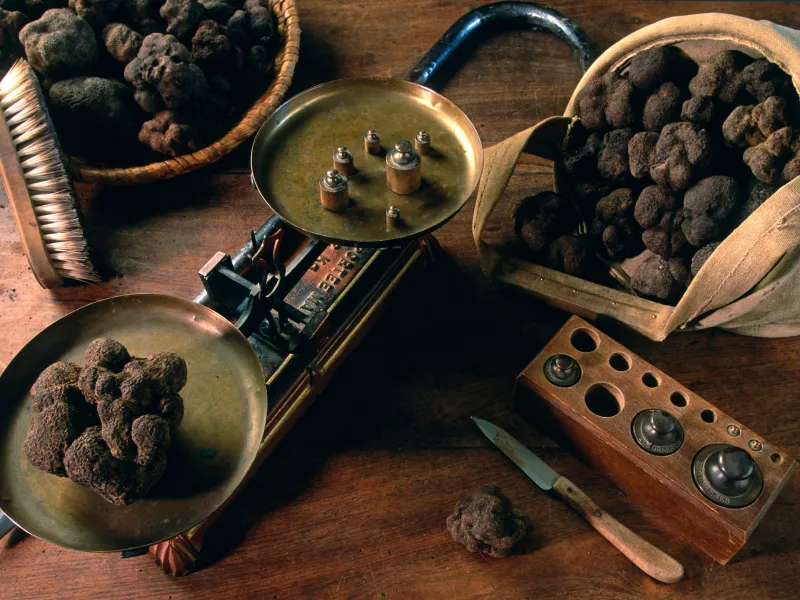
Lionel Terrail - Grandes Itinérances 
DR GIS 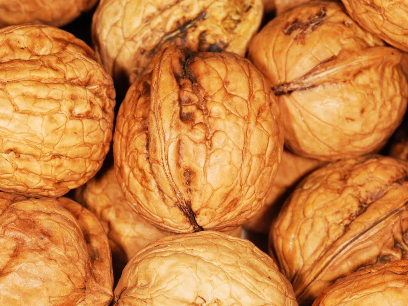
From the Haut Diois area to the Oule Valley, the P’tites Routes du Soleil® crosses into the département, or French county, of Hautes-Alpes, skirting around the Crête des Dindarêts. The climb to the Col de Rossas (a pass at 1,125m) is regular. This is the only difficulty you’ll encounter before descending again to the Château de la Charce, once home to local 17th-century feisty fighting heroine Philis de la Charce. A deceptively flat-looking stretch takes you up the Oule Valley, known for its truffles. These local ‘‘black diamonds’’ are found around holm oak trees, harvested in winter, and renowned for their flavour, if you get the chance to taste them.
Gradients and elevation
Ascents: 569m
Descents: 599m
Lowest point: 617m
Highest point: 1122m
Road types
31km (100%) By road
Surface
31km (100%) Smooth
Don't miss:
- Bruis walnuts: the unique way they’re cultivated, in conjunction with sheep rearing, is supported by the slow food movement, encouraging consumers to embrace biodiversity, solidarity and quality in our food.
- Montmorin: a lovely village with a ruined castle, a church and a clock tower. Make sure you also see the Chapelle Notre-Dame de la Paix, east of the village, and take in the viewpoint over the Crête des Aiguilles on the climb to the Col des Tourettes.