Bagnols-les-Bains / Le Pont-de-Montvert
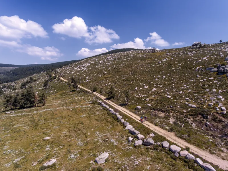
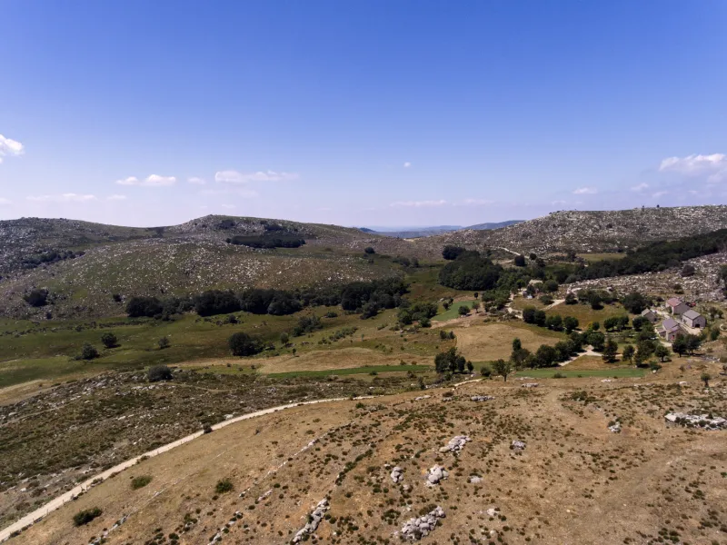
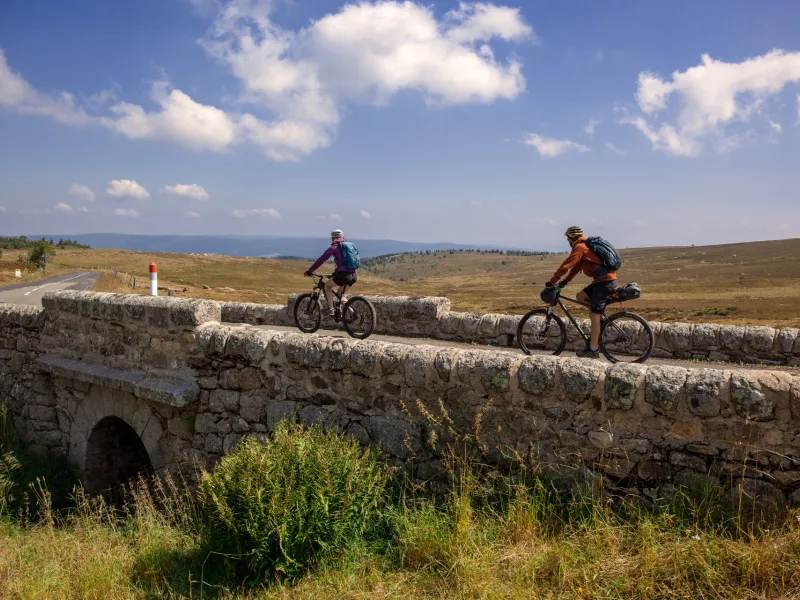
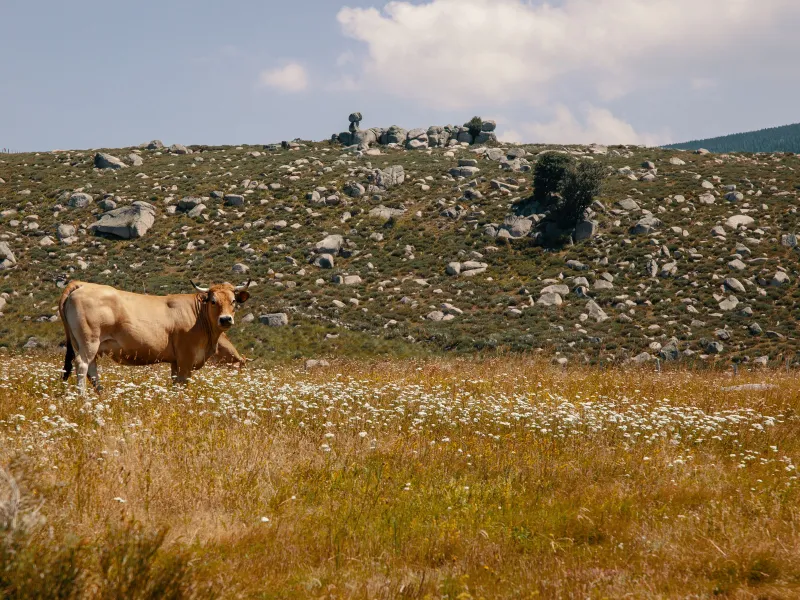
Well-maintained GTMC tracks take you up to the summits of the mighty Mont Lozère, surrounded by high summer pastures and copses of Scots pines. Next, enjoy magnificent views from a balcony of a stretch of track, the panorama sometimes opening up to the south, sometimes to the north, with the Margeride area you may just have cycled through. While the route doesn’t take in the summits of the Mont Lozère themselves, you pass close by, before reaching the Col de Finiels, a pass at one of the highest points along the whole of the GTMC – 1,541m above sea level. Enjoy the lovely pastoral atmosphere along this stage, taking you through isolated hamlets, the high summer pastures close to the source of the Tarn River, and the first stretches of the Tarn, marked by waterfalls and water holes. Finally, you arrive at the character-filled village of Le Pont de Montvert.
Gradients and elevation
The route
From the very first, expect to climb… and for some 10km! You will though be mainly cycling along good tracks and small country roads. After reaching the Col de Finiels, enjoy the long, comfortable descent that follows, first using a good track, then a quiet country road.