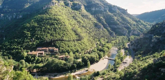
Sainte-Enimie / Fraissinet-de-Fourques
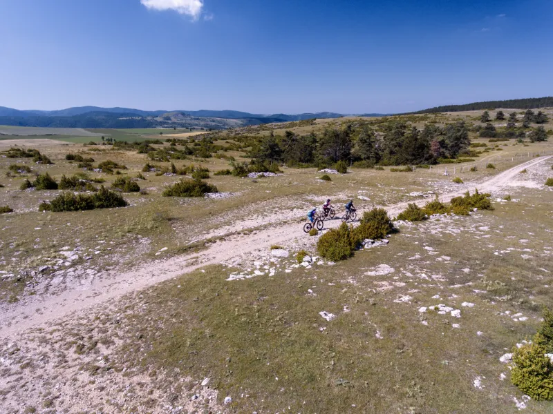
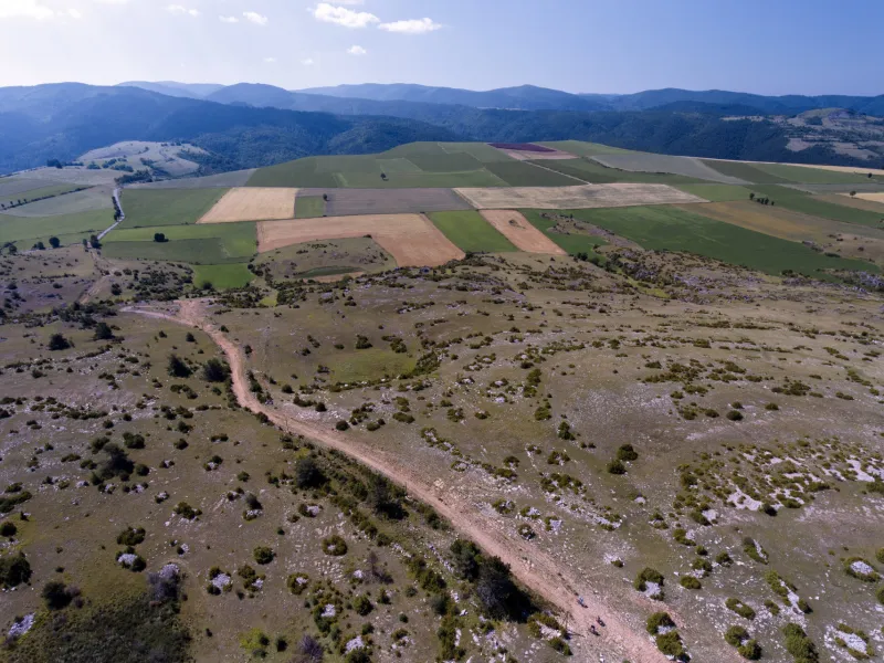
Continue cycling beside the Tarn using a track that is in parts perched quite high and technically demanding (see details below) to reach St Chely du Tarn, located on a meander in the river. A narrow, dramatic route then leads up to the Col de Coperlac, taking you up to the Causse Méjean, the highest of the Causse plateaux, its highest point 1,247m above sea level. On high, the cycling flows easily, allowing you to survey your surroundings as you cross several hamlets and to enjoy magnificent views over the Causse and the Aigoual Range.
Gradients and elevation
The route
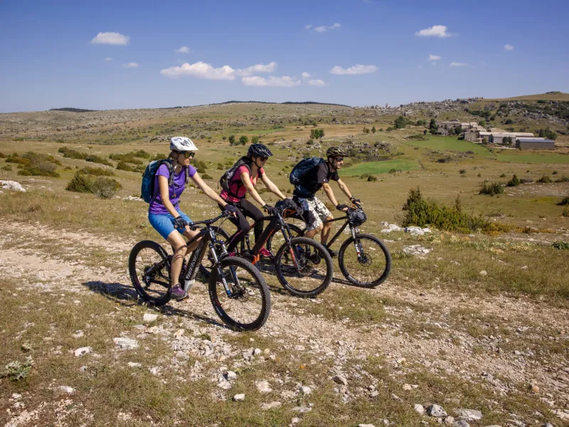
There are long, technically challenging climbs on this stage and many portions that are difficult to negotiate. In short, this stage provides a fine test for mountain bikers! During the first ascent, be especially careful along the many stretches where you pass beside walls with big drops beyond and where the path is very narrow! Less experienced mountain bikers and those who don’t have a good head for heights are strongly advised to reach the Col de Coperlac (at an altitude of 903m) from Sainte-Enimie by cycling along the D986 road.