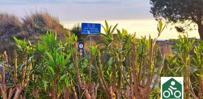
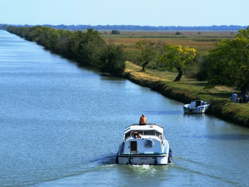
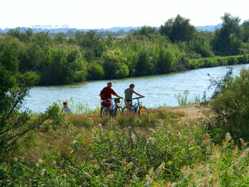
The ViaRhôna route has been set up between Gallician and Aigues-Mortes. On this stage along a greenway, you cross a portion of the Camargue Gardoise (the western, Languedoc side of the Camargue). The flora and fauna are exceptional. You cycle along the former towpaths beside the Canal du Rhône à Sète, crossing through typical marshland to reach the splendid walled port of Aigues-Mortes, set amidst marshes, vineyards and saltpans. Take in these extraordinary landscapes from the top of the Tour Carbonnière, an historic guards’ tower. Two further cycling circuits starting from Gallician enable you to discover more of the surrounding vines, marshes and reedbeds.
Gradients and elevation
Slope breakdown
Road types
- Cycle path
- Routes reserved for cyclists and pedestrians (greenways, cycle tracks, towpaths), separated from cars for maximum safety.
- Shared road
- Quiet minor roads with little traffic (unless otherwise stated in the stage details). Shared with cars (stay alert).
- Not specified
- Data unavailable or being assessed. Please refer to the detailed stage description.
- Provisional
- Section on a road or cycle path awaiting better-quality facilities (see stage details).
Surface
- Smooth
- Asphalt, tarmac or smooth concrete. Optimal comfort.
- Rough
- Fine gravel, compacted stabilised surface or worn tarmac. Less comfortable, vibrations possible.
- Natural
- Dirt, grass, roots or stones. Under 5%: short sections with little impact. Higher percentage: route suited to mountain or gravel bikes only.
- Not specified
- Data unavailable or being assessed. Please refer to the detailed stage description.
The route
Starting from the port of Gallician, a lovely tarmacked cycle track leads you safely as far as Aigues-Mortes.
At the junction with the D 46 road, make a little detour (of just 250m) to climb the Tour Carbonnière to make the most of the grand views over the Camargue Gardoise area.
Links
There’s a 7km-long tarmacked greenway between Gallician and Vauvert, going along beside the Canal du Bas-Rhône Languedoc
Starting from central Gallician, consider two discovery trails, cycling along on roads shared with motorized traffic, the Camargue Gardoise circuit covering 17km, Les Costières circuit 23km.
See here for further information
SNCF train services
Vauvert train station
Aigues-Mortes train station
- Ligne TER : Nîmes-Aigues-Mortes-Le Grau du Roi
Tourist Information Centres :
- Office de Tourisme de Saint-Gilles +334 66 87 33 75
- Office de Tourisme de Vauvert Petite Camargue +334 66 88 28 52
- Office de Tourisme d'Aigues-Mortes +334 66 53 73 00
Don't miss
Gallician : Centre de découverte du Scamandre
The Tourradons bridge and the view of the Camargue Gardoise
The Carbonnière Tower and its 360° panorama
Aigues-Mortes: walled city, walk on the ramparts and panorama from the Constance tower, visit of the salt marshes.