13,39 km cycling route from Langeac to Prades
Elevation of the stage
Waytypes of the stage
Surface of the stage
The Via Allier route from Lavoûte-Chilhac to Prades
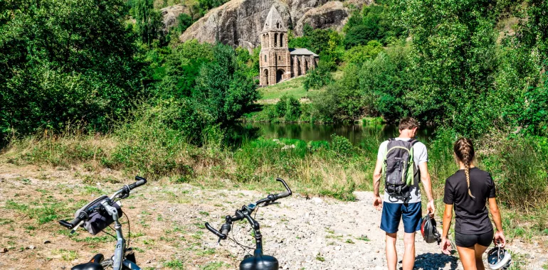
The Via Allier cycle route leads you out of Langeac along the D585 road, climbing to the villages of Chanteuges and Saint-Arcons-d'Allier. Next, change bank to follow the D48, a narrower road that takes you as far as Prades, bringing you ever closer to the Allier River. Take care crossing the bridges on this stage as well as at the places where you need to cross over or under the railway line.
Don't miss
Chanteuges: the 12th-century abbey, added to in the 15th century, but retaining Romanesque capitals, the abbot’s chapel and the remnants of the cloister; the perched village with its cobbled lanes; the Conservatoire National du Saumon Sauvage (on wild salmon).
Saint-Arcons-d'Allier: the perched village; the 14th-to-15th-century church; the historic priory; the 15th-century tower; the gardens and terraces.
Saint-Julien-des-Chazes: the 15th-century church containing a 12th-century Virgin in Majesty; the vestiges of the Abbey of Les Chazes; the 13th-century Chapelle Notre-Dame-des-Chazes beside the Allier.
Prades: a village built amidst granite and basalt rocks, overseen by the Roche Servière (90m in height); the basalt columns; the riverside beach; the Romanesque church; and vestiges of the feudal château.
Railway station
Langeac : Line TER Clermont-Ferrand <> Langogne


Travellers’ reviews