Via Allier
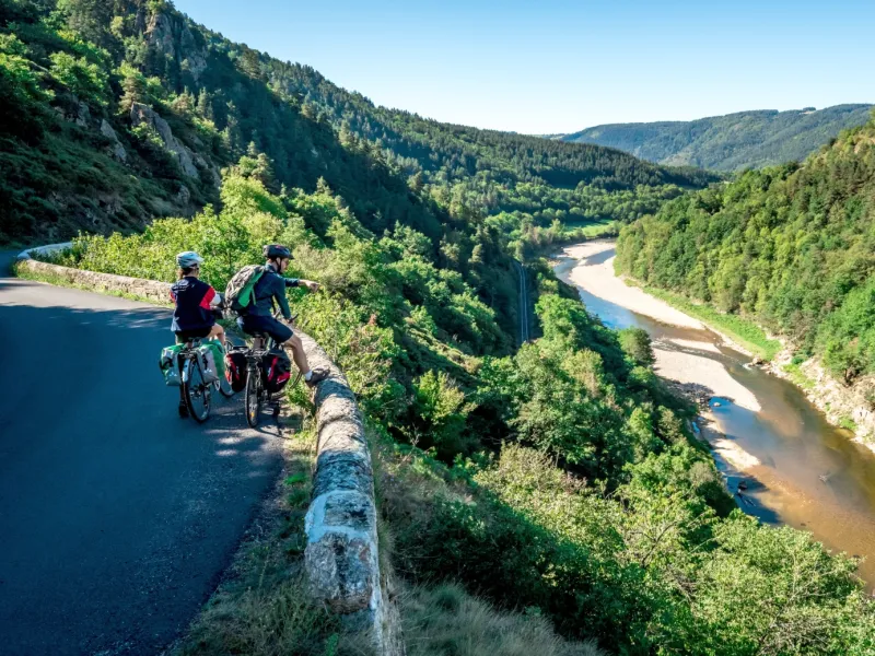
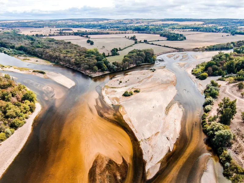
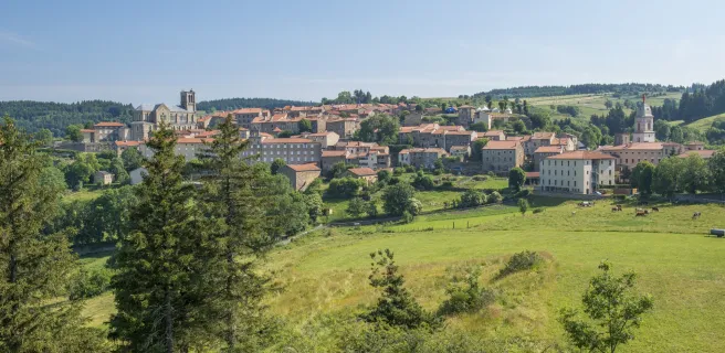
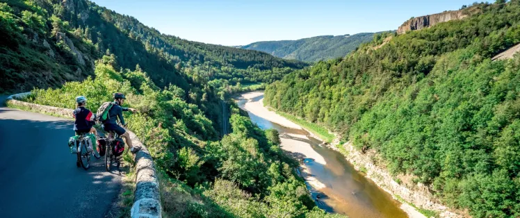
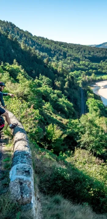
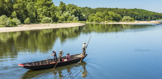
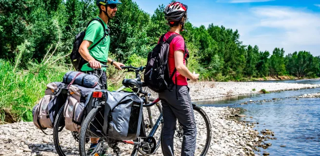
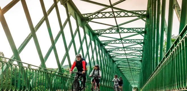
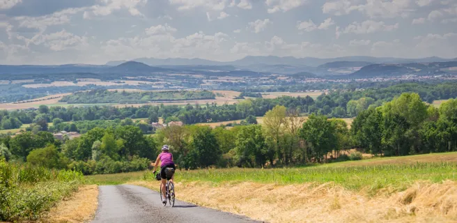
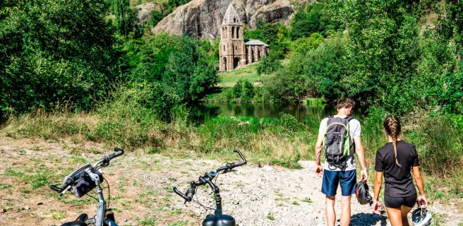
The Via Allier cycle route offers cyclists the chance to tackle the Allier, a major Loire tributary, heading upstream. The way starts from the Allier’s confluence with the Loire, close to the city of Nevers, going down to Langogne, a town close to which the Allier springs. The adventure begins where the Allier’s waters meet the Loire’s, at the Bec d’Allier. Follow, by bike, the migrating wild salmon journeying this way from the Atlantic, heading up the Allier, crossing the historic region of Auvergne north to south! Along the way, admire a whole variety of landscapes, going from alluvial flood plains and cereal plains, via the Auvergne’s volcanoes and its heritage-filled towns and villages, to the spectacular finale of the Allier Gorges. This cycle route mostly follows quiet country roads. It doesn’t present any particular difficulties, except along the final third, where it becomes markedly steeper.
Signposting and layout along the Via Allier
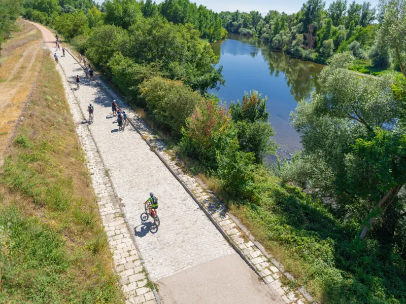
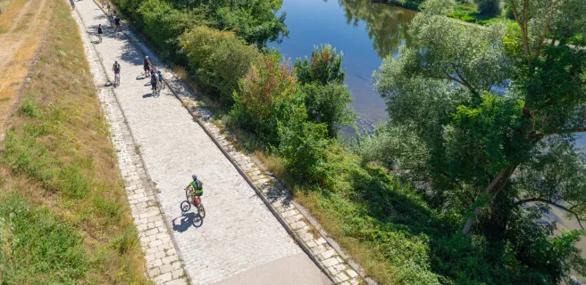
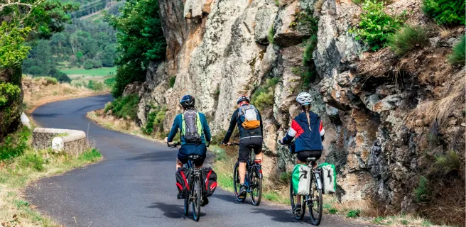
The Via Allier cycle route is mainly laid out along quiet country roads with little traffic. Between Billy and Saint-Yorre, a greenway has been put in place.
The cycle route is signposted with green and white signs, sometimes featuring the route’s logo.
Levels of difficulty and terrain
Between Nevers and Pont-du-Château, the Via Allier cycle route doesn’t present any particular difficulties. On the final third of the route, between Pont-du-Château and Langogne, there are much steeper sections only suitable for seasoned cyclists or those on electric bikes.
Gradients and elevation
Road types
Surface
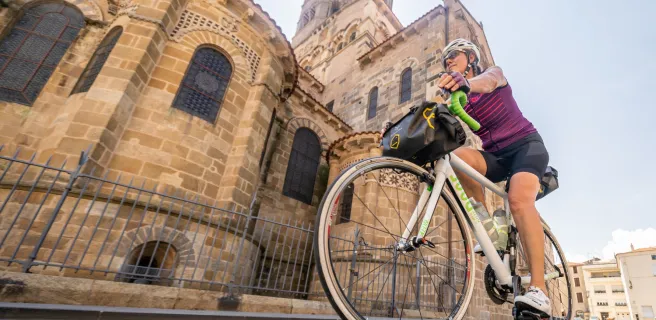
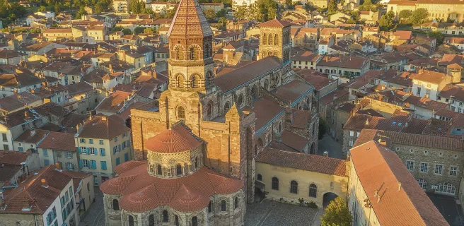
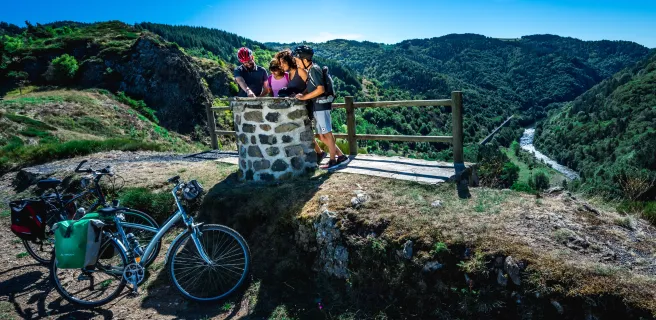
Not to be missed on this route

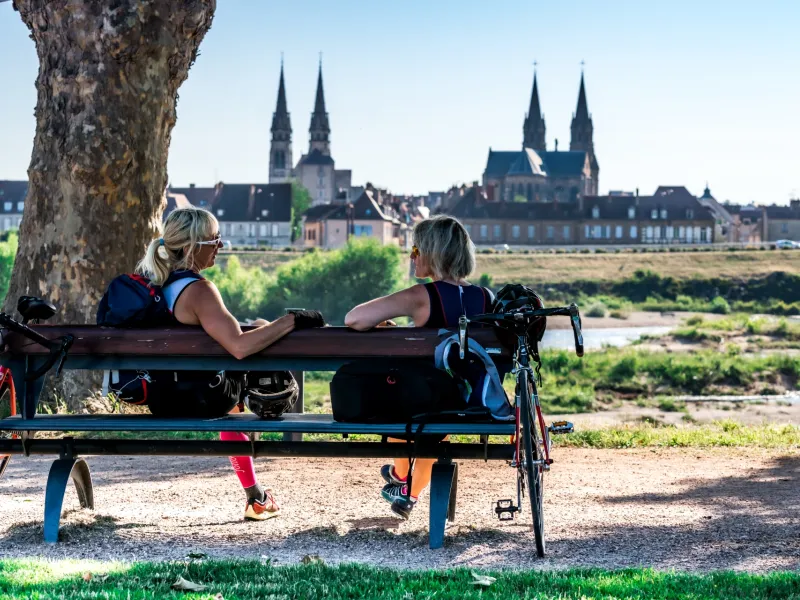
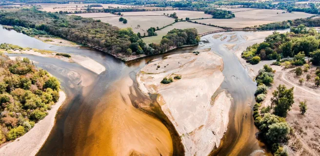
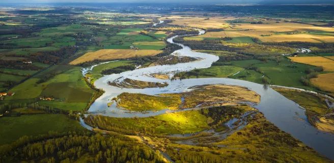
Le Bec d'Allier, overlooking the confluence between Loire and Allier
Trains and transport on the route
The Via Allier is fairly well served by SNCF stations. Stations are located close to the route, making it easy to join and leave the cycle route. Most services are TER trains, so no booking is required to take your bike on board. Except for the Intercités line from Clermont-Ferrand to Paris via Vichy, Moulins and Nevers, where you must book a seat for yourself and your bike (€10 per bike).
Access by train
- To reach the start (Nevers): Nevers station
- From the finish (Langogne): Langogne station
View infrastructure on the map
Reviews for Via Allier
"Accueil Vélo" accommodation on Via Allier
43 Accueil Vélo accommodations await you on Via Allier!
View accommodations on the map
Séjours clés en main
Partez l'esprit léger sur ce parcours avec les séjours organisés de nos agences partenaires.

The 18 stages of Via Allier
1 Nevers / Sancoins
2 Sancoins / Le Veurdre
3 Le Veurdre / Moulins
4 Moulins / Saint-Pourçain-sur-Sioule
5 Saint-Pourçain-sur-Sioule / Vichy
6 Vichy / Puy-Guillaume
7 Puy-Guillaume / Pont-du-Château
8 Pont-du-Château / Vic-le-Comte
9 Vic-le-Comte / Issoire
10 Issoire / Brassac-les-Mines
11 Brassac-les-Mines / Brioude

12 Brioude / Lavoûte-Chilhac

13 Lavoûte-Chilhac / Langeac
14 Langeac / Prades
15 Prades / Saint-Privat-d'Allier
16 Saint-Privat-d'Allier / Le Pont d'Alleyras
17 Le Pont d'Alleyras / Saint-Haon - Nouveau Monde