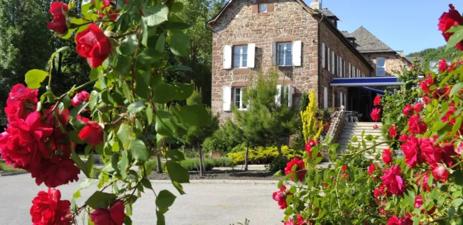
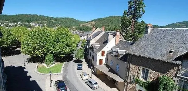
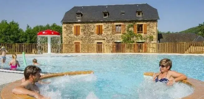
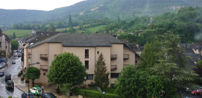
Saint Geniez d'Olt et d'Aubrac / La Canourgue
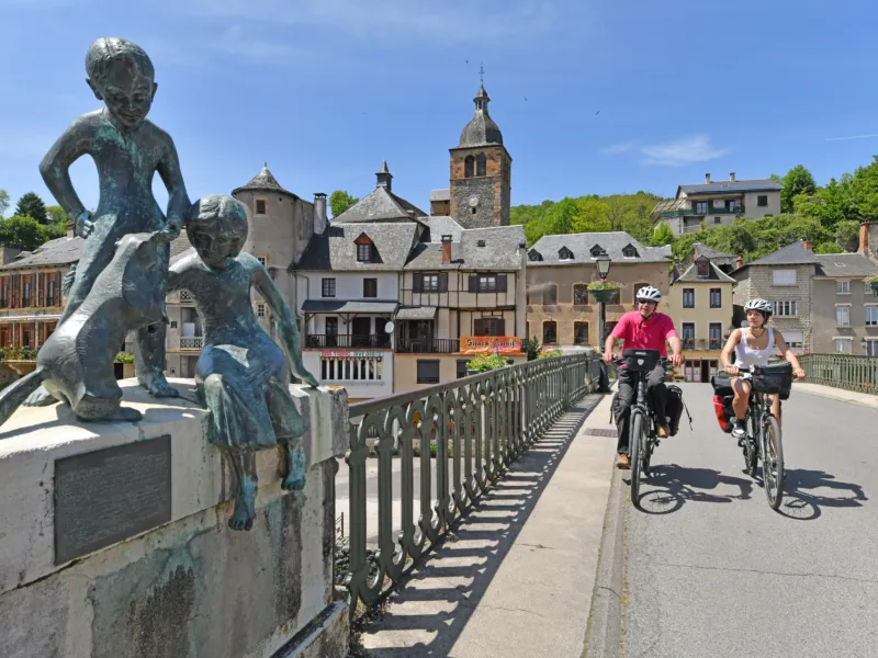
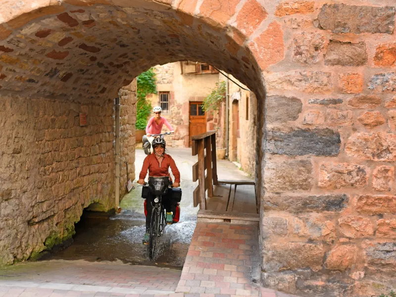
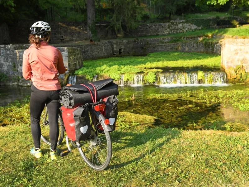
Ever higher, ever more beautiful. Cycling starts on the pretty D509 along the banks of the Lot as far as Pomayrols. From there, it's a seemingly endless climb through the green twists and turns of a wild chestnut grove to the approach of Saint-Laurent-d'Olt. The route is refreshed by the "boraldes", the powerful streams that flow down from the Monts d'Aubrac. The end of the stage is more leisurely, leading to the gateway to Lozère, to La Canourgue, the "little Venice of Lozère". Welcome to Lozère, the highest department on the route and the least populated in France. What a promise! The route to Mont Lozère is currently being defined.
The cycle route
Signposted La vallée du Lot à vélo (V 86).
D509 left-bank road from Saint-Geniez-d'Olt to Pomeyrols, then right-bank road to Saint-Laurent-d'Olt, on very steep, narrow roads with very little traffic: passages with gradients > 8%, then a 5 km climb to the Falguières sector, offering superb views of the Monts de Lozère. D 988 from Saint-Laurent-d'Olt to Banassac with relatively heavy traffic and commercial vehicles. Safe road under construction. From Banassac to La Canourgue, low-traffic lanes or rustic greenway along the D 988.