Pouldreuzic (Penhors) / Penmarc'h
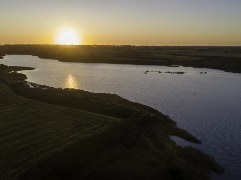
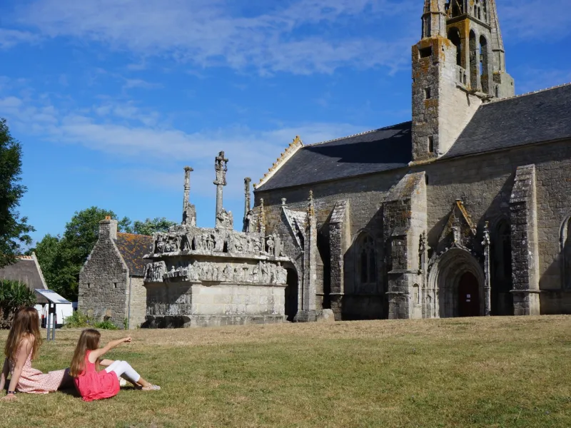
Peace and nature as far as the eye can see are guaranteed on this leg of the coastal cycle route. The route bypasses the Biological Reserve of the Trunvel-Tréogat pond, a migratory bird ringing station unique in France. After a few kilometers, the journey takes a more maritime turn. Admire the chapel of Tronoën before arriving near the famous Pointe de La Torche. It's well worth the detour and its quota of sea spray! We then arrive at the port of Saint-Guénolé, specialized in sardine fishing. A few pedal strokes later and you're in Penmarc'h. The 60-metre-high Eckmühl lighthouse offers a breathtaking view.
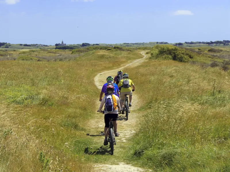
The cycle route
The stage is generally hilly. One section is more difficult at the Etang de Trunvel, with some tricky ascents and descents. You can join the V45 cycle route from Quimper, Douarnenez and Pont-l'Abbé, or make loops with the BreizhGo car+bike service.
Gradients and elevation
Road types
Surface
Do not miss
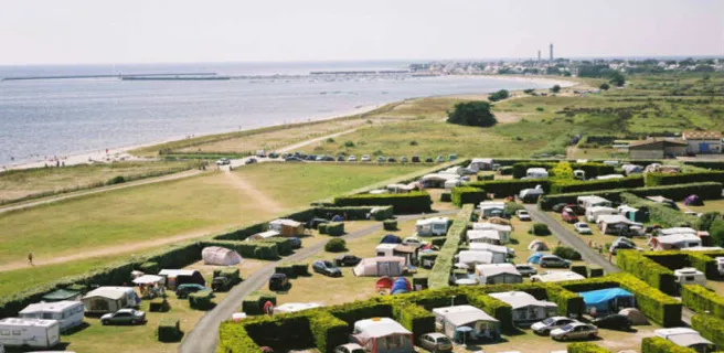
- Pouldreuzic : Penhors beach
- Plovan : Ru Veïn beach
- Tréogat : Kerbinigou beach
- Plonéour-Lanvern : Kermabec beach
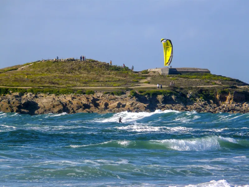
- Pointe de la Torche
- Saint-Guénolé Port
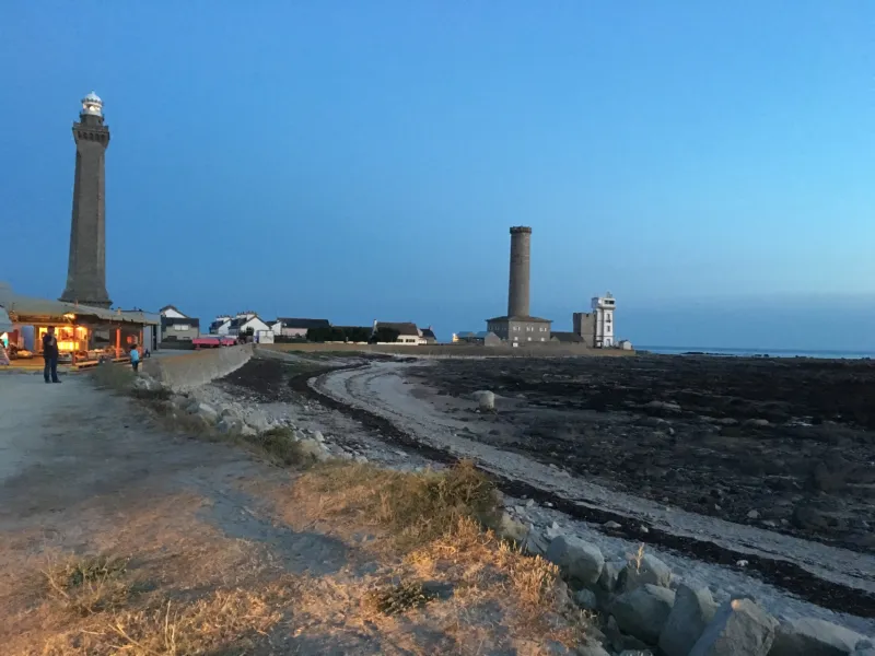
- Penmarc'h : Eckmül lighthouse