Annecy / Albertville
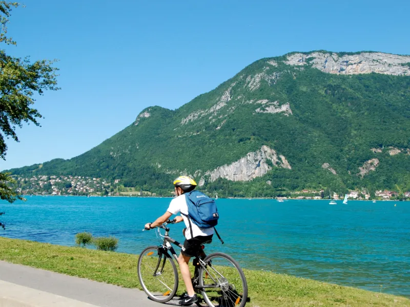
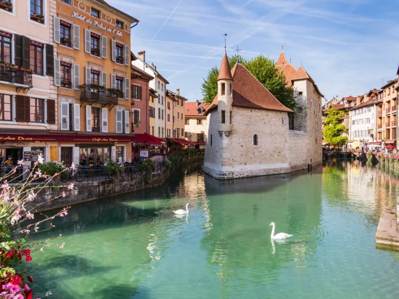

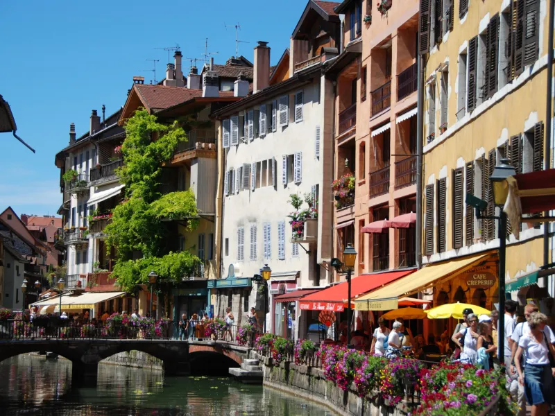
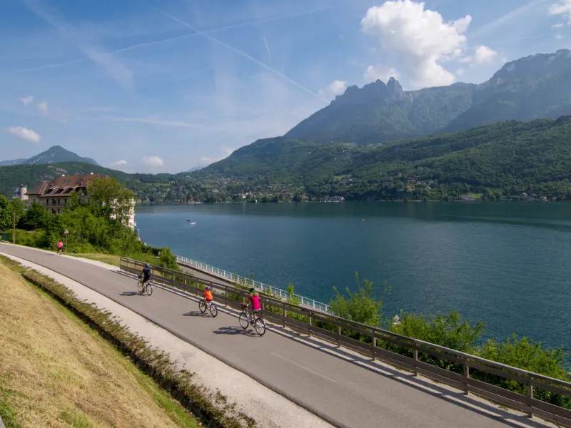
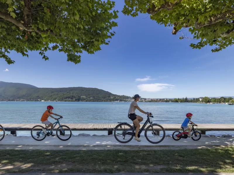
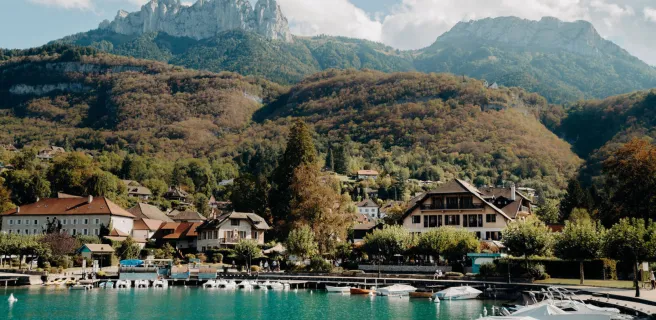
After visiting the historic heart of Annecy with its cobbled streets and meandering canals reflecting pastel-coloured houses, head towards the great Lac d’Annecy to cycle off on the next stage of our cycle route guiding you through the heart of the Alps. La Belle Via leads you along the exceptionally scenic greenway running beside Annecy’s lake, taking you via the villages and beaches of the lake’s west bank. It follows the track of a former steam railway line, going as far as Les Sources du Lac d’Annecy and the Réserve Naturelle du Bout du Lac at the lake’s southern end, before leading you in the direction of the little town of Ugine and the Pays d’Albertville area.
The Route
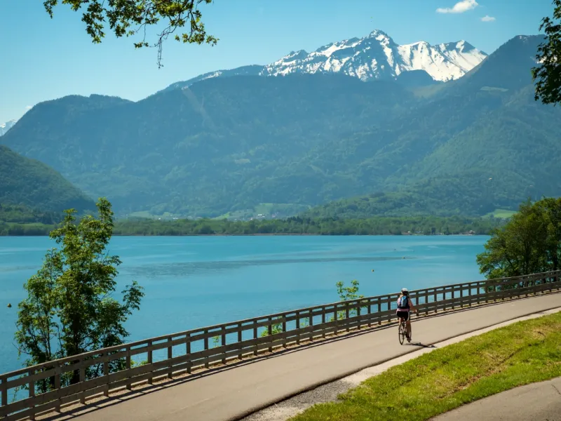
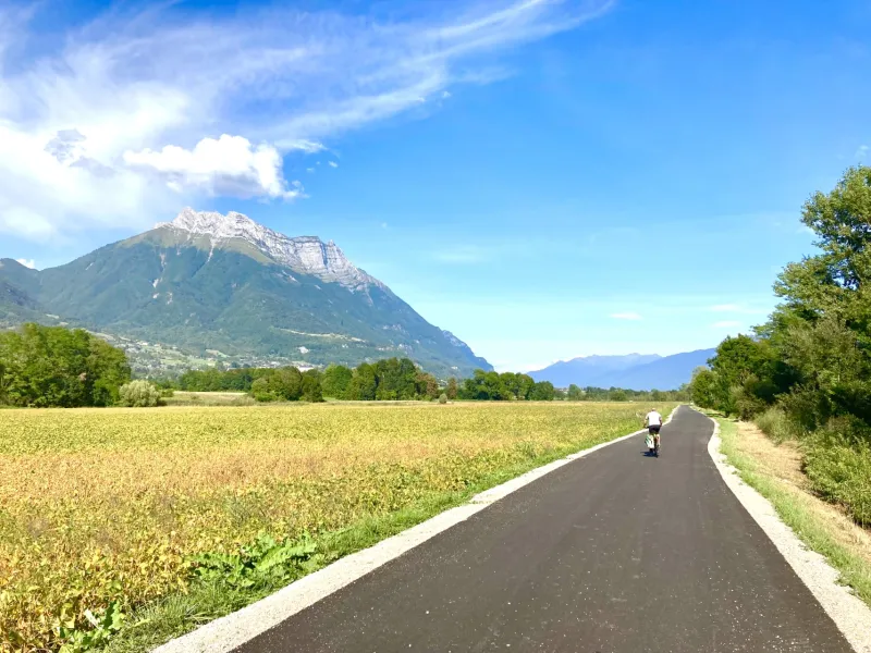
Starting from Annecy, the Voie Verte du Lac d’Annecy is one of France’s oldest greenways. Following the famous lake’s west bank, it allows cyclists to discover the exceptional local environment, sandwiched between lake and mountains. From Annecy to Val de Chaise (Marlens), the greenway allows riders to enjoy a segregated track for almost 33 km, the way just shared with pedestrians. You ride right beside the lake, past its beaches, crossing small waterside villages. You can cycle along without hindrance on this easy greenway taking you on to the small town of Ugine. After Ugine, the way alternates between further stretches of greenway and stretches on county roads, guiding you south to Albertville. Take care at the level of the bridge, the Pont de Césarches.
Gradients and elevation
Road types
Surface
Don't miss
- The banks of lac d’Annecy: beaches and water sports available at Les Marquisats, Sevrier, Saint-Jorioz and Doussard, plus there are rest areas (aires de repos in French) with facilities for cyclists
- Sevrier: musée de la cloche Paccard devoted to traditional bell-making
- Duingt: the château de Duingt (not open to the public)
- Bredennaz: steam railway, recalling the former railway line now transformed into your cycle route
- Faverges - Seythenex: Sources du Lac d’Annecy – local terroir produce available from La Boîte à Mélisse and L’Alchimie brewery. Nearby: Seythenex cave and waterfall (a UNESCO Geopark geosite)
- Marlens: lake / outdoor leisure centre
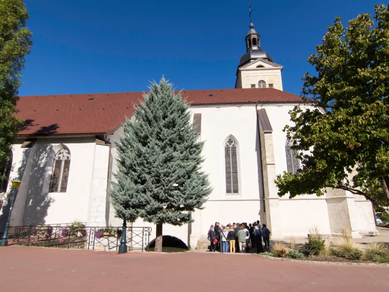
- Ugine: Ensemble Industriel Remarquable (remarkable industrial heritage ensemble) trail (a feature of the Pays d'Art et d'Histoire des Hautes Vallées de Savoie area); the museum at the Château de Crest Cherel
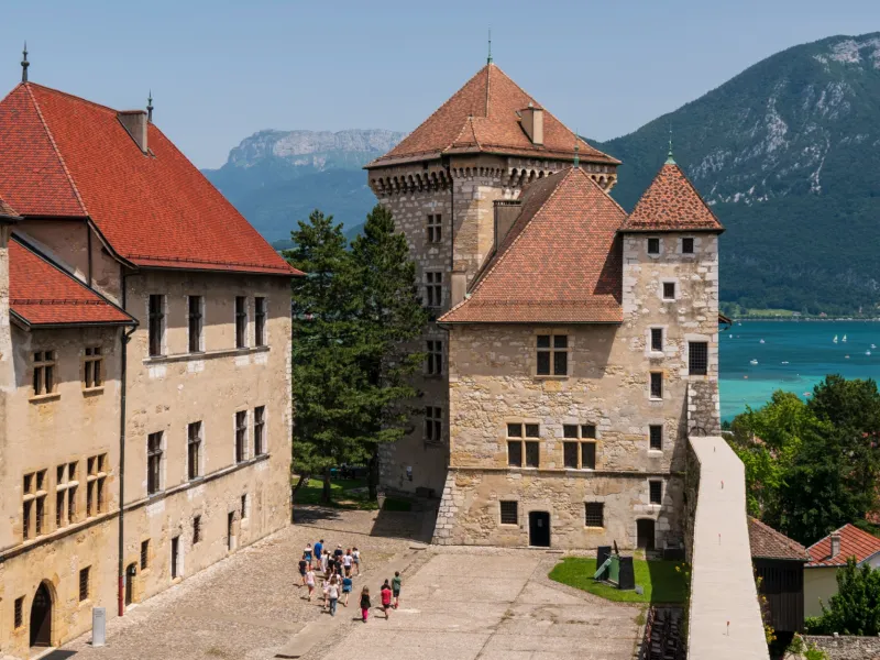
- Albertville: designated a Ville d'Art et d'Histoire thanks to its historical and cultural riches; the adjoining medieval village of Conflans, with its Musée d'Art et d'Histoire; the Musée Tremplin 92 Montagne & Olympisme (recalling the Winter Olympics held here).
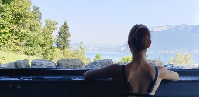
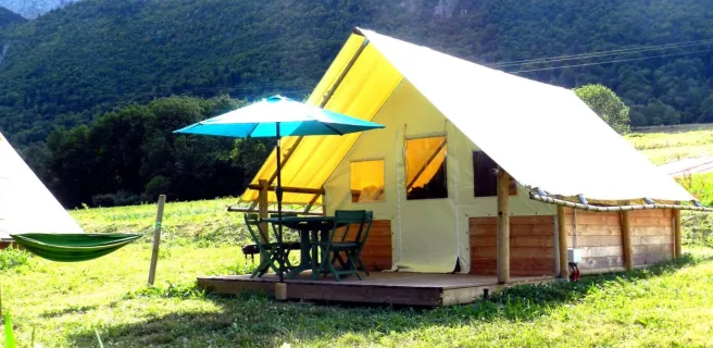
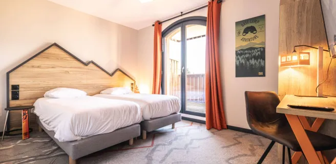
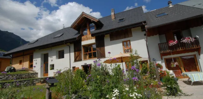
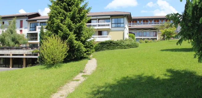
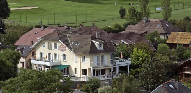
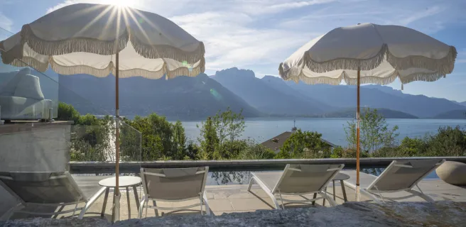
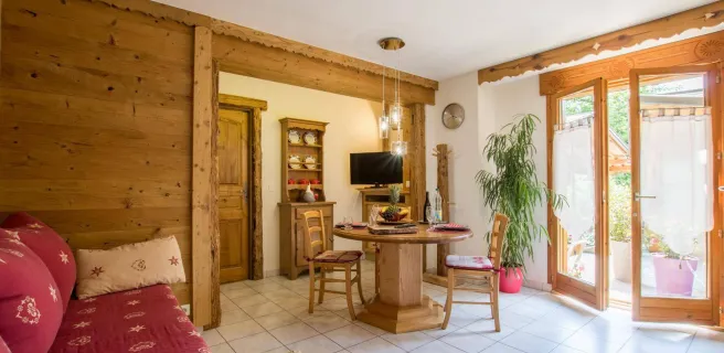
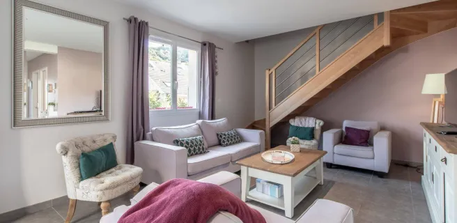
Find your accommodation on this stage
Trains and transport on the route
SNCF train services
- Annecy and Albertville stations