Roscoff to Concarneau - Cycle route 7 in Brittany
Morlaix / Scrignac
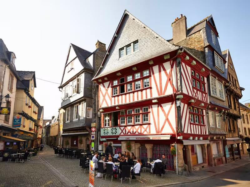
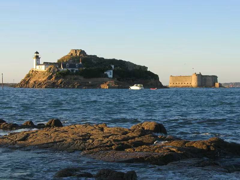
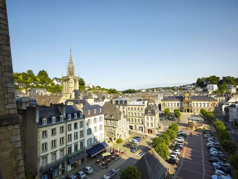
The seaside atmosphere slips into the background once the greenway reaches the upper part of town. From here on, this stage of La Vélodyssée moves into a dense forest setting, typical of the Monts d’Arrée.
Itinerary
A fair climb awaits up to the Morlaix greenway: a gentler section accessing the route is under construction. Be careful at the intersections, and remember that there are no shops on the greenway between Morlaix and Scrignac.
Connections
Small hilly routes to reach the parish grounds of Plougonven.
Small hilly routes to reach Scrignac and its shops.
Gradients and elevation
Ascents: 317m
Descents: 205m
Lowest point: 13m
Highest point: 228m
Slope breakdown
6km gentle descent (-5% to -1%)
10km flat (-1% to 2%)
5km climb (2% to 5%)
0.51km very hard climb (> 8%)
Road types
20km (94%) of cycle paths
1km (6%) of shared roads
- Cycle path
- Routes reserved for cyclists and pedestrians (greenways, cycle tracks, towpaths), separated from cars for maximum safety.
- Shared road
- Quiet minor roads with little traffic (unless otherwise stated in the stage details). Shared with cars (stay alert).
- Not specified
- Data unavailable or being assessed. Please refer to the detailed stage description.
- Provisional
- Section on a road or cycle path awaiting better-quality facilities (see stage details).
Surface
1km (6%) of smooth surface
20km (94%) of rough surface
- Smooth
- Asphalt, tarmac or smooth concrete. Optimal comfort.
- Rough
- Fine gravel, compacted stabilised surface or worn tarmac. Less comfortable, vibrations possible.
- Natural
- Dirt, grass, roots or stones. Under 5%: short sections with little impact. Higher percentage: route suited to mountain or gravel bikes only.
- Not specified
- Data unavailable or being assessed. Please refer to the detailed stage description.
*