Saint-Alyre-ès-Montagne / Chalinargues
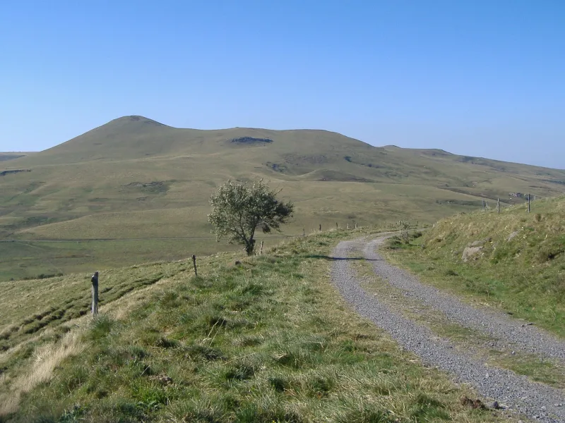
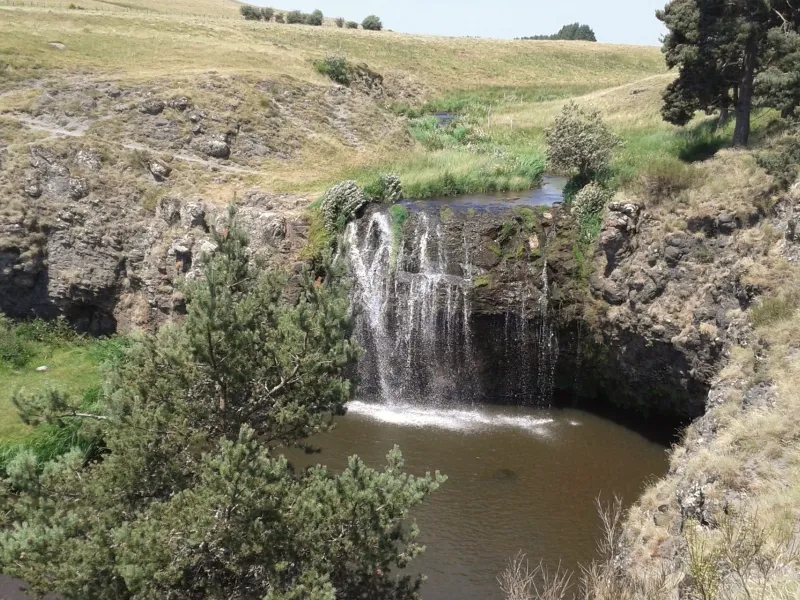
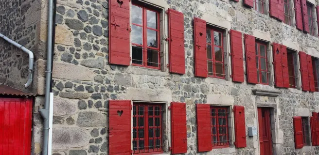
Leaving Jassy, the GTMC leads you up to the Col du Mont Chamaroux pass, then this pastoral track takes you to the summit of a plateau perched at 1,450m above sea level. From on high, admire the vast views of the Sancy Range and the volcanic French county of Cantal. Relish the wonderfully long descent that ensues, lasting 6km! As you reach the end of the route through the Cézallier, you enter the département of Cantal. After Pradiers and Les Veyrines Waterfall, it’s Allanche next. Leaving that village, a slope takes you up to La Pinatelle Wood. Riding along broad forest tracks, you soon reach Chalinargues.
Gradients and elevation
The route
After Jassy, the GTMC takes you to Boutaresse, followed by the Col du Mont Chamaroux. After this pass, you follow a track leading to the summit of a plateau perched at 1,450m above sea level. Take care in bad weather; also be careful not to disturb any herds! Enjoy the lovely 6km-descent that takes you down to the D39 road, then the village of Pradiers. Next, wide paths lead on to Romaniargues and La Mauve Wood, where you join the D679 road. After Les Veyrines Waterfall, cycle by road to reach Le Bac and Allanche. There follows a stretch along a disused section of railway line (a vélorail), before you ascend to La Pinatelle Plateau. Further wide, fairly smooth tracks take you on to Nuis, Mouret and Chalinargues.