Murol / Saint-Alyre-ès-Montagne
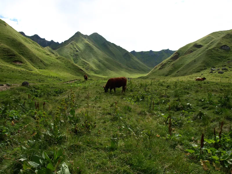
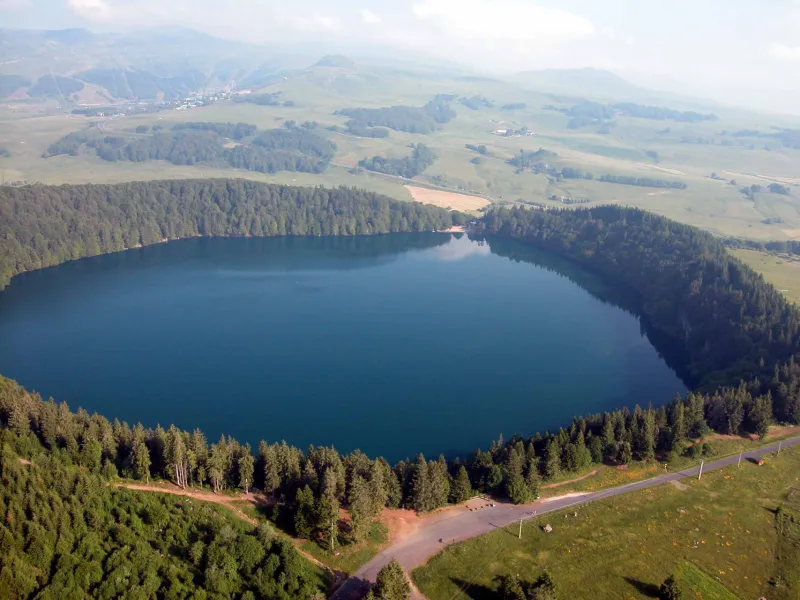
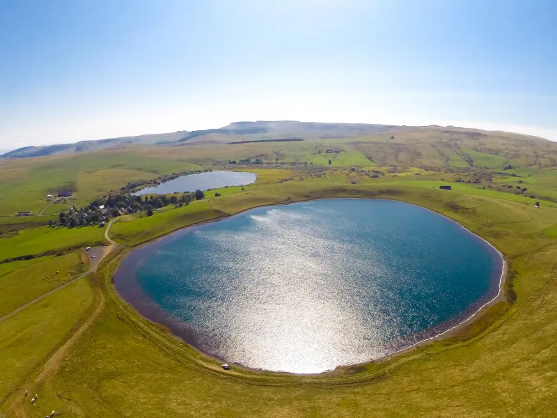
The views along this stage are magnificent, while the atmosphere changes dramatically along the way. After admiring the very beautiful medieval village of Besse, head on to the exceptional circular Pavin Lake, set in a volcano crater. Next comes Montcineyre Lake, a crescent-shaped volcanic lake. You’ve now entered the Cézallier area. Here, steep slopes are replaced by gentler, more rounded ones, the vast stretches of high summer pastures dotted with herds of cows. La Godivelle Nature Reserve preserves precious peat-bogs. Admire the Lacs d’En-Haut et d’En Bas before arriving at the hamlet of Jassy.
Gradients and elevation
The route
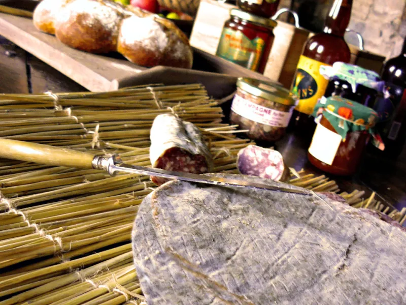
The GTMC route takes you via the end of Chambon Lake, bypassing the village of Murol, but you might stop there to stock up on provisions. You then cycle along quiet country roads and a stretch on a solid volcanic path, gradually taking you up to the spot known as Les Jassat. After Besse, the route is very smooth-rolling, alternating between good tracks and further country roads, allowing you to immerse yourself in the atmosphere.