Ruynes-en-Margeride / Chanaleilles
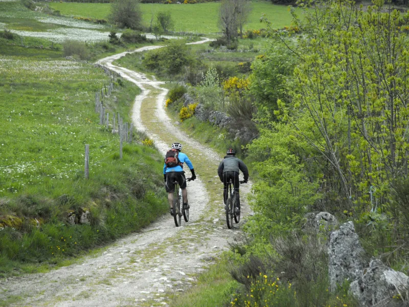
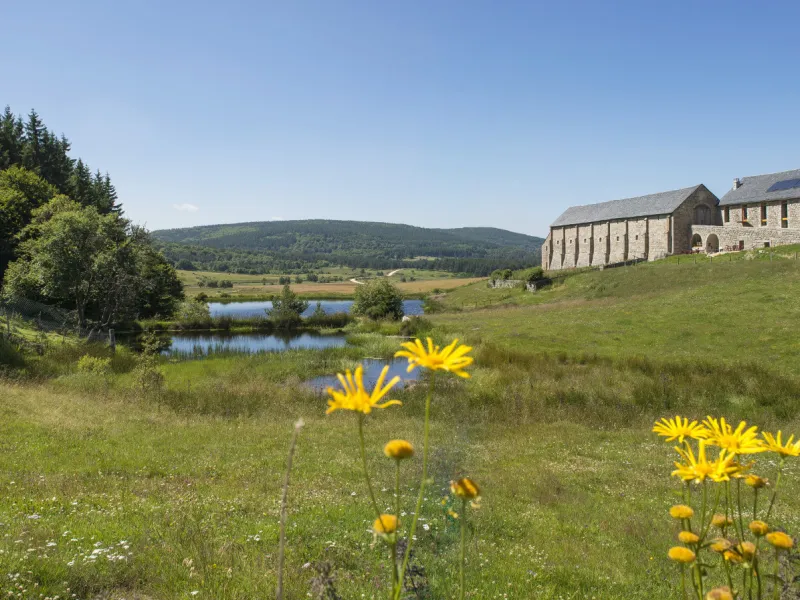
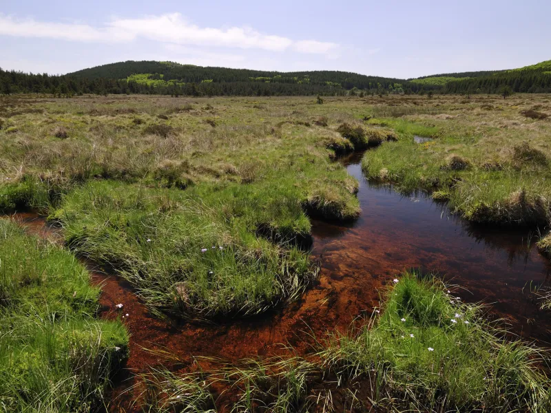
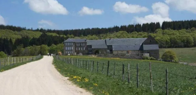
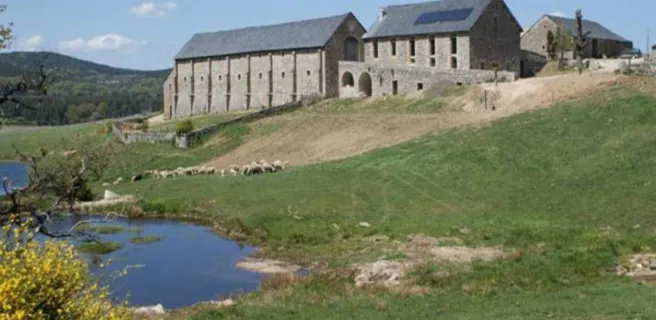
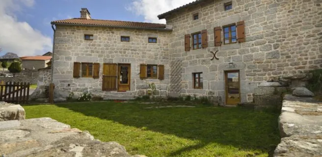
After Ruynes en Margeride, tackle the slopes up to Trailus. After that, you have to climb to the Col du Signal. The reward is a path along the crests that allows for more comfortable riding, leading you to the summit of Mont Mouchet (1,497m above sea level), renowned for its links with the French Resistance in World War II. You now enter the French county of Haute-Loire, descending to Paulhac en Margeride, in the next county of Lozère. The forest tracks cutting through these wooded, granite parts lead to the Domaine du Sauvage, a Knights Templar estate in medieval times and a significant stopping point on the Santiago de Compostela pilgrimage route.
Gradients and elevation
The route
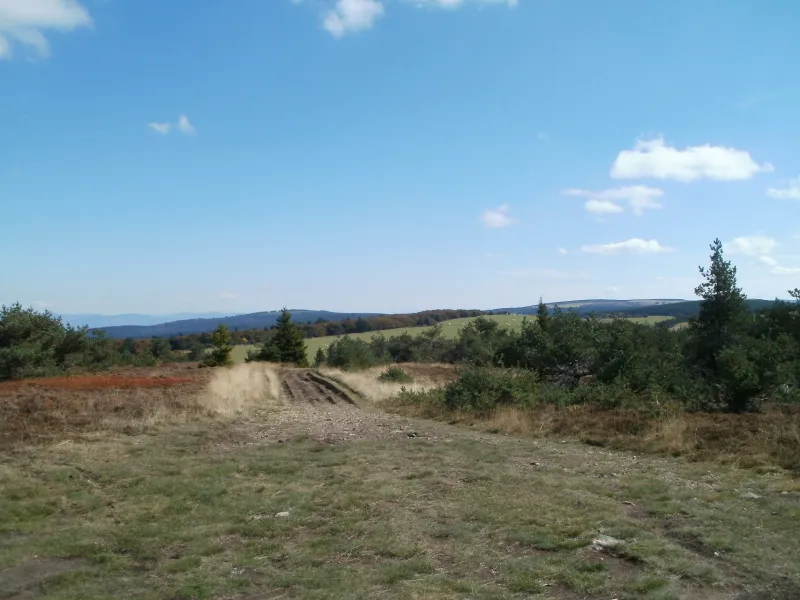
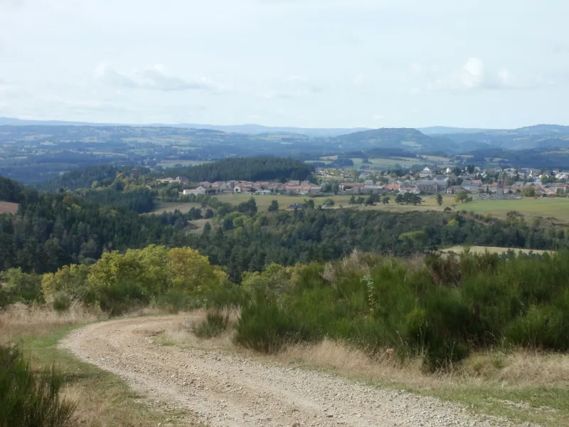
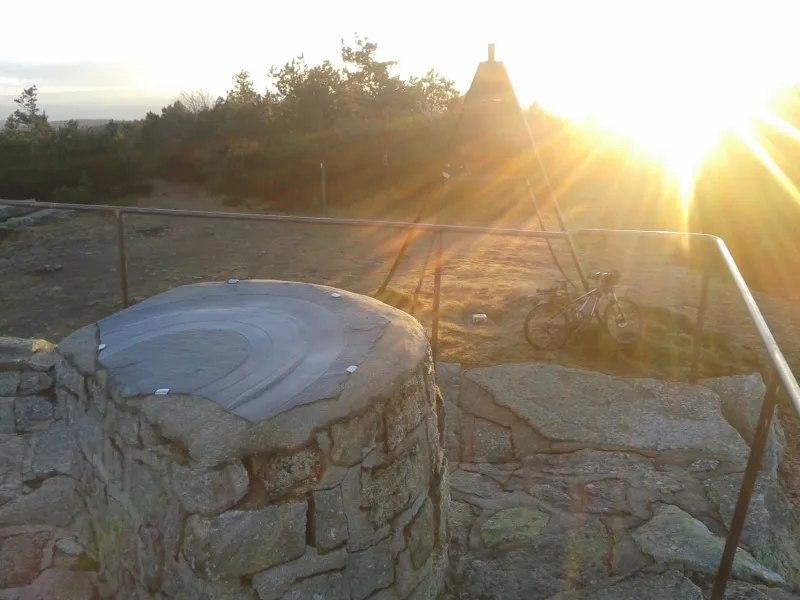
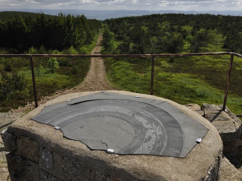
Leaving Ruynes, a steep ascent via forest tracks takes you up to the crests. Then the path is comfortable from the Col du Signal to La Croix de la Donne, with lovely views. You need to cycle along a short stretch of road to reach the Musée du Mont Mouchet. A smooth track leads to the summit of Mont Mouchet, alternating between forest and open spaces. At the top, there’s a viewing table. A swift descent and you reach Paulhac. Then broad tracks take you between pine woods and meadows to Chanaleilles. To continue to Chazeau, there’s a short stretch on a road that isn’t quite as flat as it seems. Finally, share the GR65 hiking trail through forests to reach the Domaine du Sauvage.