32,60 km cycling route from Metz to Pont-à-Mousson
Elevation of the stage
Waytypes of the stage
Surface of the stage
The route
South of Metz, the route follows the west bank of the Moselle, along a fine stretch free of any cars. On the explanatory panels in several spots, note how this stretch also goes by the name ‘Charles le Téméraire’. At Vaux, you enter the regional Parc Naturel de Lorraine. At the level of the road bridge at Moulins-lès-Metz, the route crosses the river onto the east bank – take care, as this spot can be dangerous; you must dismount and use the pavement to get across. The route continues along greenways, through forests and past lakes to Corny-sur-Moselle, where you cross the river again, getting back onto the west bank via a busy, narrow road bridge on the RD66. From Novéant-sur-Moselle, the route follows the Canal Latéral à la Moselle along a tarmacked greenway. At the level of the canal bridge (closed to the public), the route veers off to Arnaville along the RD912 and RD952 roads. Make sure here to get back on the cycle route, looking out for a left turn as you leave the village. Next, your way alternates between stretches of quiet roads and greenways up to Pagny-sur-Moselle, before joining the canal towpath, which is easy to ride along up to Pont-à-Mousson.
SNCF (French national railways network)
TER line Nancy <> Pont-à-Mousson <> Pagny-sur-Moselle <> Metz <> Hagondange <> Uckange > Thionville
Don't miss
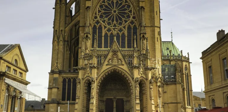
- Metz: historic city centre, cathedral, Centre Pompidou-Metz, Musée de la Cour d'Or, imperial district, train station, comedy district
- Jouy-aux-Arches: Roman aqueduct
- Fey (3km away): Pokeyland amusement park
- Ancy-Dornot: vineyard
- Novéant-sur-Moselle: Rochers de la Fraze
- Gorze (4 km away): abbey church


Travellers’ reviews