Canals & intimate rivers
41,26 Km
2 h 45 min
I cycle often
41,26 km cycling route from Ste-Maure-de-Touraine to Châtellerault
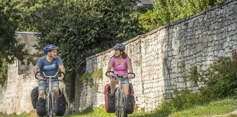
Here, following the Scandibérique brings you back beside a river, this time the Vienne, at Marcilly-sur-Vienne. This stage follows its west bank, offers views of lovely landscapes. Vaux-sur-Vienne, climbing the slope from the river, is a village in a lovely green setting from which to embark on walks. Finally, the town of Châtellerault comes into view. Before and after World War I, it was known for manufacturing Lebel guns; after the factory closed in 1968, it was subsequently transformed into an ice-skating rink and cultural space, a sign of peace for future generations.
Elevation of the stage
108 m 83 m
Waytypes of the stage
Cycle path: 2,33 km By road: 38,93 km
Surface of the stage
Smooth: 41,26 km
The route
Mainly on minor roads. Take care entering Châtellerault, with the round-abouts either side of the Henri IV Bridge. Signposting for the EV3 has been put in place through the county of Vienne.
Surfacing smooth: asphalt
Trains
- Sainte-Maure Noyant train station
- Maillé train station
- Les Ormes train station
- Ingrandes train station
- Châtellerault train station
Don’t miss
- Ste-Maure de Touraine: Boumiers neolithic dolmen; the château; the church; the remarkable covered market
- Maillé: Maison du Souvenir, recalling how German forces destroyed the village in 1944, after which it was reconstructed
- Draché: the neolithic menhir of La Pierre Percée
- Nouâtre: the remnants of the Château de la Motte
- Ingrandes-sur-Vienne: the church; the Domaine de la Groie, with the remnants of a medieval château
- Châtellerault: its heritage, including industrial


Travellers’ reviews