Alternative stage Barcelonnette / Saint-Etienne-de-Tinée
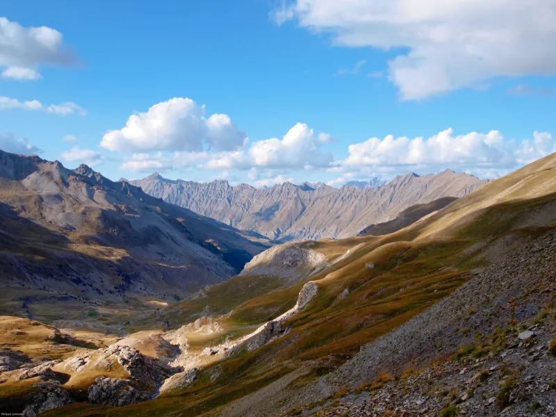
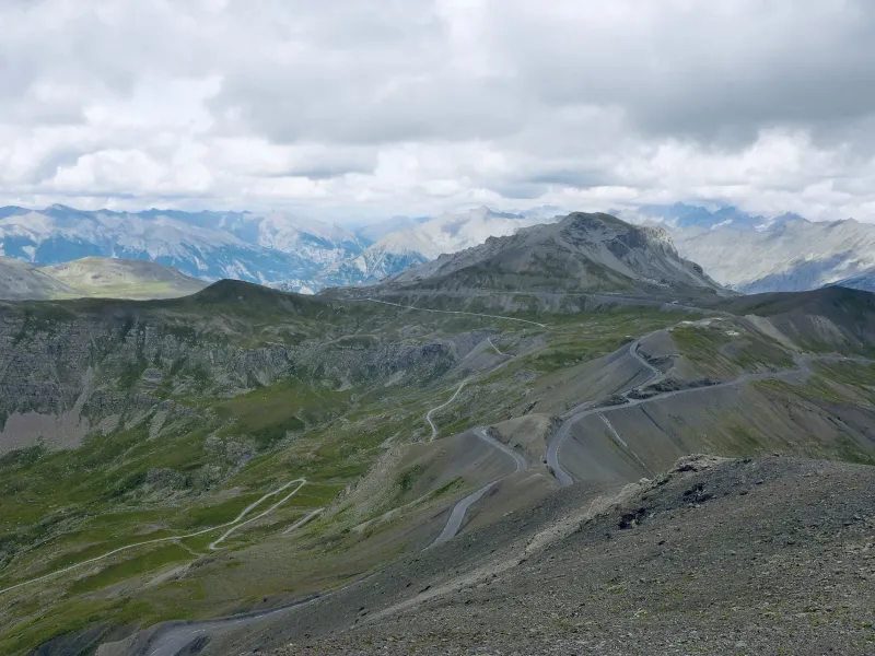
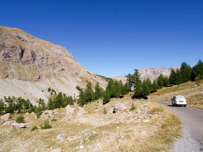
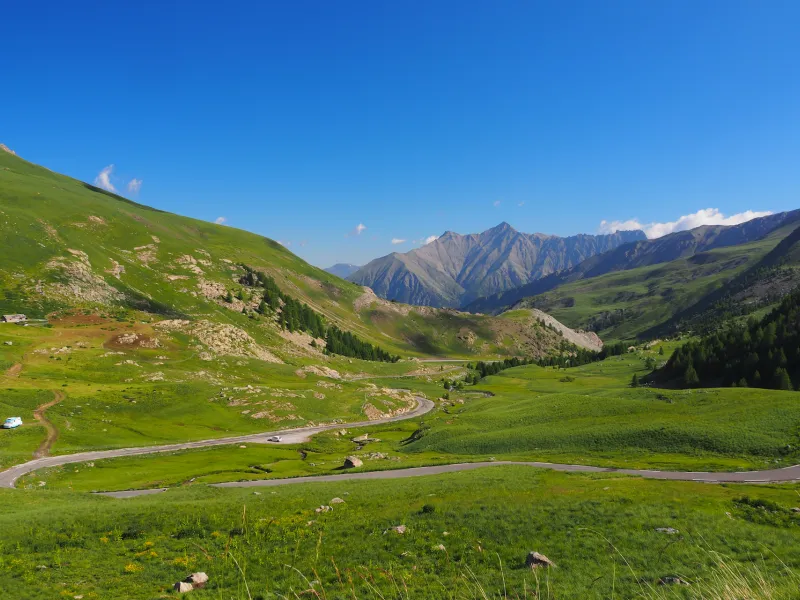
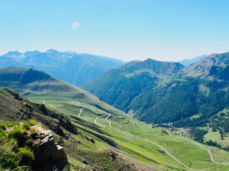
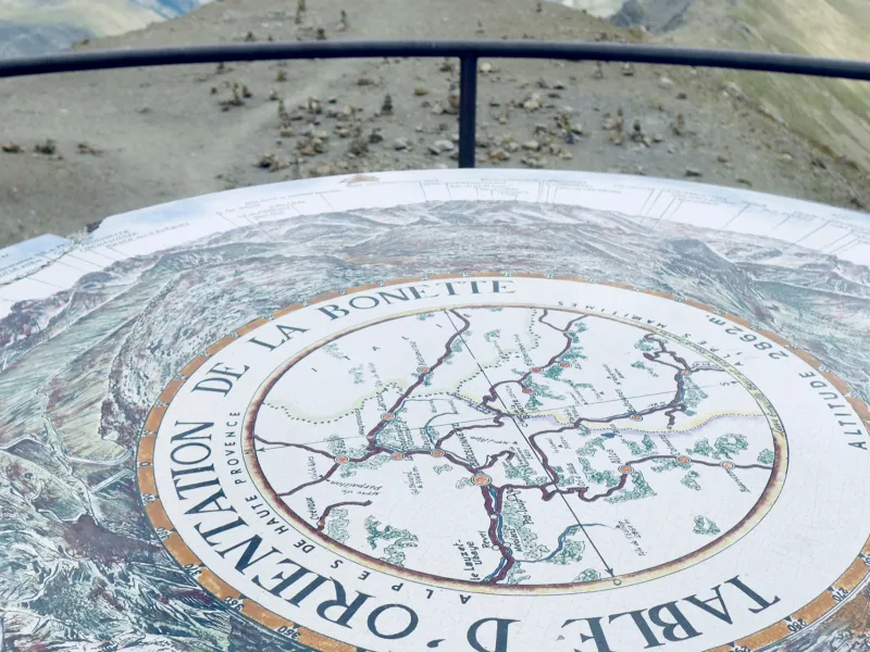
A lovely Route des Grandes Alpes® stage crossing the Mercantour National Park, sticking very close to the Italian border and linking Ubaye and Tinée Valleys via one of Europe’s highest roads. At the Col de la Bonette pass, you can take a short 2km tour, via a small road, to the Cime (or summit) de La Bonnette, enjoying the grandiose lunar landscapes around it. Do dismount to walk along the little track to the viewing table, offering unbeatable views of the great Italian frontier mountain, Monte Viso. On the stretch through the northern part of the Tinée Valley, discover its highest pretty villages.
From Barcelonnette to Saint-Etienne-de-Tinée via the Cime de la Bonette
Route North / South
↗ 1599m ↘ 1578m
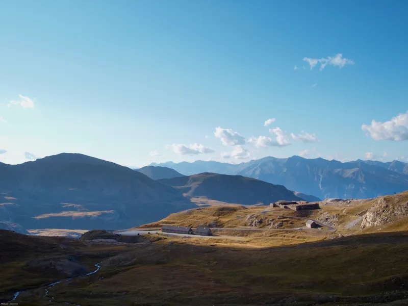
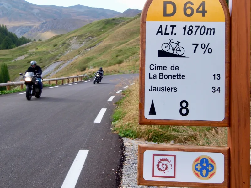
From Barcelonnette, it’s 9km to Jausiers; here, don’t continue on the road to the Col de Vars, but take the right-hand alternative road towards Nice via the Col de la Bonette pass. After 20km, you pass the false Col de Restefond pass (2680m), but the main pass, the Col de la Bonette (2715m), the highest in Provence, lies close by. There’s a very short loop you can take a little further to the very summit, the Cime de la Bonette (2802m), before you leave behind the Ubaye Valley, plunging into the Tinée Valley. Be aware that although this little loop is short, it’s very steep and remember you’re cycling at very high altitude. Finally, enjoy a long descent, although you need to cross the Col de Raspaillon pass (2513m) before continuing to Saint-Étienne de Tinée.
Route South / North
↗ 1578m ↘ 1599m
From Saint-Étienne-de-Tinée, start on a demanding 25km-long climb, involving a 1659m shift in altitude, leading to the Col de la Bonette pass (2715m) via the Col de Raspaillon pass (2513m). From the Col de la Bonnette, before switching from Tinée to Ubaye Valley, you can take on an additional short loop to the local summit, the Cime de la Bonette (2802m). Be aware that although this little additional circuit is short, it’s very steep and remember you’re cycling at very high altitude. Descend to Jausiers, then join the road to Barcelonnette, which you reach easily after 9km.
Gradients and elevation
Road types
Surface
Don’t miss
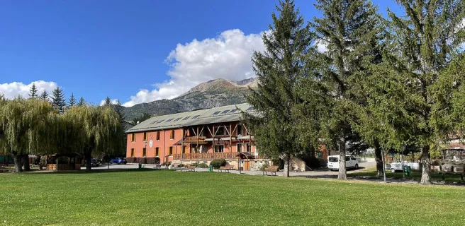
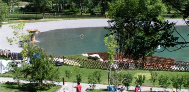
- Ubaye: Barcelonnette is the main settlement along a magnificent valley dotted with a dozen villages.
- Mercantour National Park: one of 11 French national parks and one of the most unspoilt – since 1992, wolves have crossed from Italy and settled in these parts. The park straddles the French counties of Alpes-Maritimes and Alpes-de-Haute-Provence and presents a very wide variety of landscapes, including Alpine mountains and Mediterranean touches.
- The Tinée Valley: between the Mercantour and the Mediterranean, the Tinée River has cut a path through steep cliffs topped by forests and mountain pastures. Some very picturesque villages have found a foothold in these wild natural surrounds.
- The Maginot Line: Along this section, defensive works went up to counter Italian fascist leader Mussolini, including those of Restefond, the Camp des Fourches, the Fort de Rimplas and the adjoining La Frassinéa.