Route des Grandes Alpes® by bike
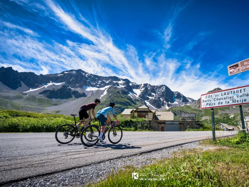
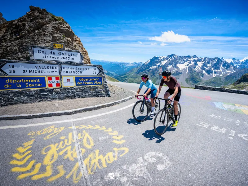
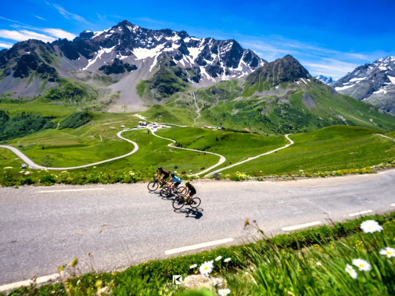
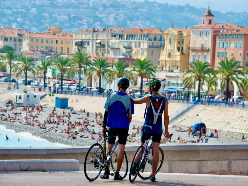
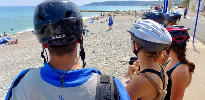
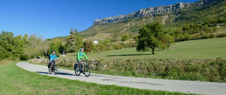
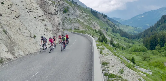
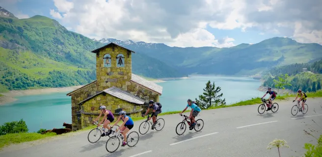
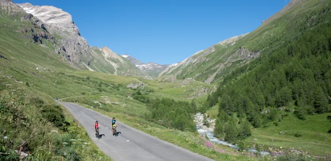
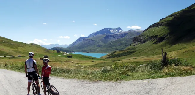
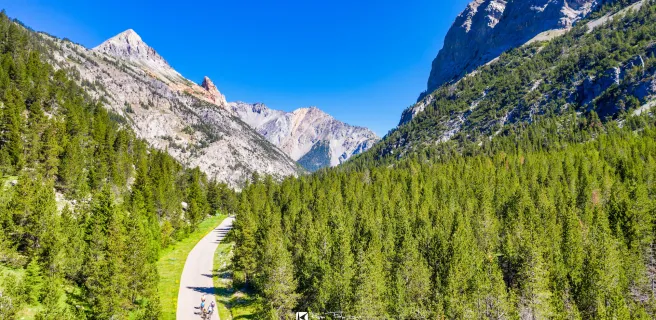
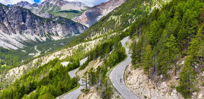
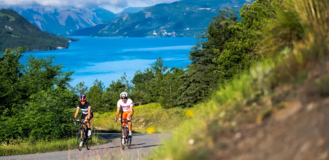
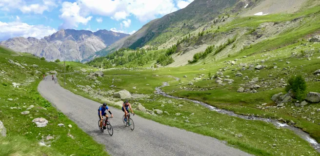
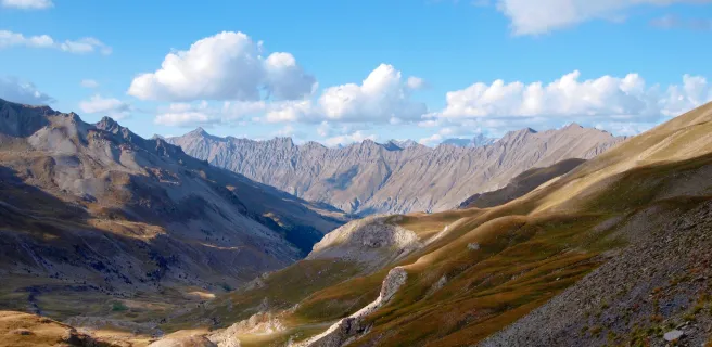
Route des Grandes Alpes® à vélo is a fantastic cycling trip through the French Alps from Lake Geneva to the Mediterranean sea. Passing through the most beautiful and highest passes of the Alps, this itinerary of more than 700 km takes mythical roads through the Alpine massifs. This demanding route with a significant difference in altitude follows the tourist route of the Grande Alpes with several possible variants from North to South (or the reverse). This adventure can also be undertaken on a bike, with numerous recharging stations along the way.
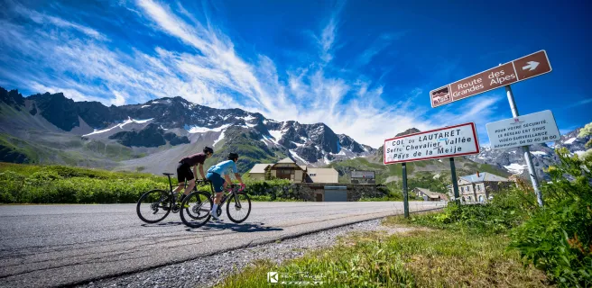
Route des Grandes Alpes® signposting
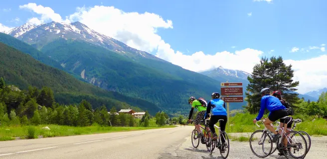
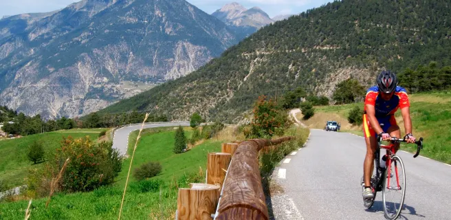
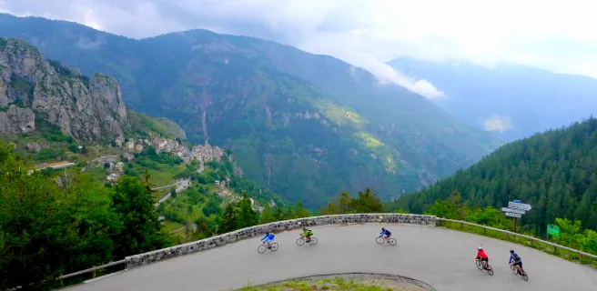
Designed primarily for motorised traffic, the route has two-way tourist road signs (Route des Grandes Alpes) along the 720 km of its main route. The variants are not signposted (remember to download the .GPX tracks).
Difficulty of the route
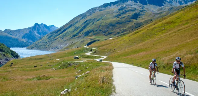
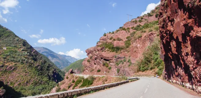
The route has a significant difference in altitude, about 17,000 m of positive altitude difference on the main route. You will be riding on mountain roads where traffic can be heavy in some places during the summer months. The use of an EV can facilitate your progress, but you must nevertheless be used to travelling by bike.
Weather and opening of passes
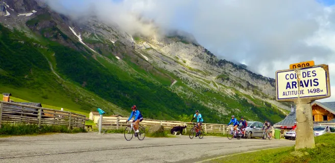
Remember to find out about the weather and the opening of the passes before you leave.
Gradients and elevation
Road types
Surface
Trains and transport on the route
Getting to the route by train
The route passes 15 railway stations along the way. At the start, you can reach the station of Thonon-les-Bains by TER from Lyon for example.
View infrastructure on the map
Reviews for Route des Grandes Alpes® by bike
"Accueil Vélo" accommodation on Route des Grandes Alpes® by bike
253 Accueil Vélo accommodations await you on Route des Grandes Alpes® by bike!
View accommodations on the map
Découvrez également


P'tites Routes du Soleil
The 27 stages of Route des Grandes Alpes® by bike
1 Thonon-les-Bains / Morzine-Avoriaz
2 Morzine-Avoriaz / Cluses
3 Cluses / Le Grand-Bornand
4 Le Grand-Bornand / Beaufort-sur-Doron
5 Alternative stage Le Grand-Bornand / Lescheraines
6 Alternative stage Lescheraines / Beaufort-sur-Doron
7 Beaufort-sur-Doron / Bourg-Saint-Maurice
8 Bourg-Saint-Maurice / Val d'Isère
9 Alternative stage Bourg-Saint-Maurice / Saint-François-Longchamp
10 Alternative stage Saint-François-Longchamp / Valloire
11 Val d'Isère / Val-Cenis
12 Val Cenis / Valloire
13 Alternative stage Val-Cenis / Oulx
14 Alternative stage Oulx / Briançon
15 Valloire / Briançon
16 Alternative stage Val-Cenis / Saint-Jean-d'Arves
17 Alternative stage Saint-Jean-d'Arves / L'Alpe d'Huez
18 Alternative stage L'Alpe d'Huez / Briançon
19 Briançon / Guillestre
20 Guillestre / Barcelonnette
21 Alternative stage Guillestre / Barcelonnette
22 Barcelonnette / Valberg
23 Alternative stage Barcelonnette / Saint-Etienne-de-Tinée
24 Alternative stage Saint-Etienne-de-Tinée / Saint-Martin Vésubie
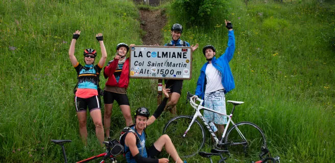
25 Valberg / Saint-Martin Vésubie
26 Saint-Martin Vésubie / Sospel