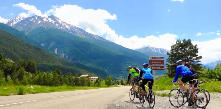
57,32 km cycling route from Val Cenis to Valloire
Elevation of the stage
Waytypes of the stage
Surface of the stage
From Val Cenis to Valloire via the Col du Télégraphe
Route North / South
↗ 1154m ↘ 973m
Some 20km of gentle descent take you from Val-Cenis to Modane. The classic way crosses Termignon, Sollières-Sardières, Bramans and Villarodin, with views of the staggering stepped fortifications of the Barrière de l’Esseillon, built to defend the Kingdom of Piedmont-Sardinia in the early 19th century. The second, quieter option goes via Aussois. At Modane, the two ways join up and you continue, still descending, to Saint-Michel-de-Maurienne. Then you come to the first slopes up to the Col du Télégraphe pass (1566m). Twelve km higher up, after an 851m shift in altitude, you reach the summit. Finally, in under 5km of descent, you arrive at the aptly named Valloire-Galibier.
Route South / North
↗ 973m ↘ 1154m
From Valloire-Galibier, there’s a 5km climb, involving a gradient of 3.5%, taking you to the summit of the Col du Télégraphe pass (1566m). Then, after a 12km descent with an 851m negative shift in altitude, you reach Saint-Michel-de-Maurienne. For the last 20km to Val-Cenis, you have two options. The classic way takes you through Villarodin, Bramans, Sollières-Sardières and Termignon, allowing you to take in views of the stepped fortifications of the Barrière de l’Esseillon. The second, less busy way, goes via Aussois.
Don’t miss
- Haute-Maurienne Vanoise: this area, on the edge of the Vanoise National Park, includes six resorts: Aussois, Bessans, Bonneval-sur-Arc, La Norma, Val Cenis and Valfréjus, plus the little town of Modane. All told, it offers a concentrated selection of what such mountain areas can offer by way of things to see and do!
- Valloire-Galibier: a big resort in the Maurienne and a very beautiful, extended high-altitude village, made up of 17 hamlets spread out along the road to the Col du Galibier, gateway to the southern French Alps.
- The Maurienne Valley: boasts of being the largest mountain cycling area in the world.
- The Barrière de l’Esseillon: consisting of five stepped forts, located in the parishes of Aussois and Avrieux, built on rocky promontories, constructed to protect the Kingdom of Piedmont-Sardinia from French invasion after the Napoleonic period.
- The Fort du Télégraphe: built between 1885 and 1893, on the site of a former Chappe aerial telegraph relay station on the imperial Paris-Milan line. It’s just a ten minute walk from the car park at the Col du Télégraphe and affords unbeatable views down the great valley.


Travellers’ reviews