Grandris / Col de la Croix de l'Orme
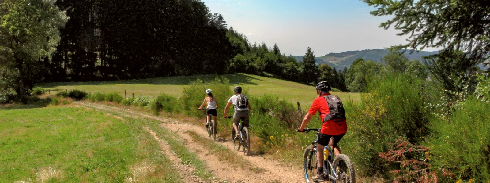
You'll discover the green Beaujolais on trails surrounded by douglas firs, the tall pines that populate the region, before crossing the Grandes Mollières and climbing up to their eponymous "Seuil". On the way back down, Lac des Sapins gradually takes shape in front of you. After enjoying this haven of nature, head for the Col de la Croix de l'Orme via an ascent through the beautiful Saint-Appolinaire forest.
The cycle route
A demanding stage of the Grande Traversée du Rhône VTT, with two tough climbs. At the start, the first ascent from Grandris to Seuil des Mollières (5 km / 400 m D+) is followed by a descent with some technical sections to Lac des Sapins. From here begins the second ascent to the Col de la Croix de l'Orme (6.5 km / 400 m D+) with a first section through vineyards and fields and a second through forest.
Points to watch :
- Crossing with the route de Thizy at the end of the chemin des Écoliers
- Technical descent from Le Pommerel to Lac des Sapins
- Crossing with D54 at Col de la Croix de l'Orme
Gradients and elevation
Don't miss
- Washhouse and calvary (Saint-Appolinaire)
- Château de la Valsonnière (Saint-Just-d'Avray)
- Barthélemy Thimonnier Museum (Amplepuis)
- Bois des Mollières
- Lac des Sapins (ecological swimming, water sports center)
- Beaujolais Vert mountain biking site
Find your accommodation on this stage
Trains and transport on the route
Trains and stations
- Amplepuis station (6 km from Ronno): direct lines to Lyon (54 min.) and Roanne (27 min.).