Col de la Croix de l'Orme / Oingt
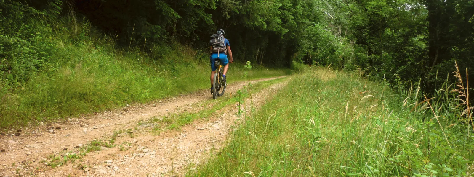
From the forest of Saint-Just-d'Avray to the first villages of the Pierres dorées, the route offers a succession of forest atmospheres, vast horizons after the Croix de Chal, and beautiful views of the Monts d'Or and the Matagrin tower. Fast descents on trails, peaceful forest paths in the rich Brou Massif and physical climbs in southern Beaujolais make up the adventure terrain of this stage of the Grande Traversée du Rhône VTT.
The cycle route
From the Col de la Croix de l'Orme, a short climb takes you to the Col de la Croix de Chal, the highest point of the stage at 860m. This is the start of a long descent (9 km / 450 m D-) to the ruisseau de la Dième, where you rejoin the D106 for 1 km. Cross the ruisseau de Brou and head upstream, then leave the forest to pedal on paths through the vineyards to Oingt, the finishing village.
Points to watch:
- Crossing the D54 at Col de la Croix de l'Orme
- Crossing the D31
Gradients and elevation
Don't miss
- Chapel of Saint-Laurent-d'Oingt
- View from Col de la Croix de l'Orme
- Brou forest
- Old town of Ternand
- Museum of the History of Winegrowing in Beaujolais, Ternand
- Museum of Mechanical Music, Oingt