Porto / Vergio
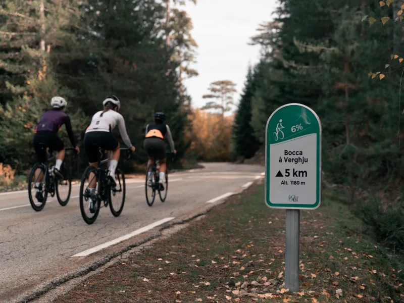
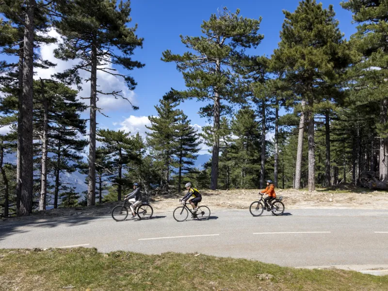
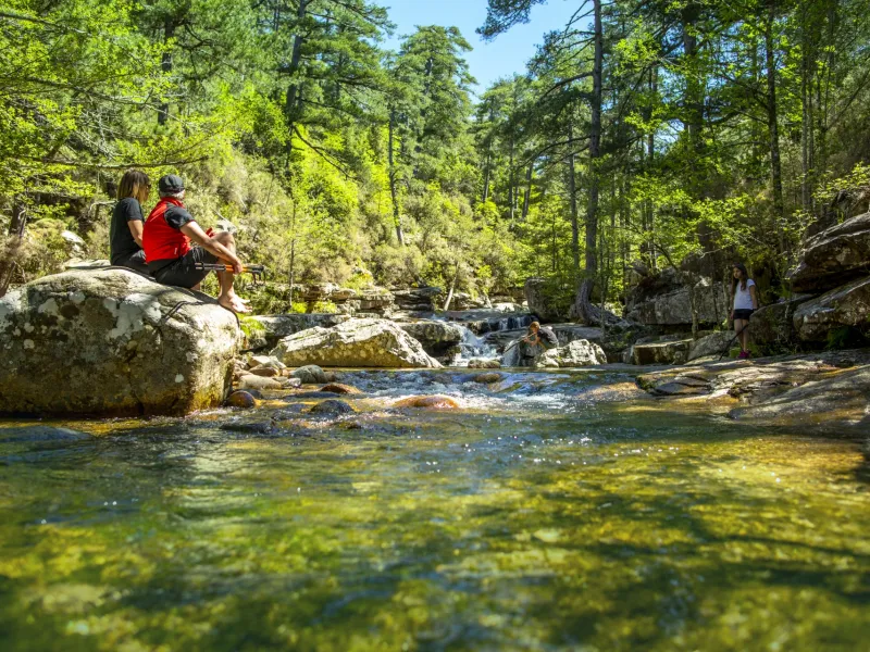
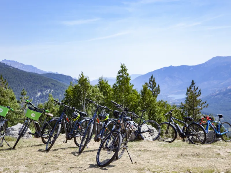
Marking the half-way point on your Corsican cycling adventure, this seventh stage guides you from Portu to Bocca di Verghju and the highest road pass on the whole island. Cycling up from the coast, prepare for a practically unbroken 34km-long climb, through the Spelunca Gorges, the Evisa chestnut forests, past laricio (or Corsican) pines and beside Aïtone’s natural pools. This way provides an unforgettable trip through the unspoilt mountains of inland Corsica. An unrelenting climb it may be, but it plunges you deep into the heart of the rugged island. At the summit, a statue of Christ the King stands at the crossing where the north-south GR20 hiking path meets the east-west Mare à Mare Nord hiking trail.
The Route
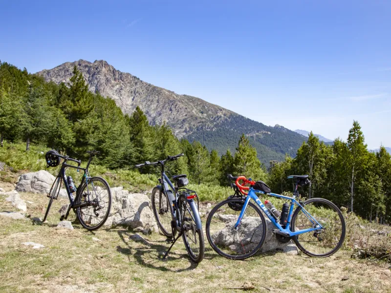
On this stage, you have to tackle 1,486m of cumulative positive elevation, with an average gradient of 4%. On the first 10km of climbing, you leave the sea behind you as you enter inland Corsica. This stretch takes you up cliff-sides, at each turn offering you a view of the next hairpin bend above. Then there follow 7km on the flat, before you take on the next climb, to Evisa. The steep way, crossing this village, reaches a maximum gradient of 8%. Next, your ascent continues through the refreshing shade of Aïtone Forest. The climb gets steeper once again along the final 10km, as you arrive at the Niolu area via the highest point on the stage, the Bocca di Verghju pass. The reward for reaching this height is staggering views over the Niolo Valley and up to Corsica’s highest peaks, Monte Cintu (2,706m) and Paglia Orba (2,525m).
Gradients and elevation
Road types
Surface
Don't miss
- Porto (Portu): the port; the Tour Génoise (a Genoese tower); the Portu Gulf and Calanche de Piana
- Evisa: a paradise for hikers, going along the edge of the Aïtone Forest, surrounded by chestnut woods, and at the entrance to the Spelunca Gorges
- Vergio (Verghju): at the crossroads of two iconic Corsican hiking trails, the north-south GR20 and the east-west Mare à Mare Nord
Find your accommodation on this stage
Trains and transport on the route
CFC (Corsican train services and stations)
- No train stations along this stage