arrow_back
Régnié-Durette / Le Perréon Grande Traversée du Rhône by mountain bike
In the vineyards
17,41 Km
1 h 09 min
I cycle a lot

17,41 km cycling route from Régnié-Durette to Le Perréon
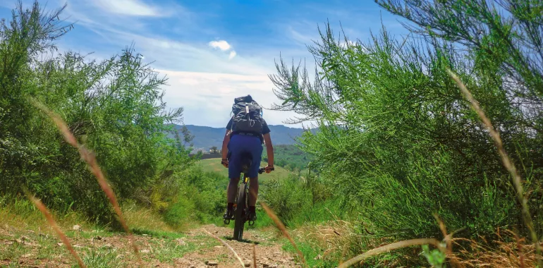
The mountain bike route continues through the vineyards, and once you've reached Saint-Lager, you'll gain altitude to take in Mont Brouilly and its wine-growing hillsides. Then it's on steep, steady trails that you'll climb over the Beaujolais moors, before descending to Le Perréon, the finishing village of the stage.
Elevation of the stage
495 m 490 m
The cycle route
From Régnié-Durette, a fairly rolling GTR MTB route that progresses mainly on paths (11.3 km) with a few sections on trails (2.5 km), again through vineyards.
Some technical sections on the climb after Brouilly.
Don't miss
- Château de la Pierre (late 17th century), listed as a historic monument
- Château de la Palud
- Château de la Chaize Mont Brouilly (panoramic view of the Saône, Bresse and Dombes valleys)
- Notre-Dame-aux-Raisins chapel
See & know
- Church with two steeples (Régnié-Durette)
- Church of Le Perréon
- Régnié-Durette (beautiful stone buildings)
- Domaine de la Grange Charton (traditional winegrower's dwelling)
- View of the Saône plain and the Alps (from the church esplanade)
- Château des Loges
Travellers’ reviews