Grande Traversée TransVerdon by mountain bike
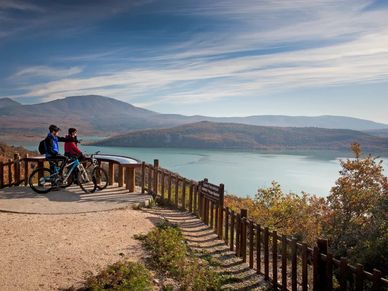
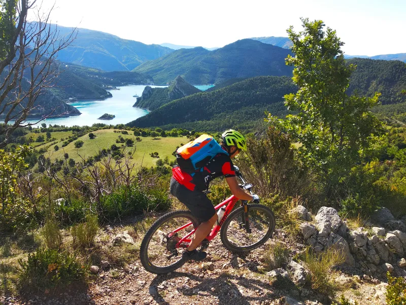
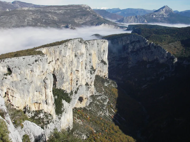
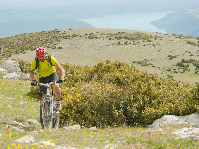
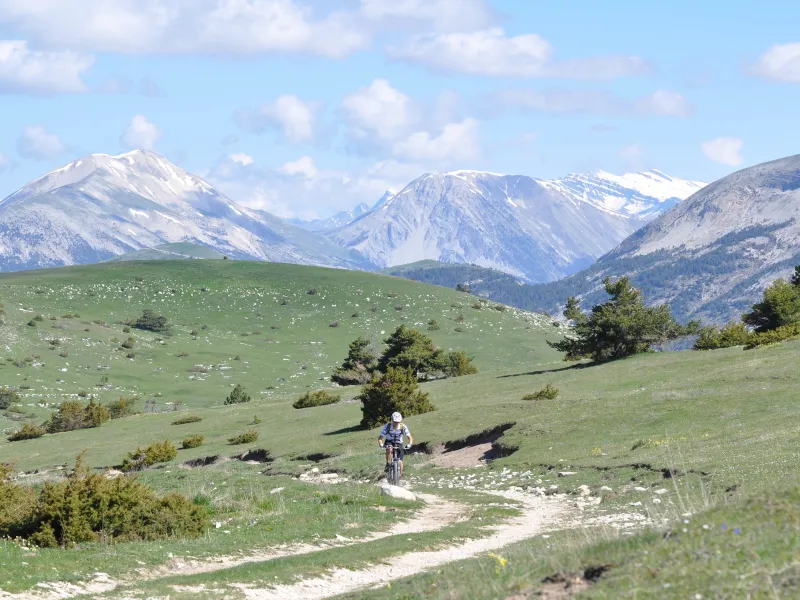
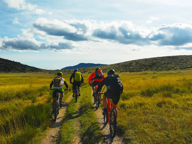
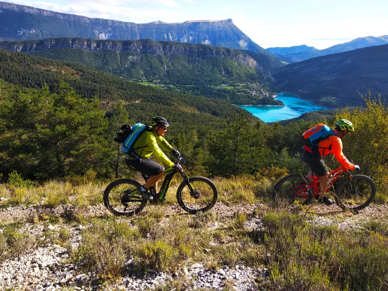
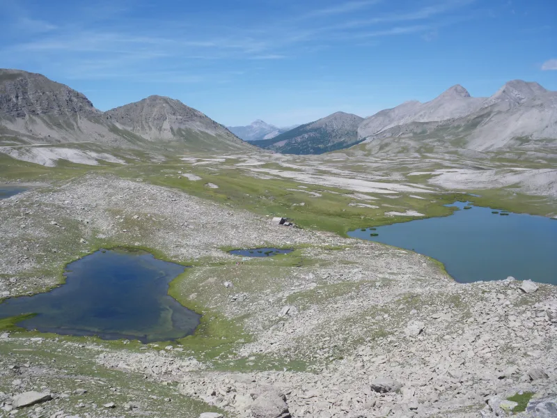
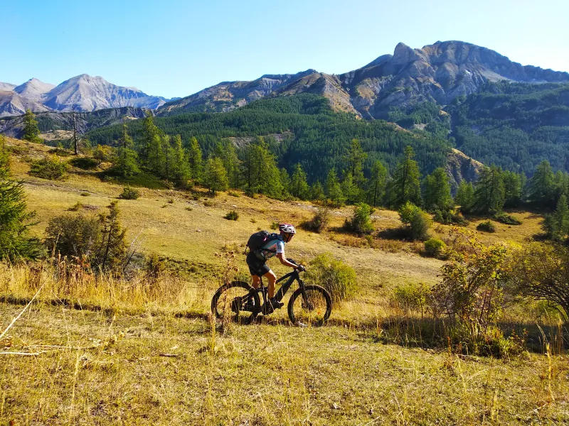
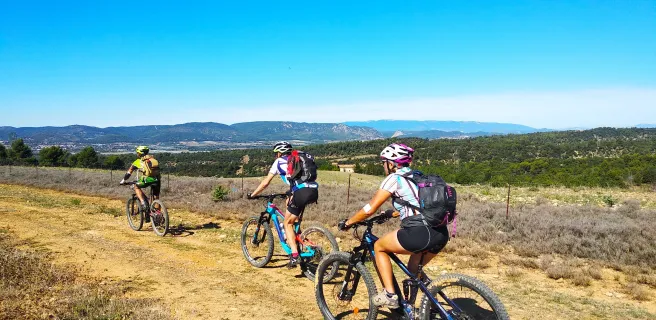
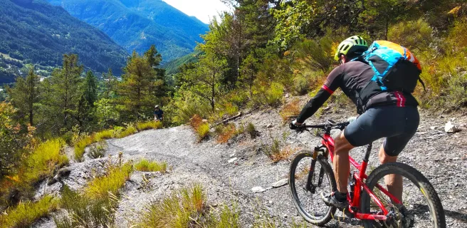
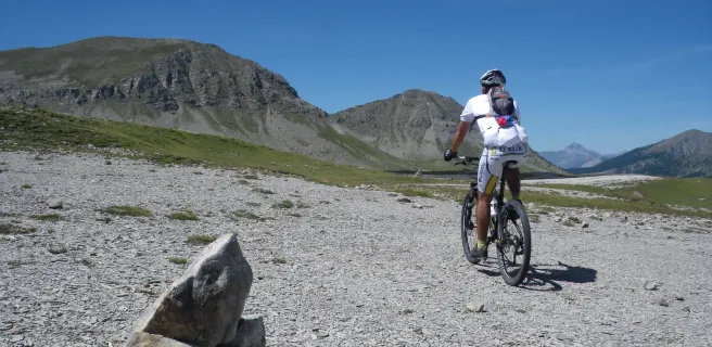
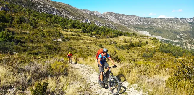
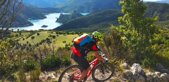
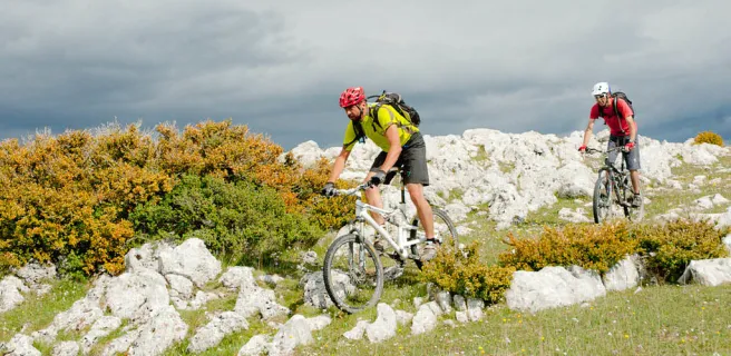
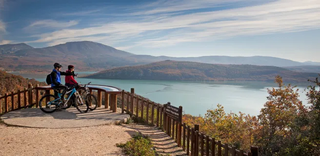
The TransVerdon is an exceptional mountain-biking route along the iconic Verdon Valley, crossing a wide variety of landscapes. The river, famed for its huge gorges, rises between the Col d'Allos pass and the Pic des Trois-Évêchés summit in France’s Southern Alps. It runs for 166.5km before joining the Durance River near Vinon-sur-Verdon. As to this sporting cycling trail, 260km in length, it starts in the heart of the Parc Naturel Régional du Mercantour, where the Verdon springs up, shaded by larches. It ends under holm oaks in the lower gorges, having taken you via mountains, gorges, lakes and plateaux. The stages, between 30km and 50km in length, are especially demanding, shifts in altitude sometimes exceeding 1600 m. You might split the longer stages in two and make use of an organization to arrange luggage transfer and the like. This is a mountain-bike trail geared to the most seasoned of cyclists.
A mountain-biking route through high mountains and the Verdon Gorges
Some key facts about the Grande Traversée TransVerdon VTT:
- Distance: 260km
- Positive shift in altitude: 7 366m
- Negative shift in altitude: 9 129m
- Maximum altitude: 2 472m
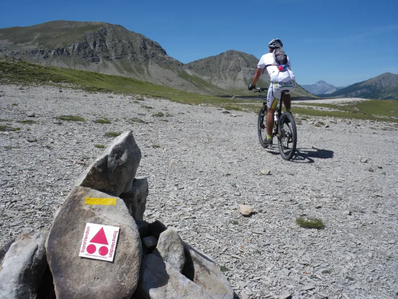
- Signposting: route 100% signposted
Level of difficulty of the route
The route runs through several mountainous zones, presenting cyclists with some technically challenging stretches, in parts requiring a sustained, high level of skill, as well as steep shifts in altitude. It is geared to seasoned mountain bikers used to tackling such terrain.
What type of equipment do you need?
- As its name indicates, this route is all-terrain and demanding, requiring a good level of experience, so it necessitates a mountain bike!
- Luggage and equipment: bear in mind that you will have to push, or even carry, your bike at times, and that very significant shifts in altitude are involved. Light, suitably adapted equipment is necessary.
When to go?
The two ideal times to tackle the route are before or after summer, avoiding the worst of the heat, so in spring, from March-April up to June, and then as autumn begins, from September through October.
Gradients and elevation
Trains and transport on the route
How to reach the starting point?
- Bus Marseille / Barcelonnette - line LER 28: the number of bikes the buses can carry is limited / price per bike at time of writing – €6. Consult the timetables
- Bus Barcelonnette / Larche - line L5: there is no guarantee there will be space for bikes on this line, and you have to dismantle your bike for it to be taken. See details
- Then it’s possible to climb by road up to the Col d'Allos pass (you can spend the night in the mountain refuge at the Col d'Allos). There’s also a number of private transport company that can get you to your destination and transport your luggage.
View infrastructure on the map
Reviews for Grande Traversée TransVerdon by mountain bike
"Accueil Vélo" accommodation on Grande Traversée TransVerdon by mountain bike
12 Accueil Vélo accommodations await you on Grande Traversée TransVerdon by mountain bike!
The 7 stages of Grande Traversée TransVerdon by mountain bike
1 Col d'Allos / Colmars
2 Colmars / La Colle Saint-Michel
3 La Colle Saint-Michel / Saint-André-les-Alpes
4 Saint-André-les-Alpes / Rougon
5 Rougon / Moustiers-Sainte-Marie
6 Moustiers-Sainte-Marie / Quinson