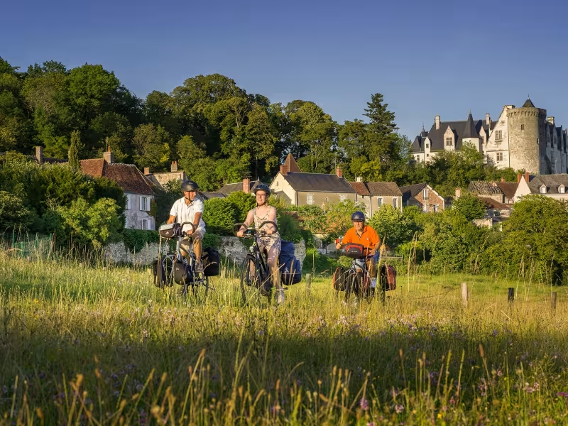
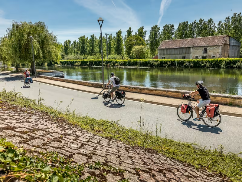
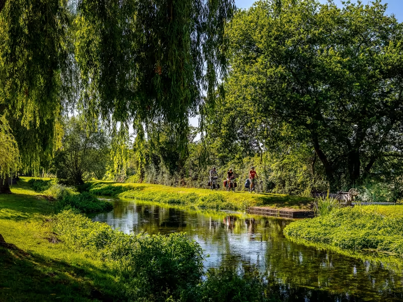
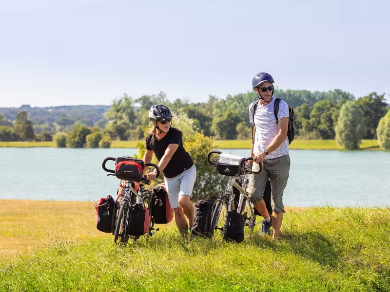
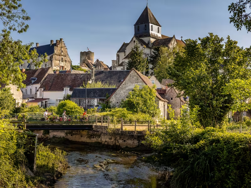
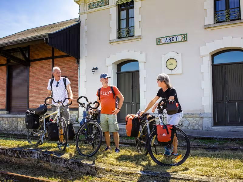
The route keeps close to the Indre after Châtillon-sur-Indre, allowing you to wander peacefully along roads lined with a mix of fields and the occasional forest. Midway along this stage, stop to admire Palluau-sur-Indre and its château perched on a rocky promontory, offering splendid views down on the Indre Valley. Back on your bike, it’s not too long a ride to reach the town of Buzançais.
The route
Signposted route on county and smaller country roads.
Connection :
Just before the entrance to Buzançais, there’s a link you can join to take you to Argy, with its tourist train, going via the D64 and D63 roads.
Gradients and elevation
Ascents: 263m
Descents: 241m
Lowest point: 90m
Highest point: 195m
Slope breakdown
7km gentle descent (-5% to -1%)
17km flat (-1% to 2%)
4km climb (2% to 5%)
0.51km hard climb (5% to 8%)
Road types
29km (100%) of shared roads
- Cycle path
- Routes reserved for cyclists and pedestrians (greenways, cycle tracks, towpaths), separated from cars for maximum safety.
- Shared road
- Quiet minor roads with little traffic (unless otherwise stated in the stage details). Shared with cars (stay alert).
- Not specified
- Data unavailable or being assessed. Please refer to the detailed stage description.
- Provisional
- Section on a road or cycle path awaiting better-quality facilities (see stage details).
Surface
29km (100%) of undetermined surface
- Smooth
- Asphalt, tarmac or smooth concrete. Optimal comfort.
- Rough
- Fine gravel, compacted stabilised surface or worn tarmac. Less comfortable, vibrations possible.
- Natural
- Dirt, grass, roots or stones. Under 5%: short sections with little impact. Higher percentage: route suited to mountain or gravel bikes only.
- Not specified
- Data unavailable or being assessed. Please refer to the detailed stage description.