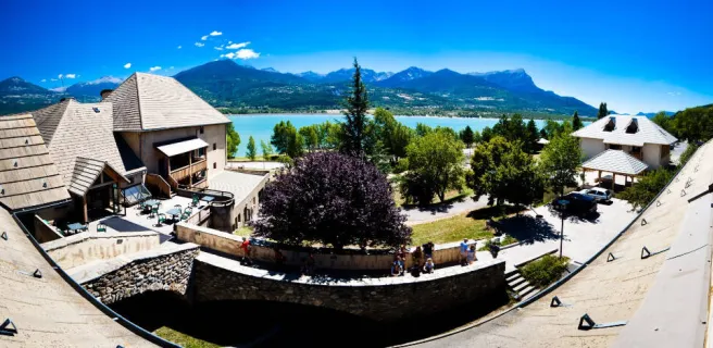
Embrun / Chorges

Leaving Embrun and the banks of Serre-Ponçon Lake behind, a long steady climb takes you along the Route des Puys, to parts that seems lost in time, they’re so remote and quiet. You wend your way along the mountainside between Alpine pastures and spectacular viewing points down on the sparkling Serre-Ponçon Lake. In the usually crisp light, with each turn, a new panorama opens up, towards the peaks of the Morgon Mountain, or the Parpaillon Range, or the great geological folds of the Réallon. Having tackled this stage’s first steep stretches, the rest of the way proves less demanding. Cycling is pleasant through the wild Réallon Valley, then comes a heady descent to Chorges, a little town set below dramatic peaks and rocks sculpted by nature into curious shapes.
The route
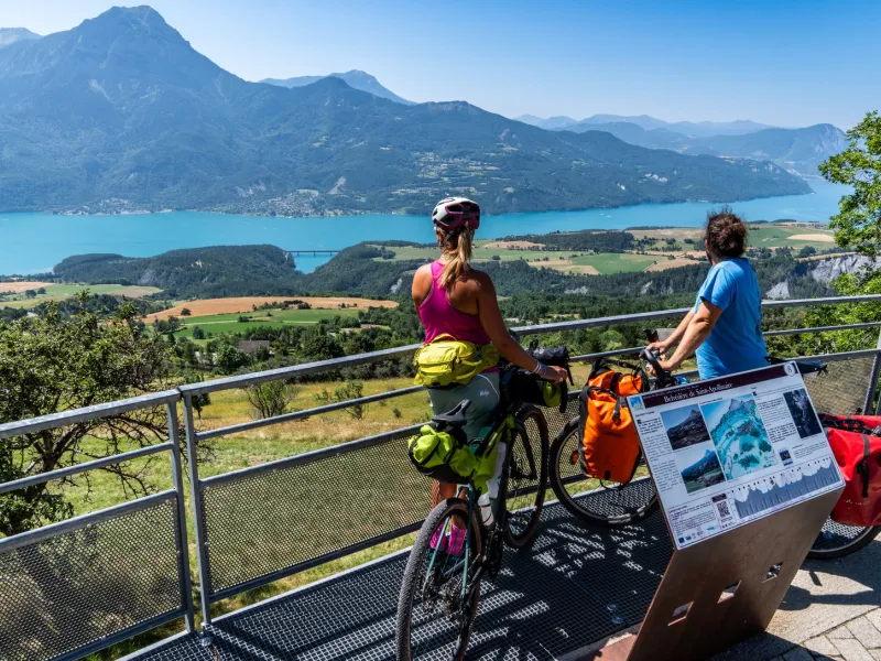
From the lake-side, a cycle lane leads you up to the town centre, then you branch off for the spectacular Route des Puys. There’s a long climb, lasting 6km, with some significantly steep stretches near the start, although the way becomes less demanding heading to the hamlet of Saint-Apollinaire. Note though that this ridge road is narrow and can be busy with traffic in summer. All the way along, the views down on Serre-Ponçon Lake are exceptional. A long descent then guides you, via twisting roads without any concessions made to cyclists, to the little town of Chorges. This short but intense stage ends at Chorges train station.
Gradients and elevation
Road types
Surface
Don't miss
- Embrun: the historic town centre; the cathedral; the medieval streets; café and restaurant terraces; the Provençal-style market; views down over Serre-Ponçon Lake.
- Route des Puys: a country road with panoramic views that can be quiet out of season, the views tremendous, of Serre-Ponçon Lake below and the mountain summits above.
- Saint-Apollinaire: a perched hamlet with hiking trails plus views down on Serre-Ponçon Lake.
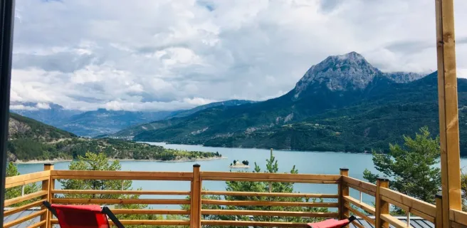
- Descent to Chorges: views down on the vast Gap Basin and across to Alpine meadows.
- Chorges: a lively little town with pedestrian streets at the foot of mountains; the weekly market; close to tracks leading to the nearby beaches and watersports centres on Serre-Ponçon Lake, notably the Baie Saint-Michel, easily accessible by bike.
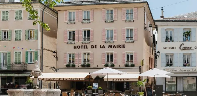
Find your accommodation on this stage


Trains and transport on the route
SNCF train stations and services
Train stations :
- Embrun
- Chorges
Train lines :
- Regional train lines (TER) : Briançon – Marseille ; Briançon - Valence ; Briançon - Grenoble
- Intercités de Nuit : Paris-Austerlitz → Briançon - With sleeping carriages offering bunk beds (couchettes) and carriages for storing your bike(s) (you must book your seat(s) and space for your bike(s) in advance)