Aurillac / Mandailles-Saint-Julien
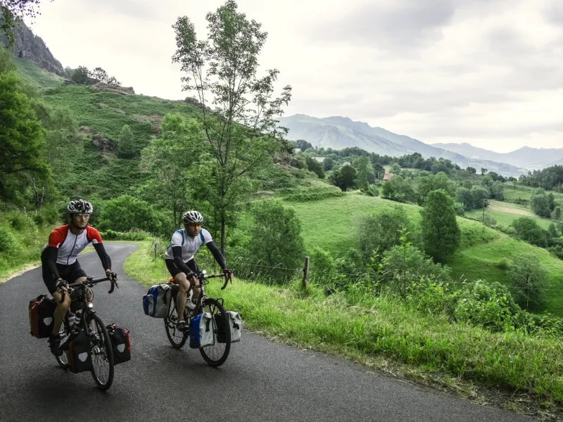
Here it comes! The largest volcano in Europe lies ahead of you. Cycle along the marvellous Jordanne Valley, originally sculpted by fire and ice, now so green, especially in spring. You emerge from the bottom of this valley, a tough climb by road taking you to the foot of a series of volcanic ‘puys’, or cones: Chavaroche, Griou and Peyre Arse. Your senses awaken here. Even if the Cantal Volcano has been dormant for millions of years, it could theoretically begin to rumble at any moment…
Tackling the Cantal Volcano by bike
Once you’ve crossed through the county of Cantal’s capital, the route rises progressively up to Mandailles (going from 630m to 940m in altitude), with a cycle lane up to Velzic. This shared route is relatively busy with traffic, both cars and motorbikes, using it to reach Peyrol Pass via the RD17 road. This stage is very popular with local cyclists.
Gradients and elevation
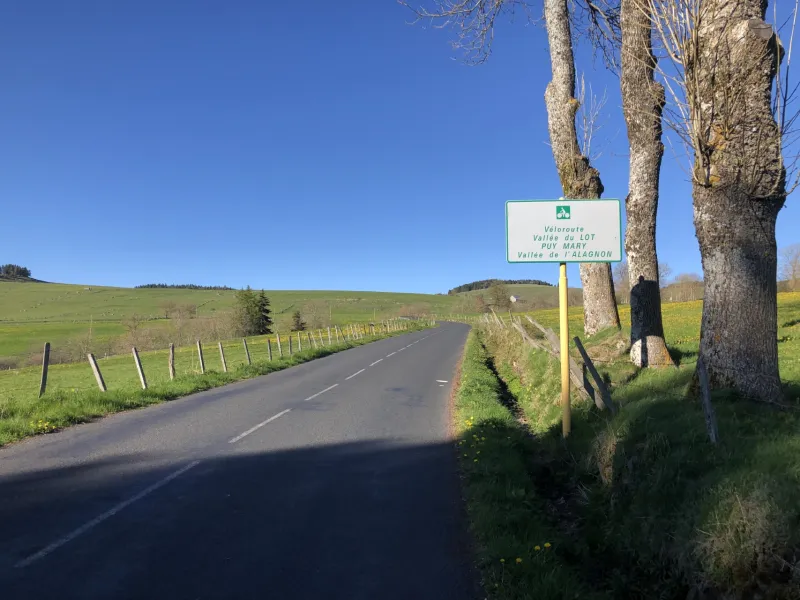
Road types
Surface
Don’t miss
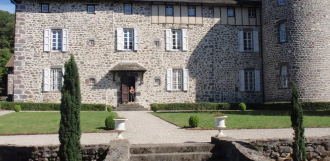
- Saint Simon: Le Sully (a remarkable old tree); the Romanesque church with frescoes relating the legend of Gerbert; the Château d’Oyez.
- Saint-Cirgues de Jordanne: the Jordanne Gorges, with a discovery trail lasting c.2hrs.
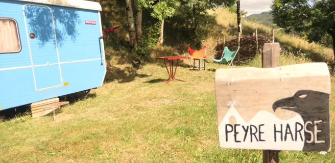
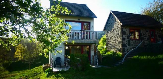
- Mandailles - Saint-Julien: views over the tops of the Cantal Volcano; a well-set-up rural holiday retreat.
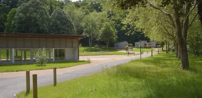
Find your accommodation on this stage

Trains and transport on the route
SNCF train station
- Aurillac train station: Regional TER line: Clermont-Ferrand, Brive, Figeac