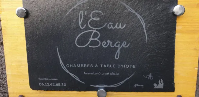
Mandailles-Saint-Julien / Allanche
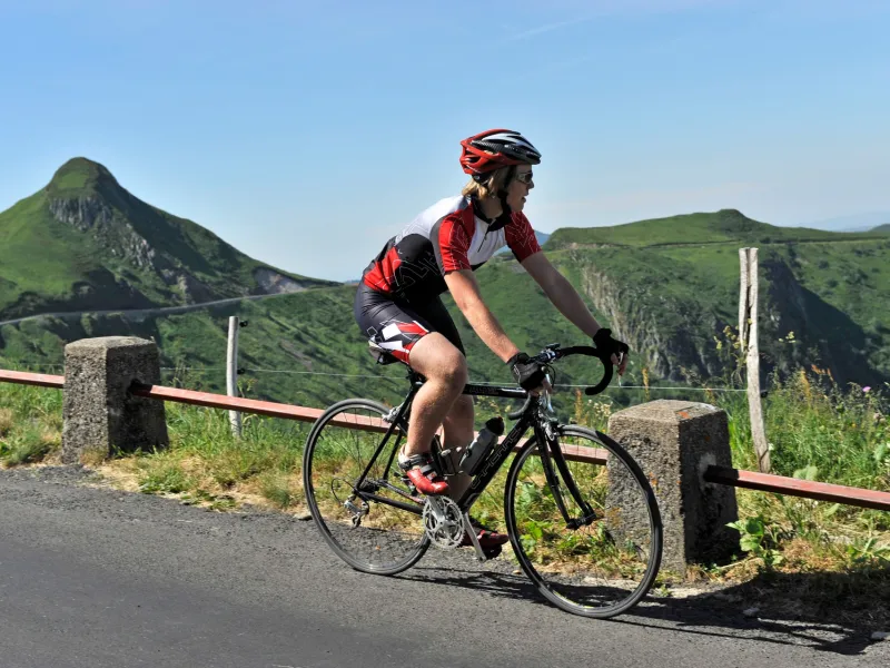
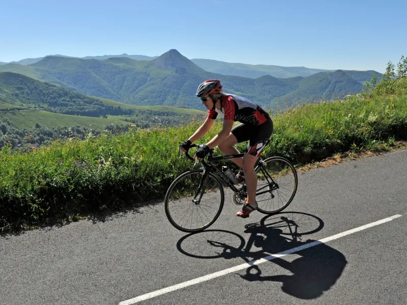
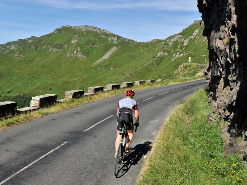
This Grande Traversée du Volcan à Vélo stage plunges you into the extensive Parc Naturel Régional des Volcans d’Auvergne. There are new challenges here, notably the climb by bike to the Pas de Peyrol, the pass marking the highest point on the route, at 1,588m. This highlight is added to by visiting the summit of Puy Mary, designated a Grand Site de France for its grandeur. Dismount at its foot for a well-earned rest, then climb by foot to the summit to take in the most spectacular of views, as far as the eye can see. From on high, you can appreciate, sometimes without crowds, the full extent of Europe’s largest strato-volcano. See how the glacial Jordanne, Impradine, Santoire, Cheylade and Le Falgoux Valleys radiate out from here like the spokes of a wheel.
Climbing to the Pas de Peyrol, a pass at the foot of Puy Mary’s summit
This stage is the longest (42.5km), most physically demanding on the route, with a steep climb to Pas de Peyrol, along the RD17 road, shared with motorized traffic. The route continues along a slope marked by descents to Collanges, before climbing again for 4.5km up to Fortuniès, finally ending with a descent to Allanche (at an altitude of 985m). Take care in summer on the stretch Mandailles / Dienne (including a fine descent to Dienne along the RD680 road). The portion between the two crossroads at Collanges and Fortuniès (1.3km) takes you along a busy portion of road, so, again, take care along this part, without special measures in place for cyclists.
Link to Les Veyrines Waterfall
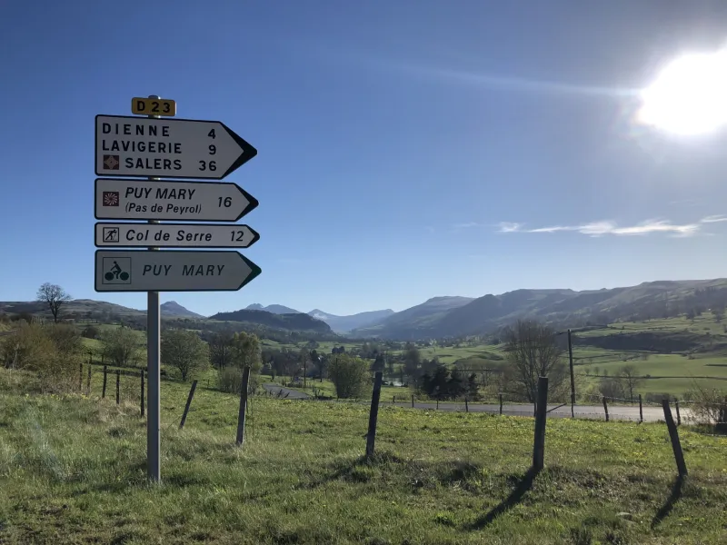
Les Veyrines (off the cycle route, 5km from Allanche): take the RD679 road in the direction of Marcenat up to the crossroads with the RD21a road. The waterfall is located below the road.
Gradients and elevation
Road types
Surface
Don’t miss:
- Puy Mary - Pas de Peyrol: the pass stands at an altitude of 1,588 m. From it, climb by foot to top of Puy Mary, its summit, at 1,787m, offering staggering 360° views. Given its exceptional grandeur, Puy Mary has been designated a Grand Site de France.
- Col de Serre: a pass with views over both the Cantal Mountains and the Sancy Range, plus the Santoire and Cheylade Valleys.
- Lavigerie, Dienne: views over the Santoire Valley and the tops of the Cantal Mountains.
- Collanges: a fine farm; the bridge over the Santoire; the old bread oven.
- Fortuniès: the hamlet and its beautiful architectural ensemble, with the church standing on its rocky outcrop facing the Puy Mary.
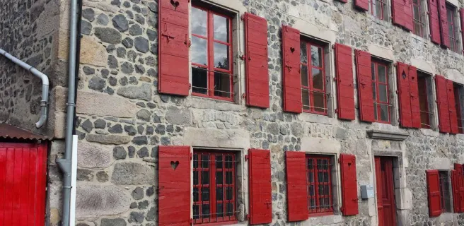
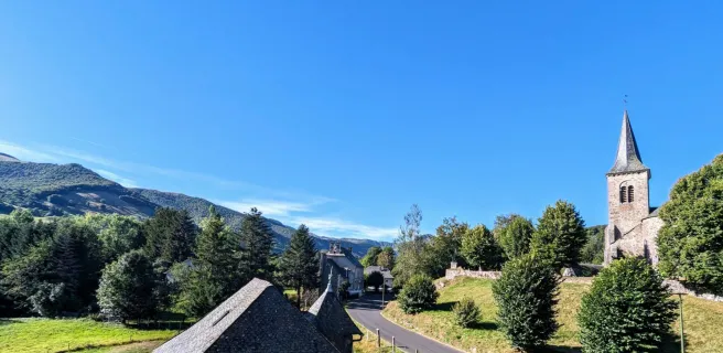
- Allanche: the village ramparts; the church built on an old basalt lava flow; the village houses with their stone slate roofs. Close by: Les Veyrines Waterfall