All stages on La Littorale
Bénodet / Concarneau
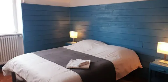
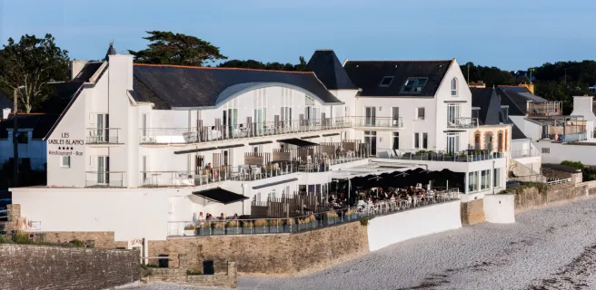
A. Lamoureux 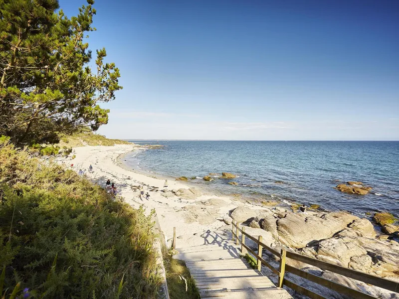
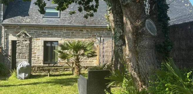
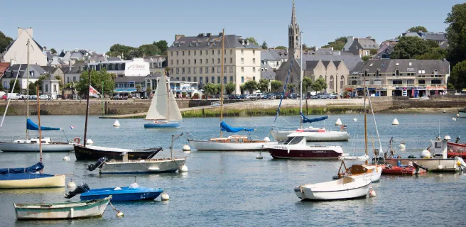
A. Lamoureux 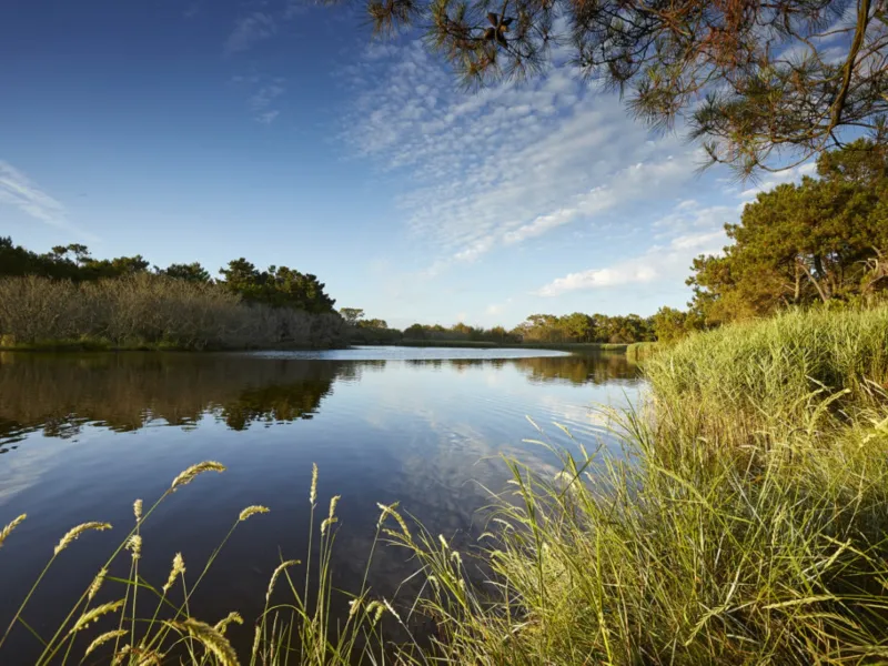
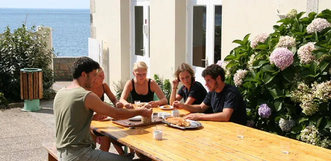
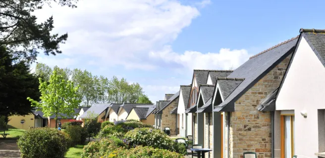
A. Lamoureux 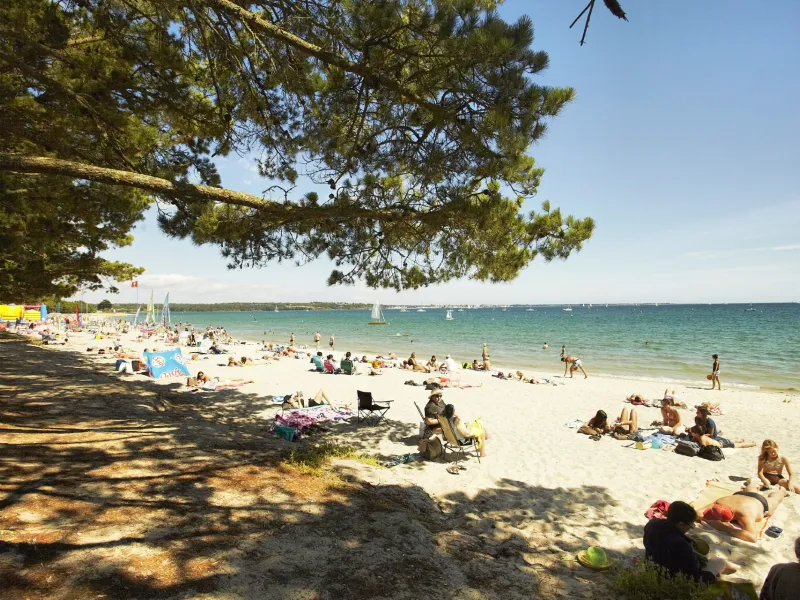
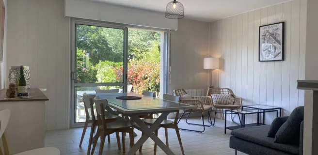
A. Lamoureux 
A. Lamoureux
While awaiting a fuller connection to other Breton routes, from Férel (west of La Roche-Bernard on the Vilaine River), a slightly hilly cycle route takes you along quiet roads and tracks to Pénestin at the Vilaine’s estuary. The Pointe du Scal Headland makes for a particularly special stop on this stage split between countryside, riverbanks and the ocean’s edge.
Cycle route
On signposted, quiet roads with some stretches along tracks.
A few portions are shared with a hiking trail.
Around Camoël, there are some quite hilly stretches; also note the narrow stretch passing through Le Haut-Pénestin.
Gradients and elevation
Ascents: 158m
Descents: 152m
Lowest point: 0m
Highest point: 63m
Road types
23km (58%) By road
16km (42%) Cycle path
7km (17%) Provisional itinerary
Surface
29km (76%) Smooth
9km (23%) Rough