Plouguerneau / Landéda

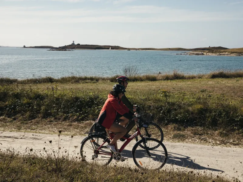
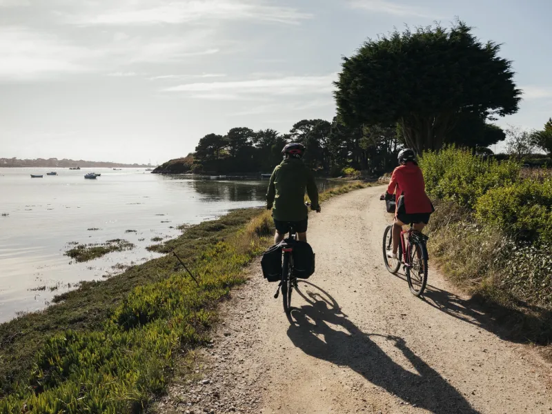
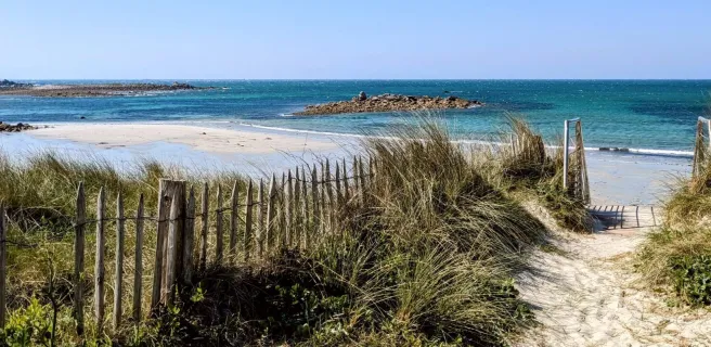
Heading west to Landéda, La Littorale cycle route leads you around the Aber Wrac’h, the biggest and most maritime of the abers (a Breton word for a deep estuary) along the north Finistère coast. The Beg-an-Toull Belvedere provides unbeatable views on this most magnificent of Breton abers. Should you wish to reduce substantially the distance to ride right around this aber, in July and August, there’s the option to take the little ferry (bac in French) linking the port of Aber Wrac’h to Perros (the name for this little port sometimes spelt Perroz). Do take in the view across the mouth of the Aber Wrac’h from the Sémaphore (an old coastal signal station turned local cultural centre), standing out in an exceptional spot, close to the well-named Notre-Dame des Anges Abbey ruins.
The route
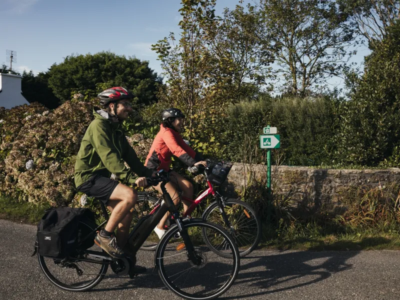
From the centre of the little port of Plouguerneau, ride down through town to the sea. Our cycle route then follows the contours of the coast, on roads shared with light, motorized traffic. Along the way, there are many spots from which to admire the wider Aber Wrach area, with mighty lighthouses and an archipelago out to sea. Consider leaving your bike at the various junctions with the national GR® 34 hiking path – also called the Sentier des Douaniers (or Coast Guards’ Trail) – to walk along sections of path leading to the tips of the string of headlands around Plouguerneau.
Take care riding from the Chapelle du Traon to Lannilis, as the cycle route meanders along a narrow, busy road shared with motorized traffic. Once over the Pont de Paluden bridge, there’s a fair climb to reach the town of Lannilis before joining a busier road again. Between Lannilis and Landéda, there’s a mix of stretches specially laid out for cyclists and of roads shared with motorized traffic, generally light.
Link to Brest
When you arrive in Landéda, you can leave La Littorale and head for Brest via Plouvien and Plabennec (37 km and 175 m ascent).
You can download the GPX track for this link below (Link n°1).
Gradients and elevation
Road types
Surface
Don't miss
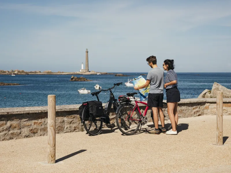
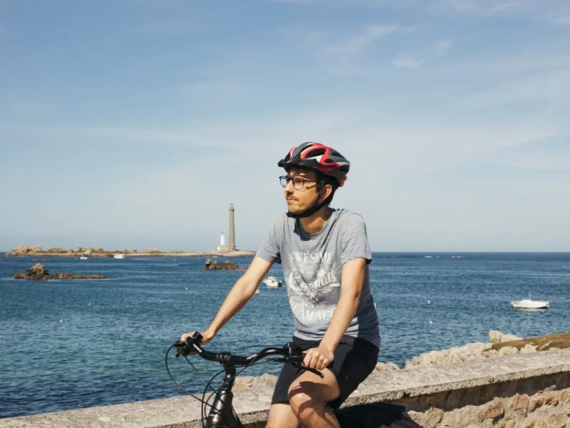
- l'Île Vierge: climb the highest lighthouse in Europe
- Pass via the Pointe du Castel-ac'h for a view of the lighthouse
- Views from the Beg-an-Toul Headland
- Aber-Wrac'h: views from the Sémaphore
- Landéda: Le Brouennou Marsh and its vegetable gardens (potagers in French); the Pointe du Vill, a headland surrounded by oyster-farms (ostréiculteurs in French)