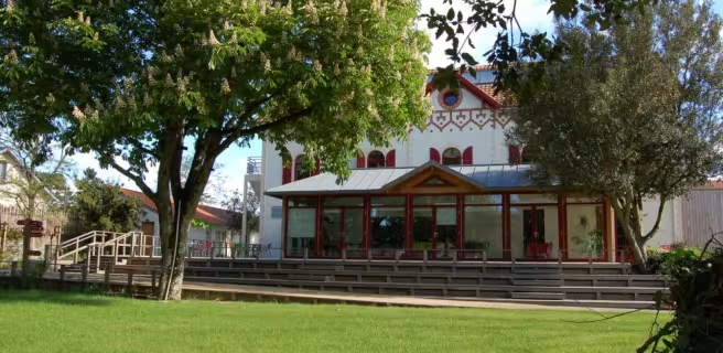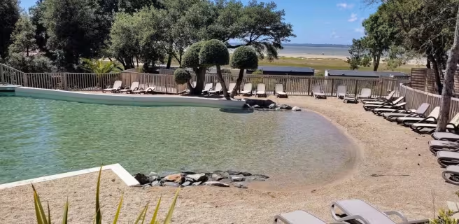
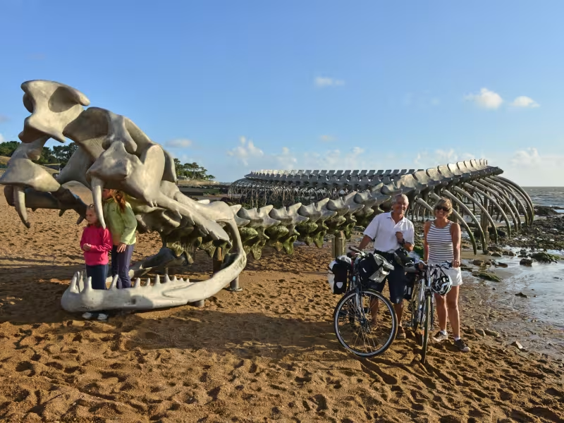
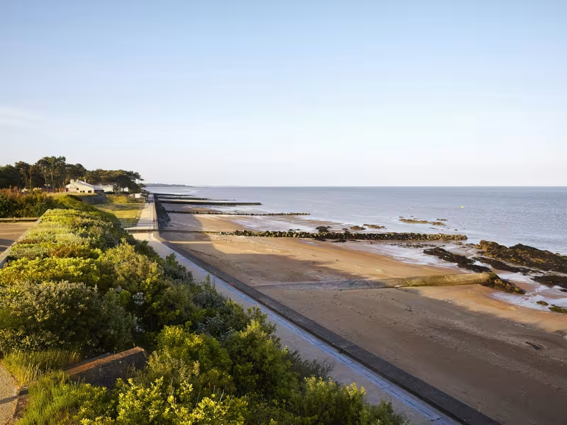
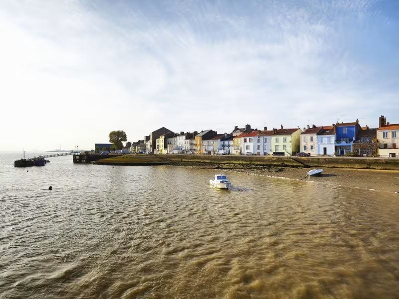
This is the last stage on the Loire à Vélo cycle route, but it also offers you the opportunity of joining the Velodyssey cycle route as it runs alongside the Atlantic. The Loire is strongly affected by the tides here and arriving at the end of the stage, you end up in a typical seaside resort !
Itinerary
Temporary route on small lanes with the cycle track beginning in Mindin. Take care when crossing the RD 77 and RD 77a. End of the Loire à Vélo route at Mindin.
Gradients and elevation
Ascents: 5m
Descents: 10m
Lowest point: 1m
Highest point: 10m
Slope breakdown
12km flat (-1% to 2%)
Road types
10km (85%) of cycle paths
2km (15%) of shared roads
- Cycle path
- Routes reserved for cyclists and pedestrians (greenways, cycle tracks, towpaths), separated from cars for maximum safety.
- Shared road
- Quiet minor roads with little traffic (unless otherwise stated in the stage details). Shared with cars (stay alert).
- Not specified
- Data unavailable or being assessed. Please refer to the detailed stage description.
- Provisional
- Section on a road or cycle path awaiting better-quality facilities (see stage details).
Surface
2km (20%) of smooth surface
9km (80%) of rough surface
- Smooth
- Asphalt, tarmac or smooth concrete. Optimal comfort.
- Rough
- Fine gravel, compacted stabilised surface or worn tarmac. Less comfortable, vibrations possible.
- Natural
- Dirt, grass, roots or stones. Under 5%: short sections with little impact. Higher percentage: route suited to mountain or gravel bikes only.
- Not specified
- Data unavailable or being assessed. Please refer to the detailed stage description.