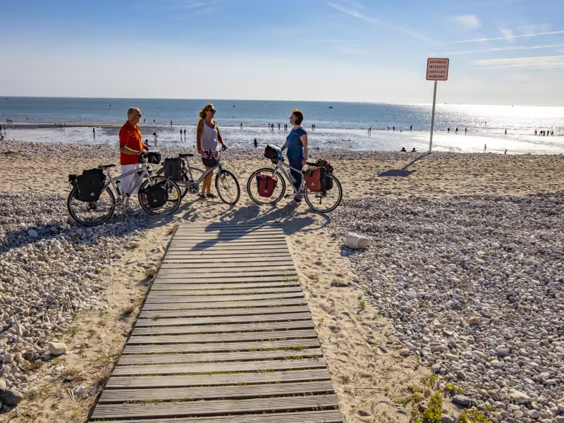
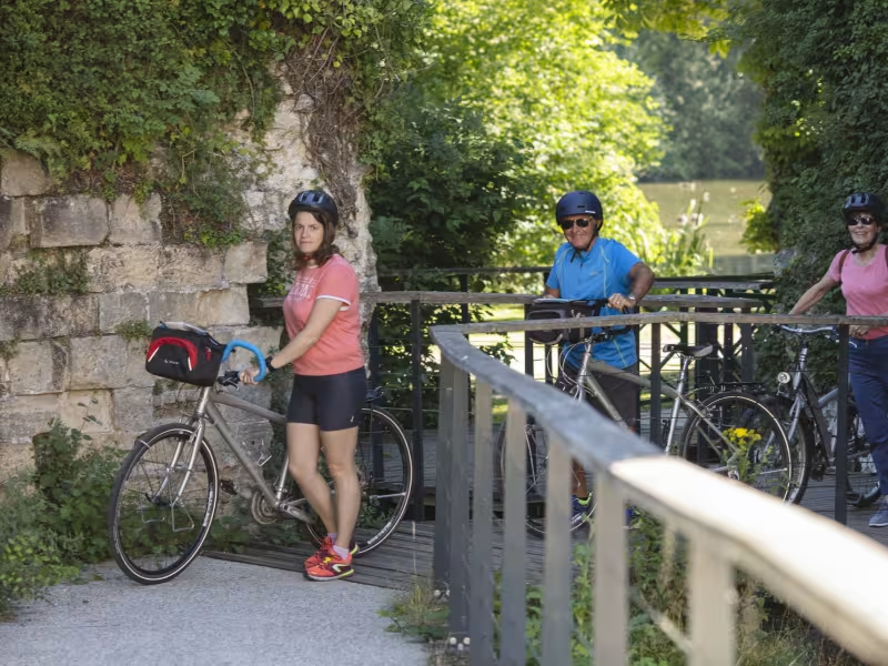
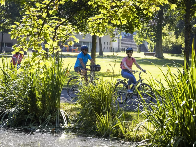
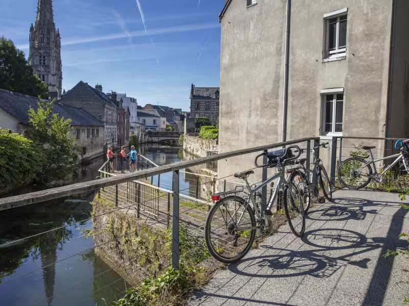
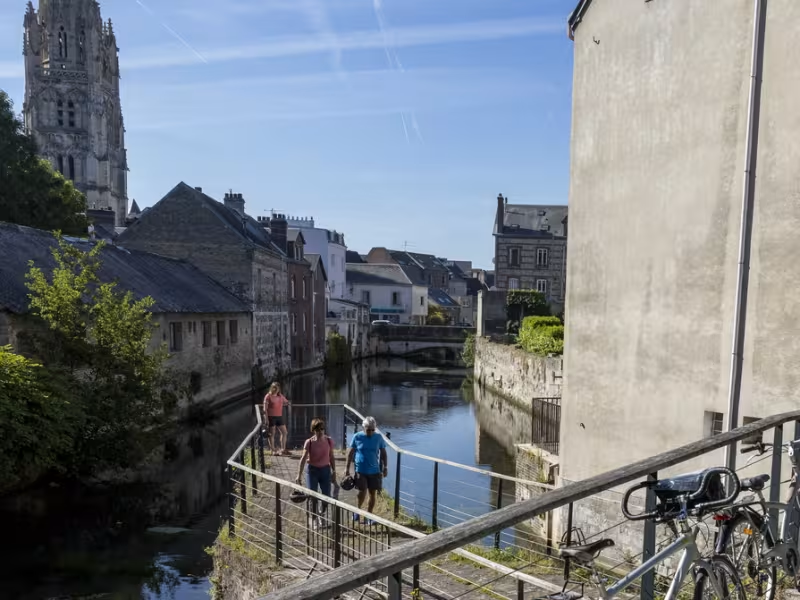
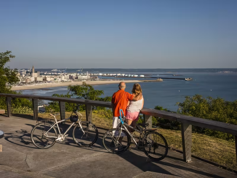

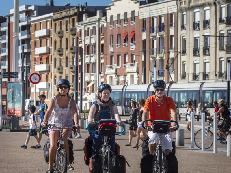
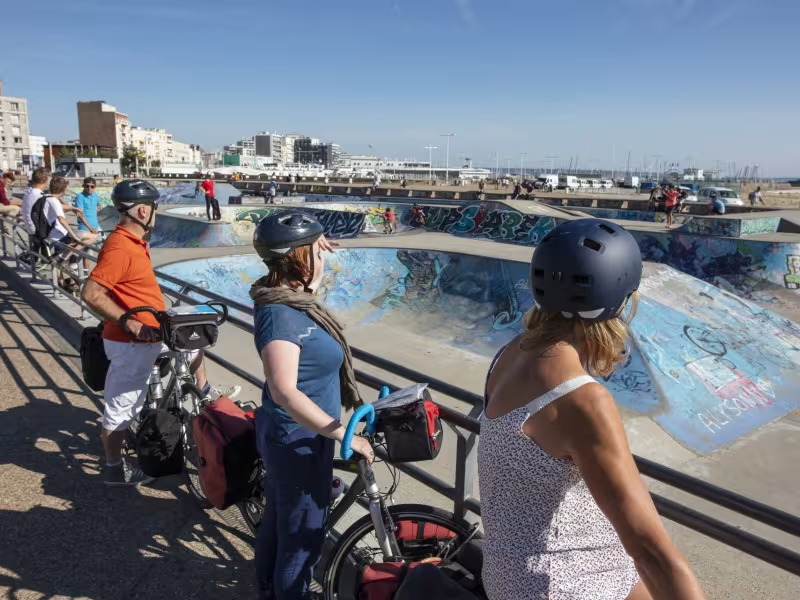
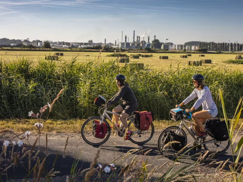
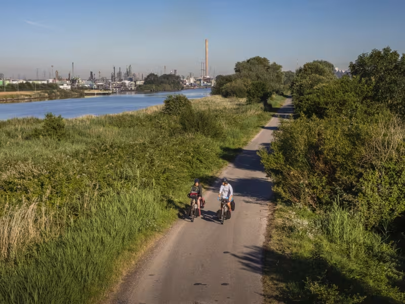
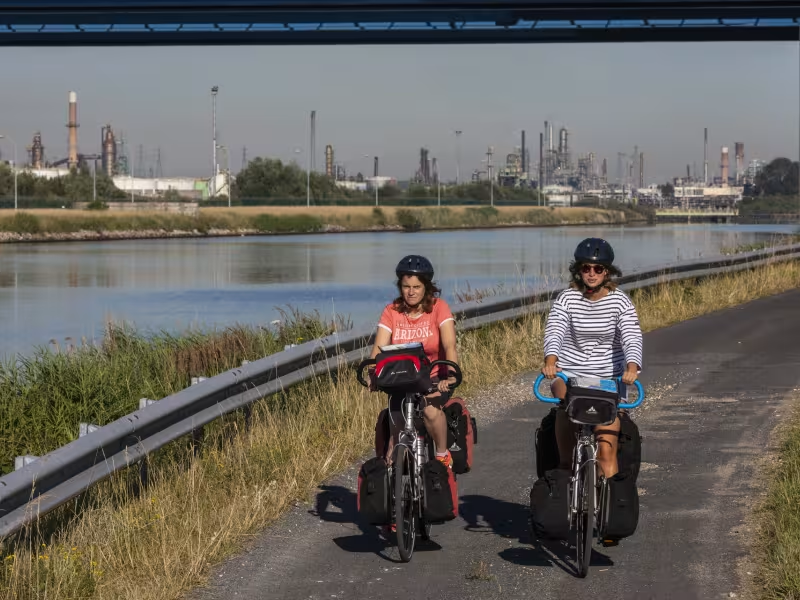
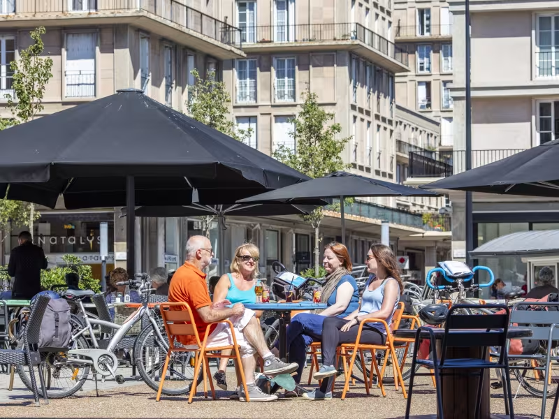
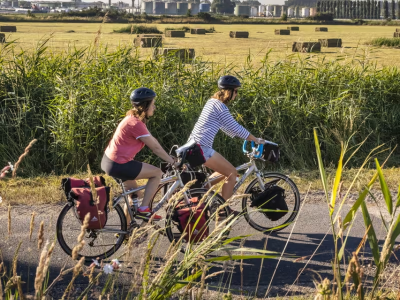
Riding beside the Seine for its final kilometres, see how the mighty river grows much wider. The port of Le Havre and the département (county) of Calvados are now just a short ride away. This last stage of the Seine à Vélo takes you under the impressive Tancarville Bridge. Pause to admire this architectural wonder, suspended 123 metres above you. Completed in 1959, it was the first great bridge built to span the Seine between Rouen and Le Havre. The greenway runs beside the canal parallel to the Seine, with views of fields, industry and cliffs. In the distance rises the Pont de Normandie. Nearing the end of the route, the historic heart of Harfleur, with its medieval houses, is worth exploring before entering Le Havre. This port’s centre, destroyed in World War II, was rebuilt according to the plans of architect Auguste Perret. The place has been declared a UNESCO World Heritage Site in recent times. Arriving at Le Havre’s pebble beach, you might take a well-deserved dip in the sea, or enjoy wandering along the seafront.
The route
From La Cerlangue, you cycle along the Seine Valley for some 15km, between cliffs and industrial factories, crossing the parishes of Saint-Vigor-d'Ymonville, Sandouville, Oudalle, Rogerville, Gonfreville-l'Orcher and Harfleur, before reaching Le Havre. You arrive in the greater Le Havre Seine Métropole area via the RD982 road – take care along it. From Rogerville, a greenway enables you to enter the town of Le Havre itself, bypassing the La Brèque spaghetti junction after Harfleur. Once in Le Havre, there’s a cycle lane beside the RD6015 road leading you all the way to the beach.
Gradients and elevation
Slope breakdown
Road types
- Cycle path
- Routes reserved for cyclists and pedestrians (greenways, cycle tracks, towpaths), separated from cars for maximum safety.
- Shared road
- Quiet minor roads with little traffic (unless otherwise stated in the stage details). Shared with cars (stay alert).
- Not specified
- Data unavailable or being assessed. Please refer to the detailed stage description.
- Provisional
- Section on a road or cycle path awaiting better-quality facilities (see stage details).
Surface
- Smooth
- Asphalt, tarmac or smooth concrete. Optimal comfort.
- Rough
- Fine gravel, compacted stabilised surface or worn tarmac. Less comfortable, vibrations possible.
- Natural
- Dirt, grass, roots or stones. Under 5%: short sections with little impact. Higher percentage: route suited to mountain or gravel bikes only.
- Not specified
- Data unavailable or being assessed. Please refer to the detailed stage description.
Don’t miss
- Harfleur: the medieval town centre
- Le Havre:
- Natural History Museum: with playful interactive exhibitions presenting flora, fauna and minerals
- Perret’s archetypal flat, immersing you in the 1950s
- Un Eté au Havre, featuring over 20 works of contemporary art on a grand scale, to be spotted around town, across the year.
- MuMa (Musée André Malraux), boasting the second most important collection of Impressionist works in France