Seuil de Naurouze / Revel
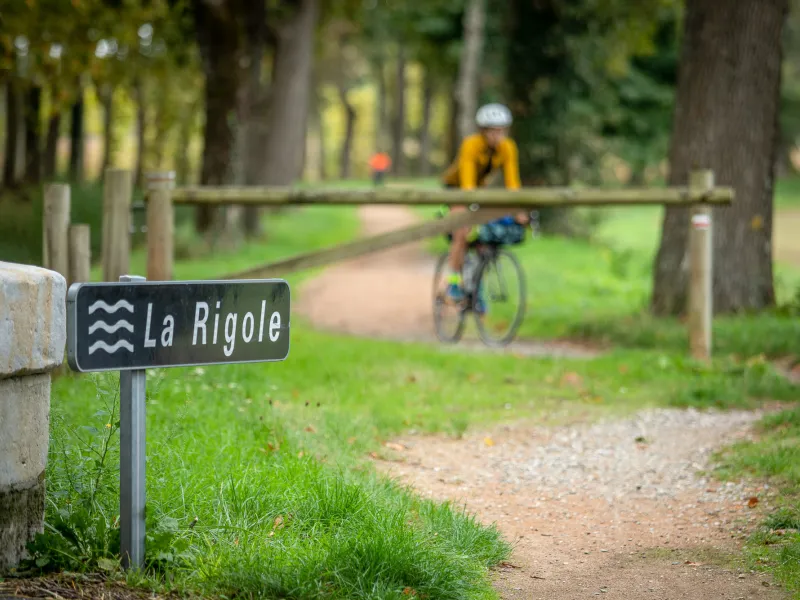
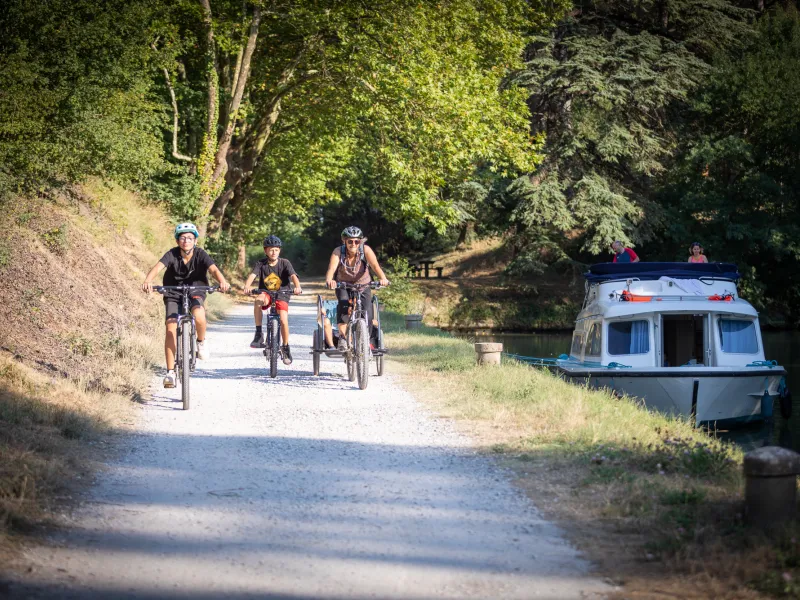
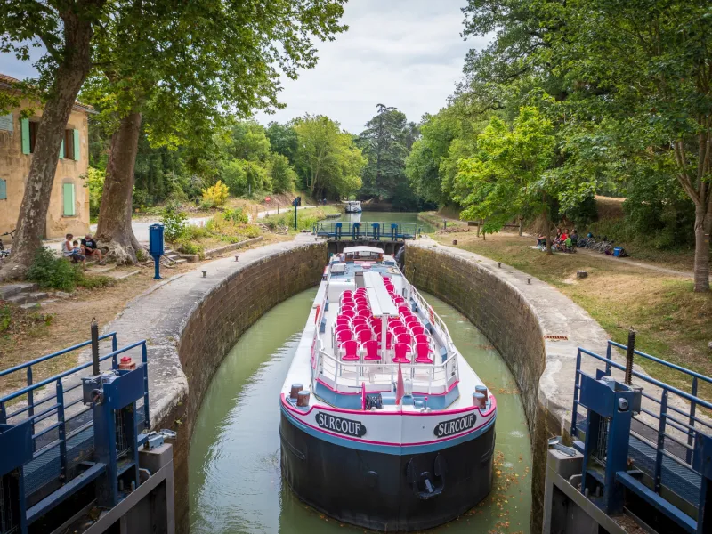
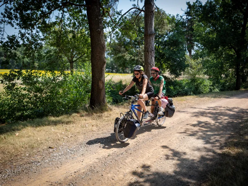
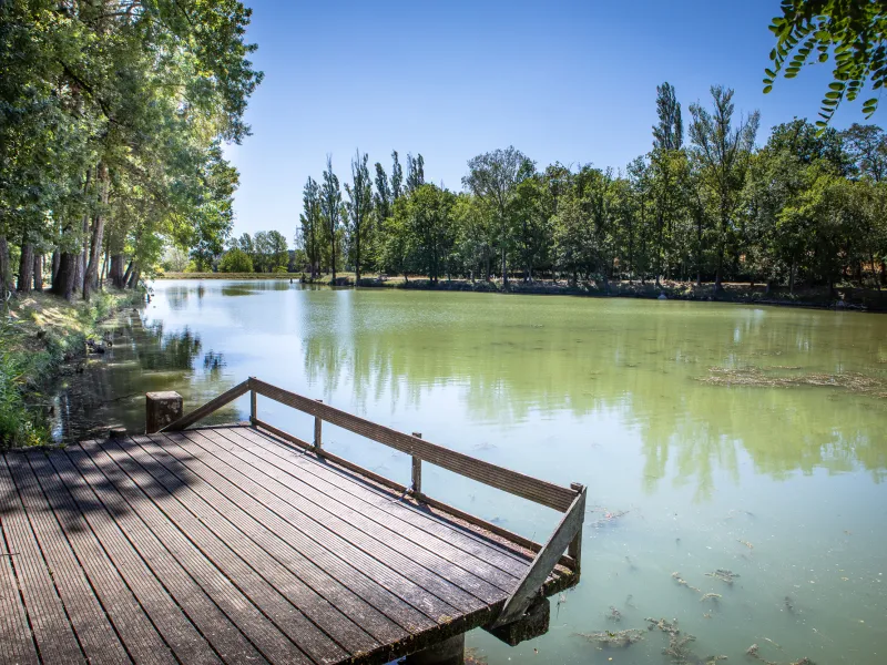
Follow in the footsteps of great 17th-century French engineer Pierre-Paul Riquet, who designed the Canal du Midi, and travel back in time to the canal’s beginnings as you ride along this stage! Discover the countless extraordinary hydraulic works built during Riquet’s lifetime to channel waters coming down off the mighty Montagne Noire to bring to life the Canal du Midi. Witness Riquet’s scientific rigour and invention, admiring the scale of the project and the skills of the workers involved. Across 50km, an extraordinary story of engineering prowess unfolds. Shade was even planned, rows of splendid canal-side plane trees thoughtfully planted for the benefit of future generations! Enjoy a pause to cool off beside the reservoirs dotted along the Rigole de la Plaine (a channel specially created to feed the Canal du Midi with water), taking in splendid views over the patchwork of fields and the perched villages of the Lauragais area. Savour all these little delights along this historic watery route.
La Véloccitanie from Seuil de Naurouze to Revel
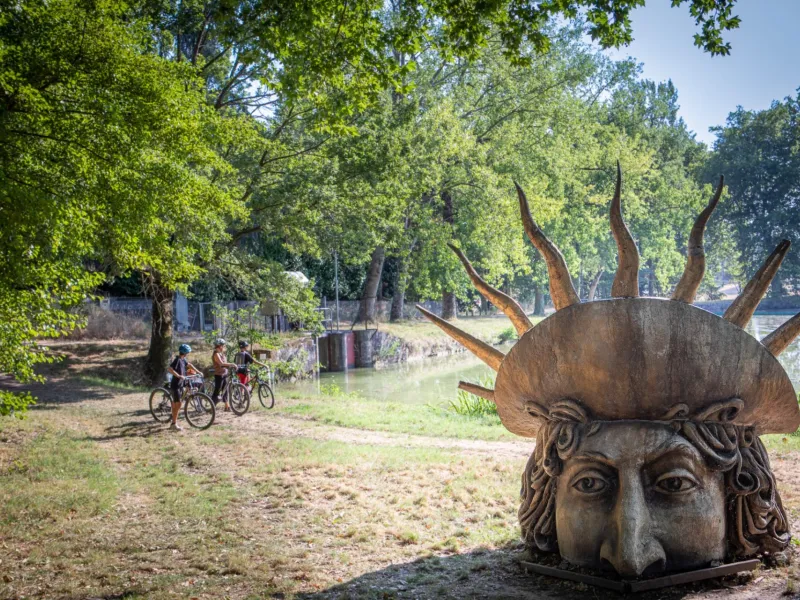
You ride along quiet little country roads with little traffic going from Le Seuil de Naurouze to Labastide d'Anjou, then up to the Rigole de la Plaine , a channel specially created to feed the Canal du Midi with water. Next, you follow a towpath beside the first section of the Rigole de la Plaine as far as Lenclas Lake. Later, you take a greenway (along 15km) from the Rigole de la Plaine to Revel.
Potential difficulties and places to take care: riding out from Le Seuil de Naurouze, follow our suggested route via Labastide-d’Anjou, which leads on to the Rigole. That way, you avoid crossing the D613 road, which isn’t adapted to cyclists and can be dangerous. The towpath beside the Rigole up to Lenclas Lake is being laid out for cyclists at time of writing, but is not really suitable to tackle in rainy weather.
Gradients and elevation
Road types
Surface
Don't miss
- Montferrand: Le Seuil de Naurouze, the point where waters coming down off the Montagne Noire reach the Canal du Midi, along the line of the natural watershed in this part of France dividing rivers flowing to the Mediterranean from those heading for the Atlantic. Make the most of this enchanting spot by following the trail shaded by lines of majestic plane trees planted back in 1809.
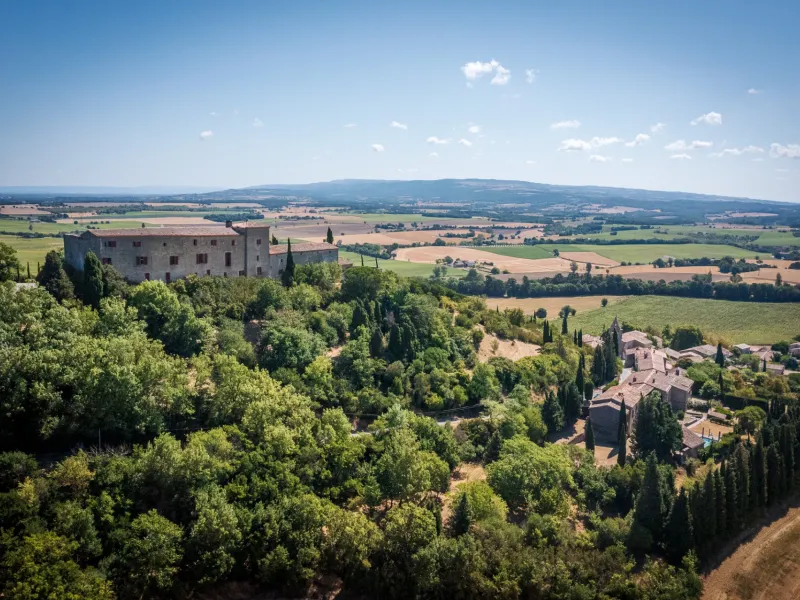
- Les Cassés : a perched village that evokes strong memories of the Cathars, members of a rigorous medieval Christian sect that believed the material world was evil. In 1211, the village was besieged by Simon de Montfort’s army, leading to some 60 Cathars, declared heretics by the then pope, being put to death at the stake, the largest such persecution in the Lauragais area. A memorial to the Cathars recalls the tragedy.
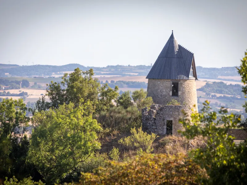
- Saint-Félix Lauragais: the breathtaking views all around. From Montfort Tower, look over the Lauragais Plain, the Montagne Noire and the Lacaune range; on really clear days, you can even make out the Pyrenees! From Rue des Nobles, the views extend to the Lauragais’s slopes and the perched villages of Saint-Julia, Montgey and Puylaurens. From the Cimetière des Anglais (a cemetery containing graves of British soldiers who died following the Battle of Toulouse in 1814, serving the Duke of Wellington against Napoleon), enjoy a great view down on the village itself.
- Roumens: at the Atelier Bleu Pastel d'Occitanie, discover how blue pastel dye has traditionally been produced in the area, this magical but natural colour, iconic in the region for centuries, produced in front of your very eyes. Find out how the area became known as the Pays de Cocagne, the Land of Milk and Honey, deriving from its agriculture wealth, and notably the woad cocagnes, or shells, used in the dyeing process – all will be explained!