Seaside
33,85 Km
2 h 15 min
I cycle often
33,85 km cycling route from Pornic to Bouin
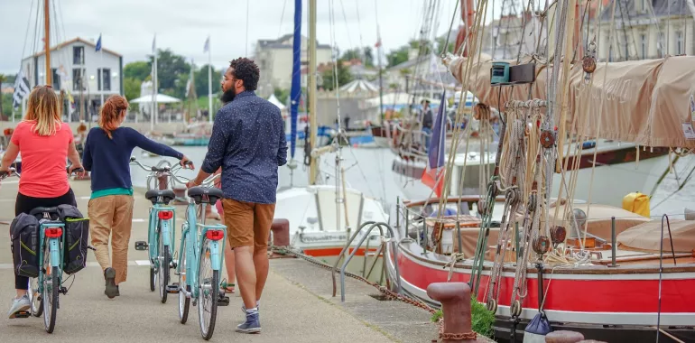
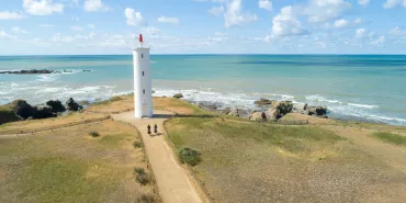
La Vélodyssée route continues its tour of the Bay of Bourgneuf, brushing past the Breton Marshes in the search for out-of-the-ordinary landscapes in an area rich in birds local to the region. Human activity makes itself felt in the form of the fisheries and the small working ports which dot the coastline. One last gourmet stage on the Loire-Atlantique, La Vélodyssée route continues its tour of the Bay of Bourgneuf. We find ourselves in oyster country, encountering numerous little oyster ports and pits used to cultivate the oysters.
Elevation of the stage
52 m 56 m
Waytypes of the stage
Cycle path: 7,29 km By road: 26,56 km
Surface of the stage
Smooth: 24,06 km Rough: 8,43 km Unknown: 1,36 km
Itinerary
Some way from the coast, small roads lead to Bernerie-en-Retz, then onto Moutiers-en-Retz via a lengthy detour.
Then, the route leads along some paths which are shared in places through marshes, along the coast and across polders to come into the ports of Collet and Brochets before arriving at Champs in the district of Bouin.
Connection
Access to Bouin via a signposted connection.


Travellers’ reviews