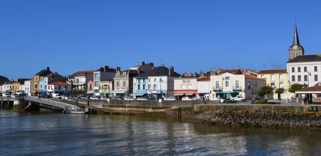
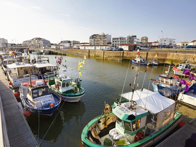
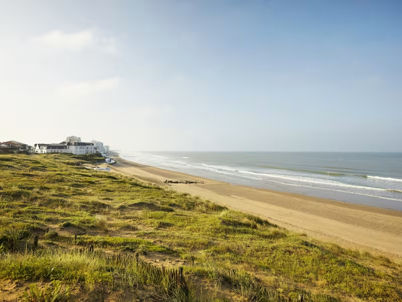
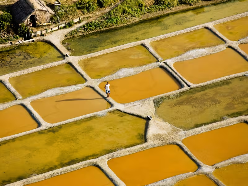
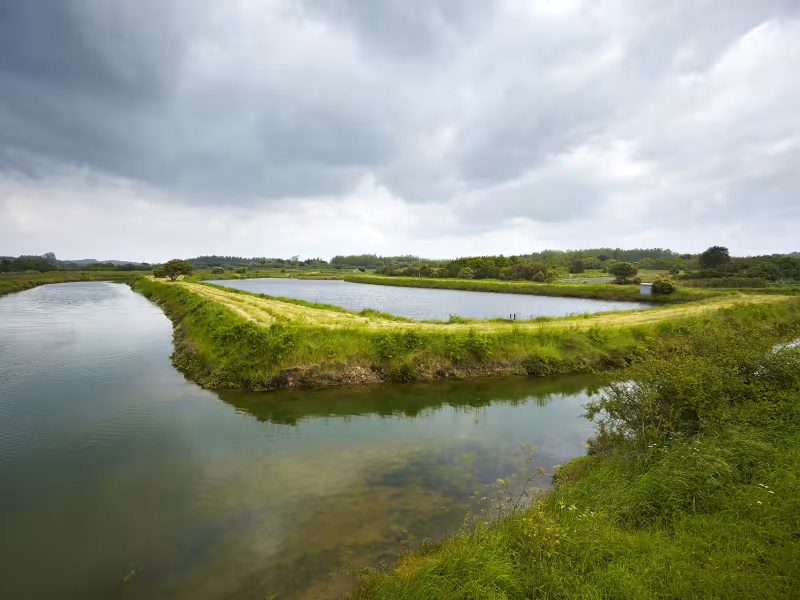
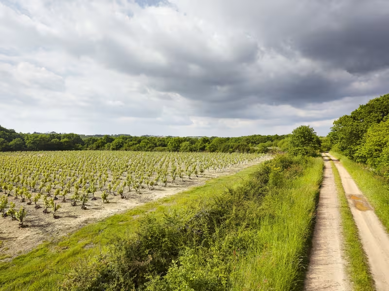
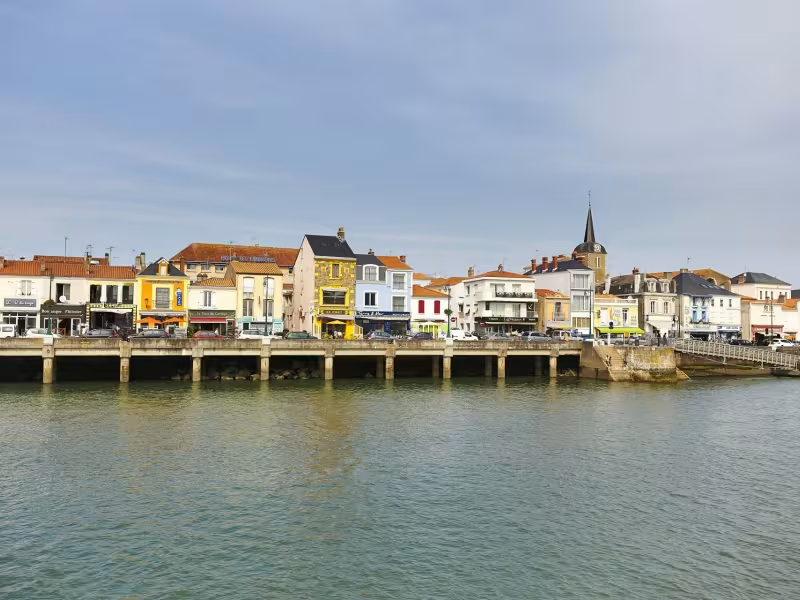
St-Gilles-Croix-de-Vie, working port, well-known seaside resort, significantly located on a river whose name means ‘life’… all this and the Grande Plage… altogether an unmissable location on La Vélodyssée! Take time to stroll around before continuing on the route which gets closer to the coast towards Brétignolles-sur-Mer and Brem-sur-Mer.The route stretches along the coast and snakes through the Avocettes road between the Olonne forest and the ancient salt marshes which extend between Brem, the Isle of Olonne, Olonne-sur-Mer and Les Sables-d’Olonne.
Gradients and elevation
Slope breakdown
Road types
- Cycle path
- Routes reserved for cyclists and pedestrians (greenways, cycle tracks, towpaths), separated from cars for maximum safety.
- Shared road
- Quiet minor roads with little traffic (unless otherwise stated in the stage details). Shared with cars (stay alert).
- Not specified
- Data unavailable or being assessed. Please refer to the detailed stage description.
- Provisional
- Section on a road or cycle path awaiting better-quality facilities (see stage details).
Surface
- Smooth
- Asphalt, tarmac or smooth concrete. Optimal comfort.
- Rough
- Fine gravel, compacted stabilised surface or worn tarmac. Less comfortable, vibrations possible.
- Natural
- Dirt, grass, roots or stones. Under 5%: short sections with little impact. Higher percentage: route suited to mountain or gravel bikes only.
- Not specified
- Data unavailable or being assessed. Please refer to the detailed stage description.
Itinerary
Quite a sporty stage, alternating between dunes and reinforced or asphalted tracks. From Brem-sur-Mer to les Sables d'Olonne, cycle lanes and shared lanes.
Connection
Small marked road to reach the centre of Brem-sur-Mer.