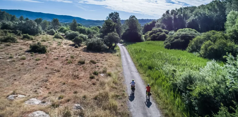
104,18 km cycling route from Meyrargues to Draguignan
Elevation of the stage
Waytypes of the stage
Surface of the stage
The route
This stage will gradually be laid out properly, but it presents a number of difficulties at present, so cycle along with care.
The route is being signposted from Meyrargues station on the border between the counties of the Bouches du Rhône and the Var.
Signposting is in place leaving Salernes, taking the former Provence rail line to Flayosc.
Take care:
Between Pontèves and Sillans-la-Cascade, the route’s surface is in a very bad state of repair in several spots at time of writing.
Before Flayosc there’s a series of short tunnels for which you need to put on your lights. Note that you may encounter some motorized traffic coming in the opposite direction in these tunnels.
Dangerous descent along the Chemin du Seyran track at the level of Bondil before Draguignan.
Smooth surfaces: along most of this stage.
Rough surfaces: at Pontèves, on the forest road between the D60 and D560 roads. Before Sillans-la-Cascade, on the former Route de Sillans, parallel to the D560 road and just before Sillans on the Chemin de Provence (watch out for potholes). Note the dangerous descent along the Chemin du Seyran, at the level of Bondil, before Draguignan, where the surface is in a very bad state of repair. After Salernes, on the former Provence railway line. On the link towards Les Arcs sur Argens, along the track at the level of the vineyards of the Domaine de Ste Roseline.
Link
Draguignan < > Les Arcs-sur-Argens: from Draguignan, behind the tourist office, you can join a greenway via Trans-en-Provence to Les Arcs-sur-Argens. Note that there are some major slopes between Trans-en-Provence and Ste-Roseline, where you join the Voie de la Vigne through vineyards up to Les Arcs-sur-Argens.
PRACTICAL INFORMATION
Tourist Offices
OT Jouques
33 (0)4 42 63 75 04
OT Peyrolles
33 (0)4 42 57 89 82
Office de Tourisme La Provence Verte
33 (0)4 94 72 04 21
Bureau d’information touristique de Barjols
33 (0)4 94 77 20 01
Office de tourisme intercommunal de Dracénie
33 (0)4 98 10 51 05
Bureau d’information touristique desArcs-sur-Argens
33 (0)4 94 73 37 30
SNCF train stations
Meyrargues station
Les Arcs-sur-Argens / Draguignan stations
Accommodation on the stage
Cycling route ideas on the stage

They did it!

Travellers’ reviews