All stages on P'tites Routes du Soleil
Grenoble / Villard-de-Lans
DR GIS 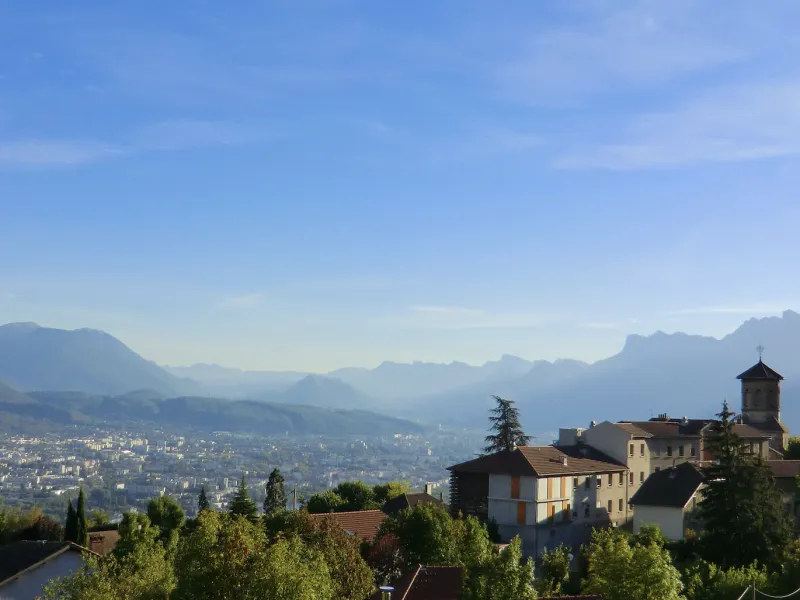
Lionel Terrail - Grandes Itinérances 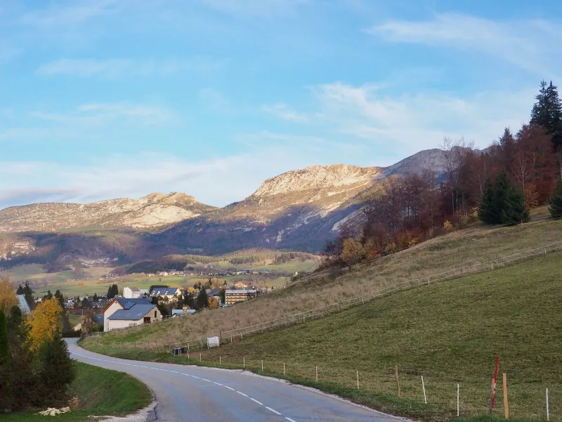
Lionel Terrail - Grandes Itinérances 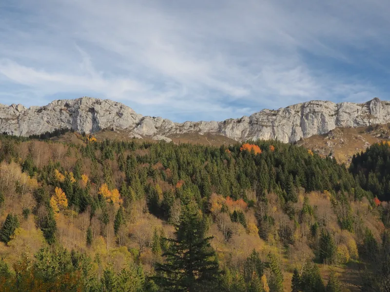
Lionel Terrail - Grandes Itinérances 
DR GIS 
Lionel Terrail - Grandes Itinérances 
DR GIS 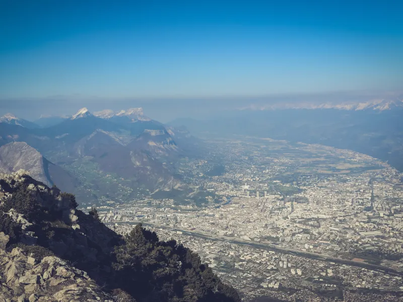
The climb to Saint-Nizier-du-Moucherotte (1,168m) taking you up from Grenoble to the Vercors Plateau is well known for its splendid views. As you negotiate the hairpin bends up this stage of the P’tites Routes du Soleil® you rise high above sprawling Grenoble, the Belledonne Range in the background. Be aware, though, that this stage is extremely demanding. Even if the climb is very steep, once you reach Saint-Nizier, the Vercors Plateau opens out generously in front of you. Carrying on to Villard-de-Lans proves a piece of cake! Note that bus line 5110 linking Grenoble to Saint-Nizier-du-Moucherotte is equipped with bicycle racks, so there is a way of avoiding this long climb by bike!
Gradients and elevation
Ascents: 1181m
Descents: 369m
Lowest point: 211m
Highest point: 1194m
Road types
38km (100%) By road
Surface
38km (100%) Smooth
Don't miss:
- Villard-de-Lans: this lovely village resort known (along with the little city of Die) as the capital of the Parc Naturel Régional du Vercors, converted to tourism in the 1970s. It is also at the centre of a wider World War II memorial site, with monuments scattered across the Vercors Plateau recalling Resistance fighters.
- Via Vercors: this gentle 50km-long cycle route offers a lovely alternative to the P’tites Routes du Soleil®. The trail is dotted with viewing points and playful surprises. Do try out the wooden vizors directing your gaze to local summits, set up in place of more traditional viewing tables.
- The Parc Naturel Régional du Vercors: it encompasses the Vercors Range, from the Isère Valley in the north to the Diois area and Drôme Valley in the south. Seen from below, on every side the Vercors presents sheer, daunting cliffs, but a few roads and trails wend their way up to or down from the high plateau. The Vercors’s landscapes are spectacular, characterized by gorges, limestone stacks, clints and endless vertical rockfaces.