Villard-de-Lans / Die
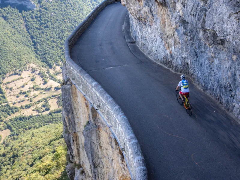
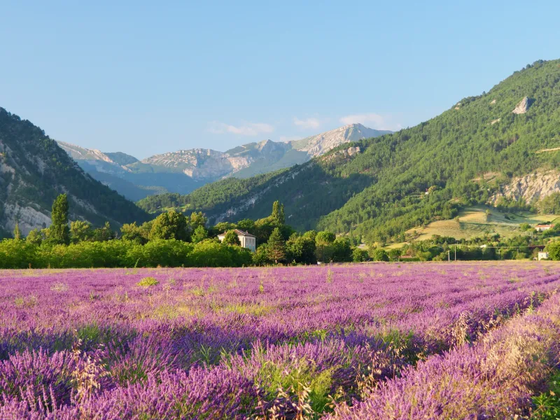

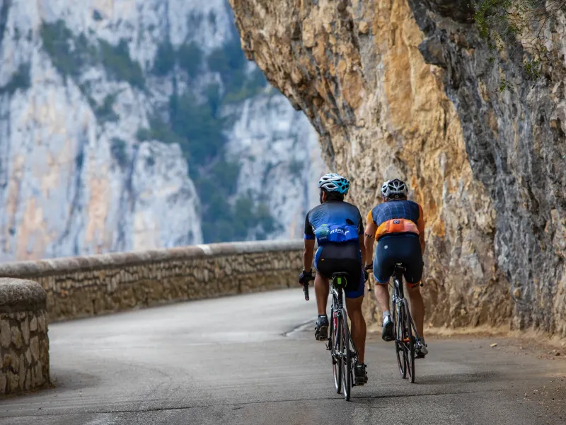
Reaching the Diois area via the P’tites Routes du Soleil® promises a complete change of scenery and a southern feel… but before that, time to ride right across the natural fortress of the Vercors. Hostilities begin as you leave Villard-de-Lans and climb the small Col d’Herbouilly (a pass at 1,370m). Further on, the Col de Proncel (at 1,100m) links the villages of La Chapelle-en-Vercors and Vassieux-en-Vercors. After Vassieux, the Col de St-Alexis (1,222m) allows you to carry on to the Col de Rousset (1,245m). As to the Tunnel du Rousset, 769m in length, note that it requires lights to cycle through it. As you descend off the Vercors Plateau towards Die, the contrast is extraordinary. Before long, you’ll spot your first lavender fields, a foretaste of Provence. For a challenging, interesting alternative to the Col du Rousset as a way down from the Vercors Plateau, opt for the Col de la Bataille (1,313m), then descend towards Die via the Gervanne Valley and the Col de la Croix.
Gradients and elevation
Road types
Surface
Don't miss:
- The Grotte and Parc de la Draye Blanche at La Chapelle-en-Vercors: for underground exploration, a prehistoric park and walks with huskies, even in summer! You can also charge your e-bike battery here.
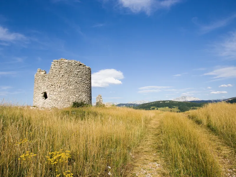
- Mémorial de la Résistance and Nécropole de Vassieux-en-Vercors: to learn about the tragedy that cost 201 civilians and 639 Maquisards, or Resistance fighters, their lives in July 1944.
- Die: a pretty little city in the Drôme Valley, set at the foot of the southern Vercors and the little ski resort of the Col de Rousset. The area around Die is well known for its agricultural produce, including Clairette de Die, a fragrant sparkling wine.
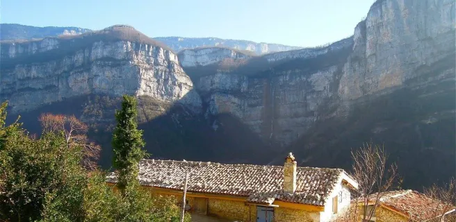
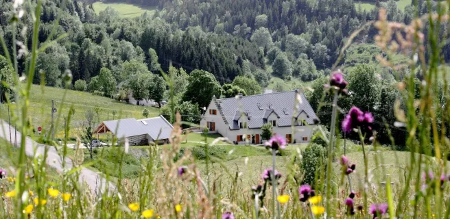
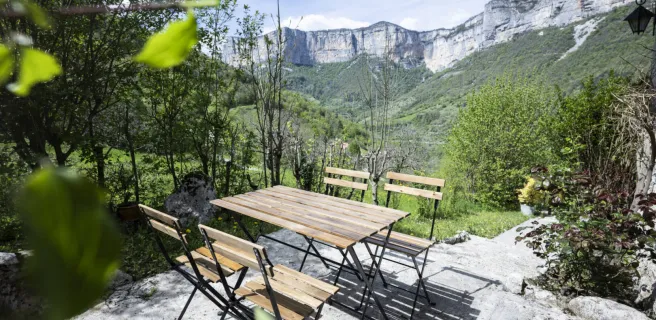
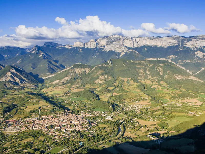
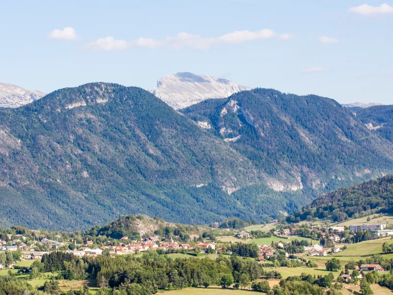
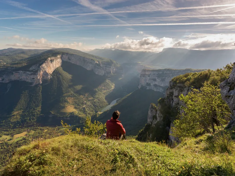
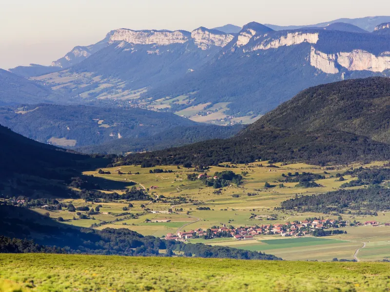
- The Parc Naturel Régional du Vercors: it encompasses the Vercors Range, from the Isère Valley in the north to the Diois area and Drôme Valley in the south. Seen from below, on every side the Vercors presents sheer, daunting cliffs, but a few roads and trails wend their way up to or down from the high plateau. The Vercors’s landscapes are spectacular, characterized by gorges, limestone stacks, clints and endless vertical rockfaces.