Belfort / Porrentruy

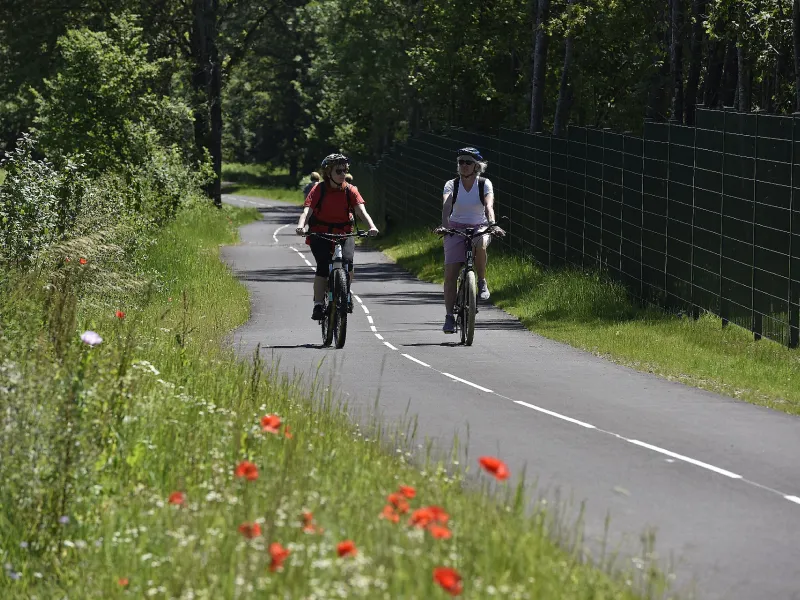
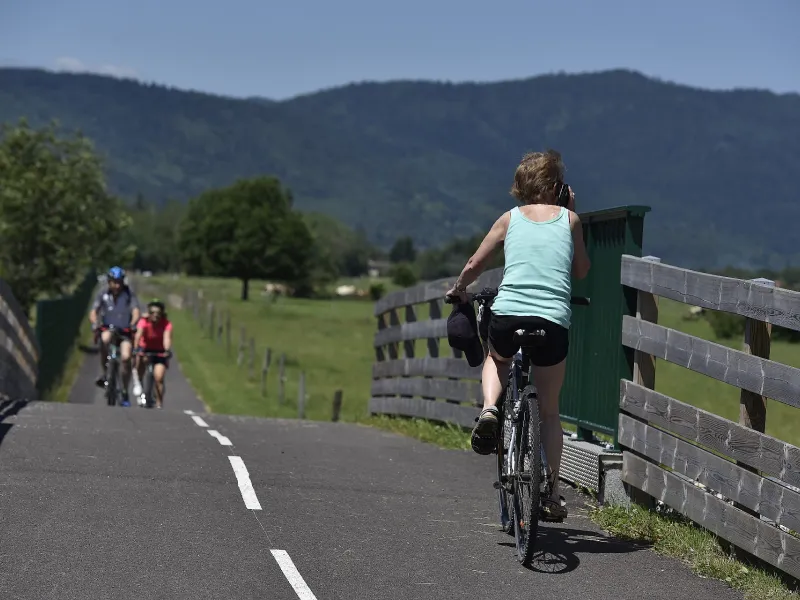
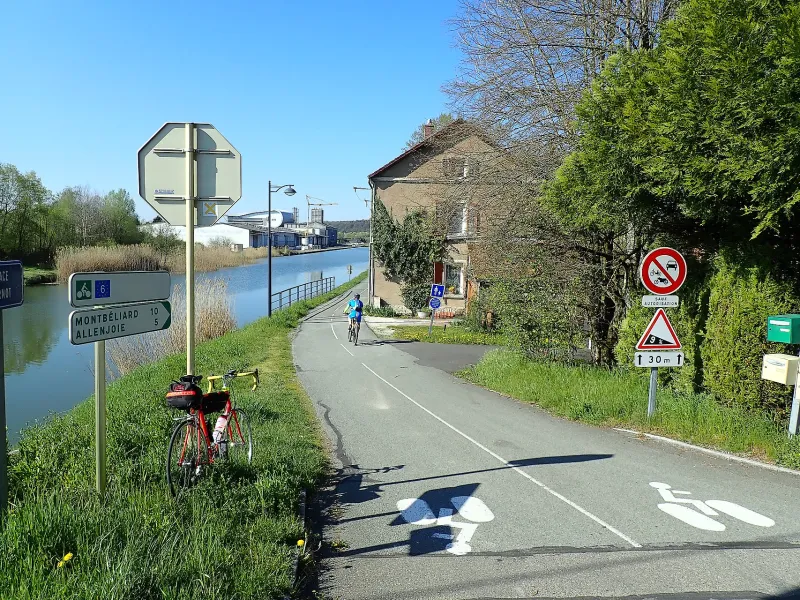
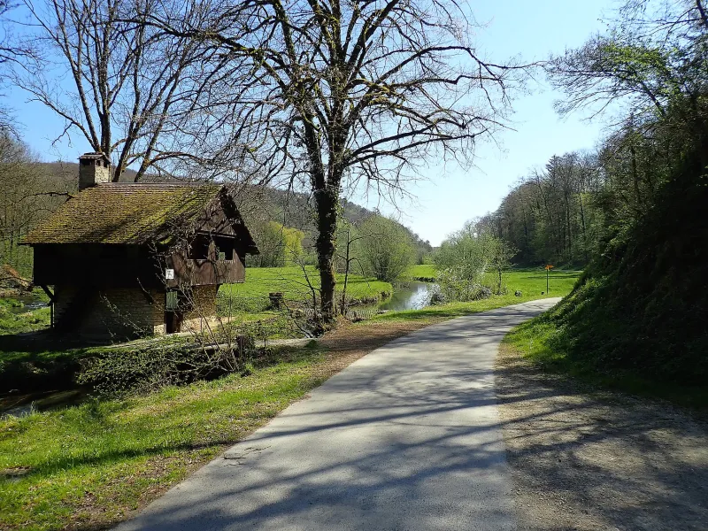

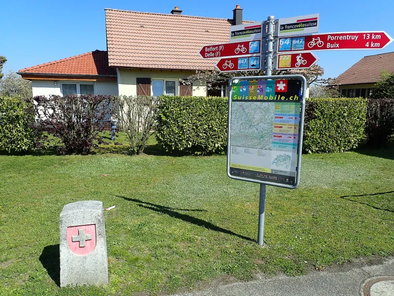
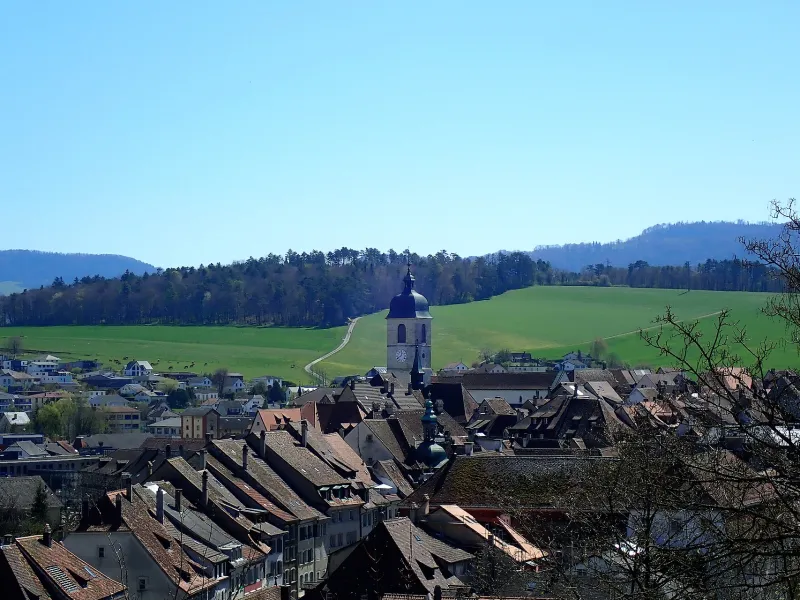
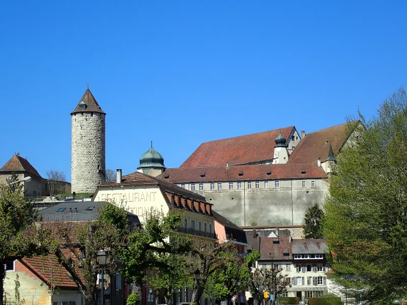
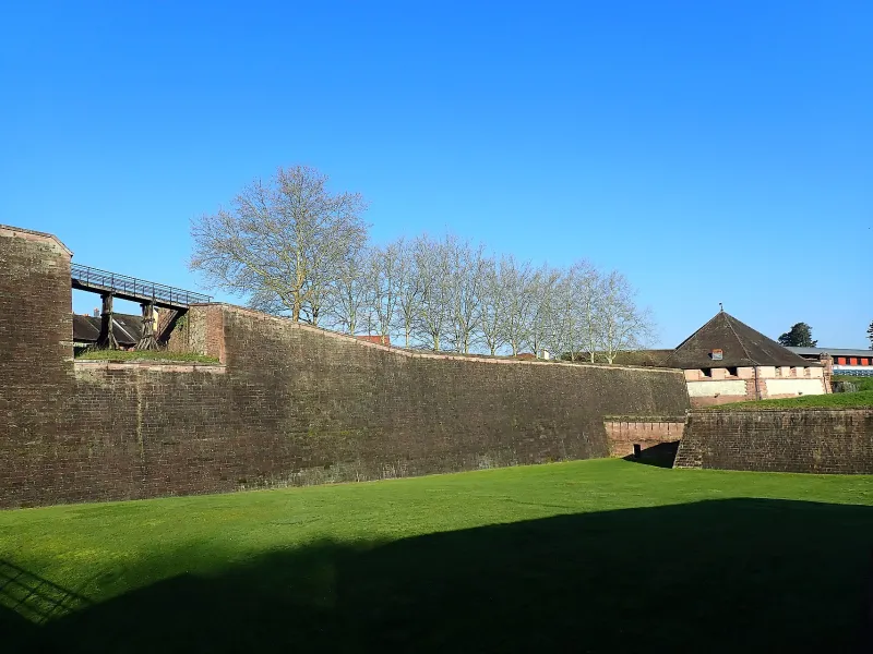
In the heart of Belfort, after visiting the old town and the citadel, let yourself drift along the Savoureuse, the main waterway of the Belfort Vosges. Leaving behind the Belfort–Montbéliard TGV station, a pleasant technical stretch through the forest leads you to Bourogne and the Rhône–Rhine Canal, where it meets EuroVelo 6. You then follow the Allaine as it guides you toward the foothills of the Swiss Jura. In Delle, after a fine climb, a simple marker indicates the border. Up to Buix, the route at the foot of a hillside is rural and peaceful. Then the Allaine valley widens, and a broad road gently descending brings you to your destination; enjoy a chocolate break while admiring Porrentruy Castle, or take a leisurely stroll through its charming streets.
The Route
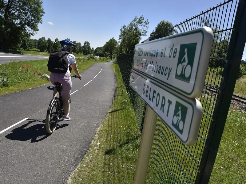
Very good signage and strong continuity for cyclists.
Some sections on roads in built-up areas between Bourogne and Morvillars, and between Buix and Porrentruy in Switzerland.
More pronounced elevation when riding from Porrentruy to Belfort.
Connection with EuroVelo 6 at Bourogne, along the Rhône–Rhine Canal section.
Gradients and elevation
Road types
Surface
Find your accommodation on this stage
Trains and transport on the route
SNCF
- Belfort
- Meroux
- Delle
- Boncourt (Switzerland)
- Porrentruy (Switzerland)