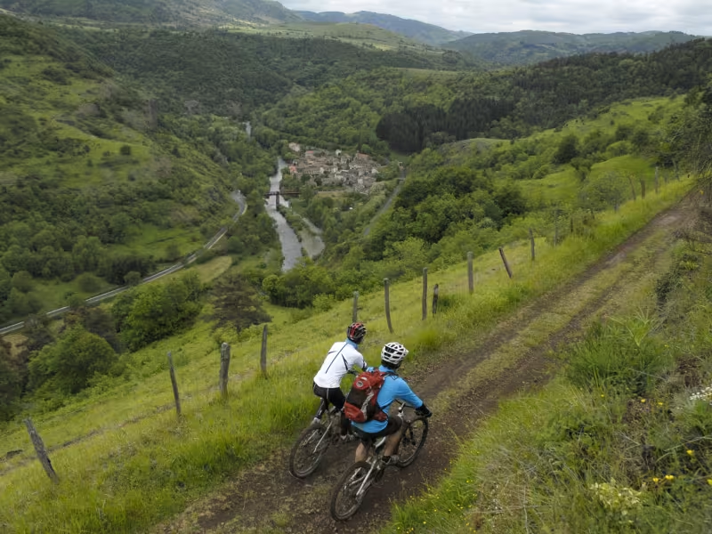
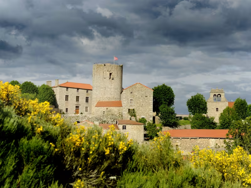
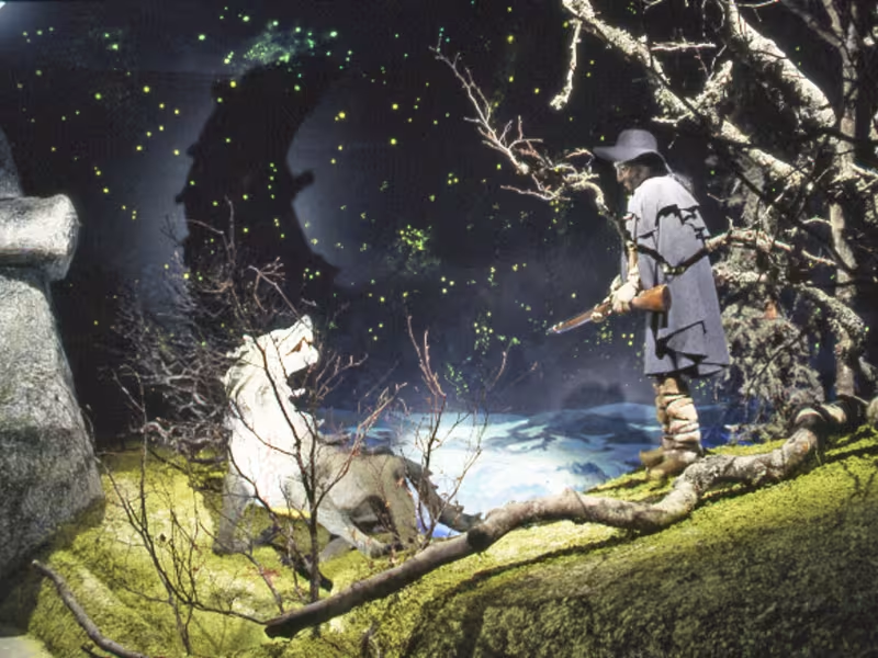
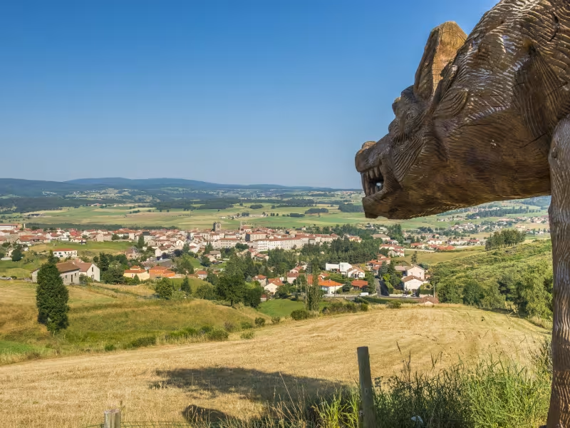
This GTMC link starts on the banks of the Allier River, then leads you gradually towards the legend-filled Gévaudan area to rejoin the main route on the southern border of the county of Haute-Loire. At the outset, the path overlooks the Allier Valley. The perched village of Chanteuges stands guard like an ancient sentinel on its promontory. The geology changes, basalt columns giving way to parts strewn with granite boulders, creating landscapes typical of the Margeride area. Midway along, Saugues makes a great stop, with its historic centre to explore. In season, the air is perfumed with narcissi up until you reach the Domaine du Sauvage, leading you back on to the main GTMC route.
Gradients and elevation
Slope breakdown
The route
To enjoy this GTMC link, you need to start out from Langeac. First, cycle along old quays beside the Allier River. Then you alternate between broad paths and short stretches on roads, riding beside fields, up to Chanteuges and Bourleyre. A pretty, high path then allows you to dominate the Allier Valley and take in the lovely views. You have next to climb to reach the Margeride Plateau at Charraix. From this point on along this link, it’s a mix of shaded tracks through pine forest and of broad paths, sometimes tarmacked, through pasturelands. You rejoin the main GTMC route close to the Domaine du Sauvage.