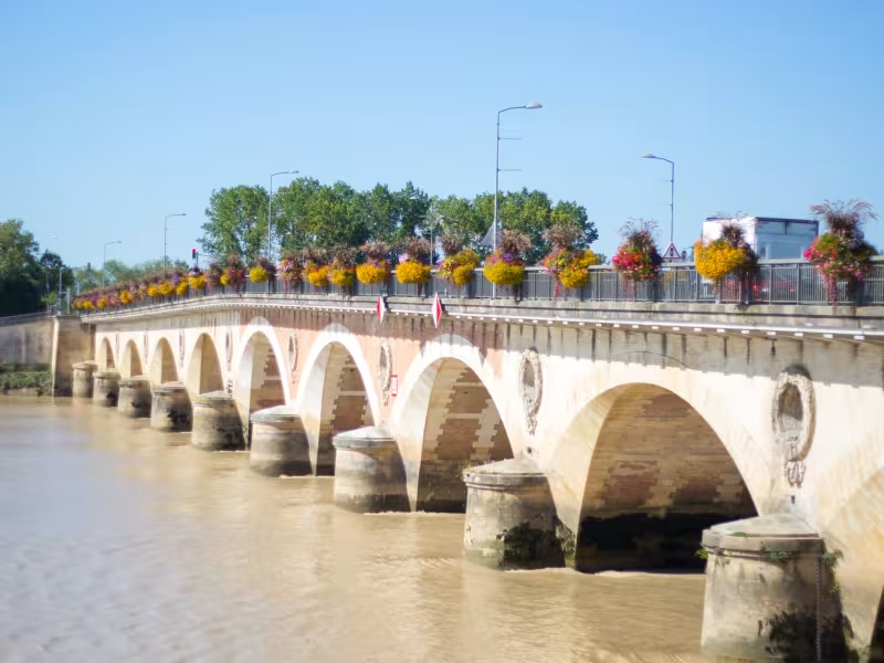
This Scandibérique stage is associated with luscious ruby reds, as you cross the dense vineyards of the St-Emilion area, or Jurisdiction, a UNESCO World Heritage Site! The wines here age extremely well, turning darker with age. Wander around St-Emilion’s spectacular, steep, ramparted streets before crossing the Dordogne River. You then climb through more vineyards to join the Roger Lapébie Greenway. At the spot where you join this beautiful path for non-motorized traffic, take care to turn right towards Créon to then carry on smoothly towards Bordeaux; if you turn left, you head off towards the town of La Réole and the Canal des 2 Mers à Vélo cycle route… but that’s a completely different cycling adventure!
Gradients and elevation
Slope breakdown
Road types
- Cycle path
- Routes reserved for cyclists and pedestrians (greenways, cycle tracks, towpaths), separated from cars for maximum safety.
- Shared road
- Quiet minor roads with little traffic (unless otherwise stated in the stage details). Shared with cars (stay alert).
- Not specified
- Data unavailable or being assessed. Please refer to the detailed stage description.
- Provisional
- Section on a road or cycle path awaiting better-quality facilities (see stage details).
Surface
- Smooth
- Asphalt, tarmac or smooth concrete. Optimal comfort.
- Rough
- Fine gravel, compacted stabilised surface or worn tarmac. Less comfortable, vibrations possible.
- Natural
- Dirt, grass, roots or stones. Under 5%: short sections with little impact. Higher percentage: route suited to mountain or gravel bikes only.
- Not specified
- Data unavailable or being assessed. Please refer to the detailed stage description.
The route
Along minor roads through the heart of vineyards and across the Dordogne River’s alluvial plain. There are a few slopes. Take care crossing the RD670 road at the foot of St-Emilion’s vine-covered slopes.
Signposted EV3.
Surfacing smooth: asphalt.
Connection
At the level where the route joins the Roger Lapébie Greenway, if you head left, or east, you can ride off via Sauveterre de Guyenne and la Réole to join the Canal de 2 Mers à Vélo cycle route towards Toulouse.
Trains
- Libourne train station: regional TER line - Angoulême < > Bordeaux and high-speed TGV line for Poitiers, Tours and Paris
- St-Emilion train station: regional TER line for Libourne, Bordeaux, Bergerac, Sarlat
Don’t miss
- Libourne: the historic clock tower, the Tour de l’Horloge (14th century); the Musée des Beaux-Arts et de l’Archéologie (on arts and archaeology); the Hôtel de Ville, or town hall
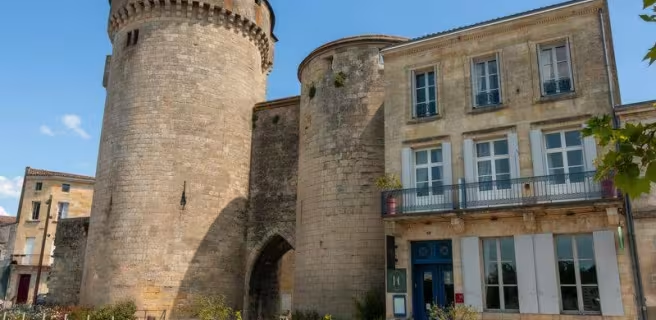
- St-Émilion: the Tour du Roy (a 13th-century tower); the Brunet and Cadène gateways (13th century), the churches (one subterranean), the Halles du Marché (covered market); the Cloître des Cordeliers (a cloister turned tourist spot); the Musée Souterrain de la Poterie
- St-Sulpice de Faleyrens: the biggest neolithic menhir in southwest France (dating back to 2600-2300 BC); the fishing nets over the river
- Branne: the Dordogne’s quays; the historic covered market, or Halles and neogothic church (19th century)
- La Sauve-Majeure: the historic Romanesque abbey (11th century); Accueil Vélo facilities for cyclists
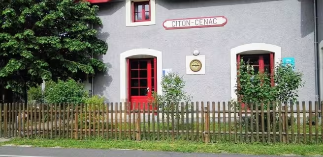
- Créon: the historic bastide centre, built on a grid-plan (14th century) including the arcaded square, Place de la Prévôté; Notre-Dame Church (14th century); the former train station, turned into a special cyclists’ halt, with cycling facilities!