Mirepoix / Couiza
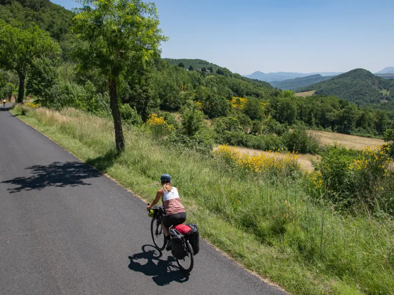
Surprisingly, it’s only this far east along the Vélosud cycle route, on one of its final stages, that you cross a highly important geographical frontier in the Pyrenean foothills – the watershed separating the river waters that head for the Atlantic, to the west, from those that flow to the Mediterranean, not that far east. From beyond the Col des Tougnets, a pass close to Puivert Castle, the rivers you’re going to follow from now on all run down towards the Med. But before that, starting along this stage, you ride along a greenway taking you further through the secretive Hers Valley, the way marked by the feudal castle of Lagarde and heritage stops at Camon and then in the grid-plan bastide town of Chalabre, already in the département (French county) of Aude. The next stop is Puivert, with its château and museum to visit, before you cross the aforementioned watershed, to head along the long, bucolic Faby Valley up to Couiza.
The route
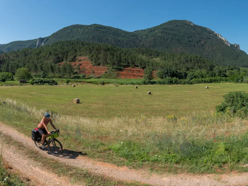
The stage begins with a long stretch of dedicated greenway, the surface rough, taking you 21km to the little town of Chalabre. Moving into the département of Aude, you cycle along roads shared with motorized traffic, some stretches quiet, others slightly busier, although you only use minor roads.
At Moulin-Neuf, there’s a split into two greenways, so at Kilometre 7 on this stage, make sure you branch to the right to carry on along the V81 cycle route through the Hers Valley (in the direction of Chalabre and Montségur) – if you didn’t branch off, you’d pedal off to join the Canal du Midi!
Points at which to take care:
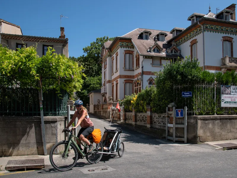
- At Couiza: you arrive via the D118, which is a busy road linking Quillan and Limoux, so take care.
Links with further cycle routes
- At Moulin-Neuf (at Kilometre 7 on this stage), you can connect up with another greenway, the Voie Verte Canal du Midi-Montségur. In fact, should you be coming from the direction of the Canal du Midi, this presents a lovely way of joining the V81 cycle route… or then, it can provide a lovely way to leave our cycle route to head on to Bram, Toulouse or Carcassonne.
- At Chalabre (at Kilometre 21 on this stage), another greenway, the Voie Verte Pyrénées Cathares, continues on to Lavelanet. You could take this to then return to the little town of Foix (via LiO regional bus, line 451).
Gradients and elevation
Road types
Surface
Not to be missed on this route

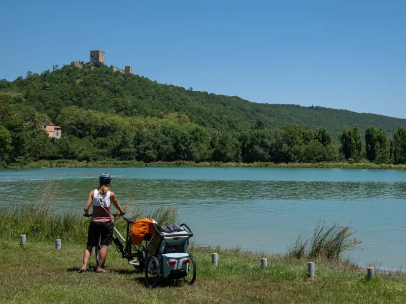
Puivert's lake

Rennes-le-Château
Don't miss
- The Voie Verte des Pyrénées Cathares greenway: it was back in 1903 that the train service linking Lavelanet (an industrial textile town) to Moulin-Neuf came into operation, opening the connection to the very recently opened line from Pamiers to Bram. The rail company, the Compagnie des Chemins de Fer du Midi, then transported not just travellers but also raw materials (wood) and manufactured products (textiles, linen and also wooden combs) produced beyond the Plantaurel Range. Following a period of industrial decline, the last train to travel the line was back in 1973. However, thanks to a project launched by the combined local authorities here in 2006, the railway track has been converted into a voie verte, or greenway.
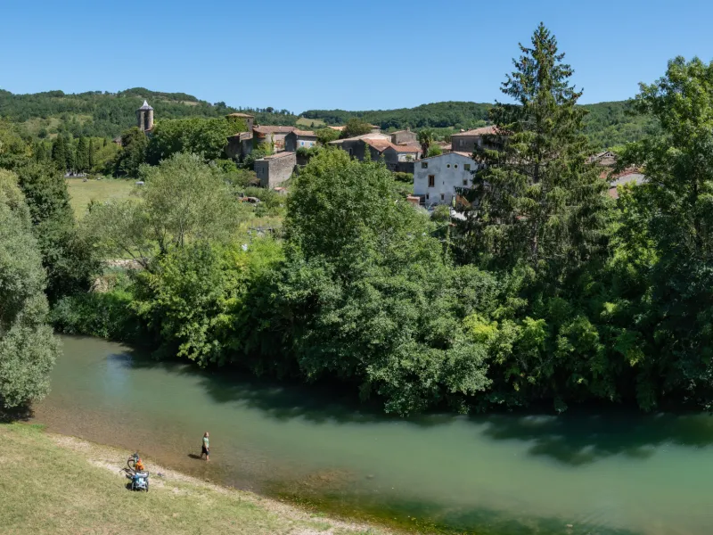
- Camon: from a bridge over the Hers River, you’ll get your first glimpse of the village de Camon, its name meaning the fortress in the meander. However, originally, it was an abbey that was founded here, by order of Emperor Charlemagne, at the start of the 8th century, this foundation then falling under the control of the Benedictine Abbey of Lagrasse.
- Chalabre: this little town was built on the banks of the Hers River on the grid-plan model of a fortified bastide, back in medieval times, hence the centre’s square shape and the straight streets, the nodal point being the central market square with its covered cereal market (Halles aux Grains). A castle oversees the village, dating back to medieval times too, although it has been much renovated through time, up to the 18th century.
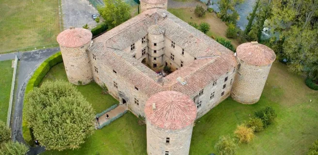
- Puivert: the Musée du Quercorb presents scenes from everyday life down the centuries in this area, showing the main trades of past times and the riches of these upland parts. One section is dedicated to medieval music and includes a lovely display of old instruments. As to the Château de Puivert, historians agree that it went up in the middle of the 12th century.
- Fa: the Faby Valley served as an important transport link between the Aude Valley and the Plateau du Quercorb, Fa standing at a strategic entrance point. The place’s history goes far back in time, its name deriving from the Latin word Fanum, meaning a temple, and indeed Gallo-Roman remains have been found in the parish.
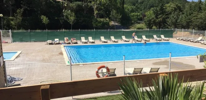
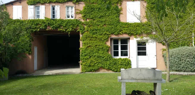
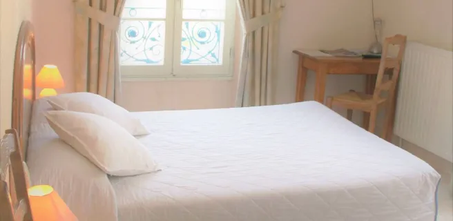
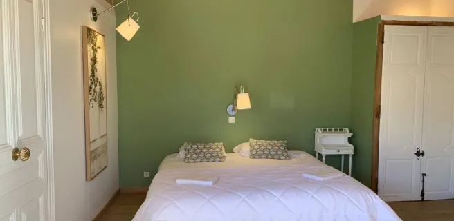
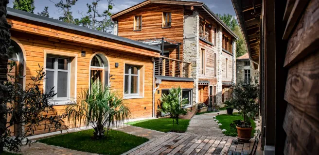
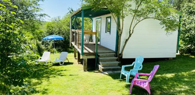
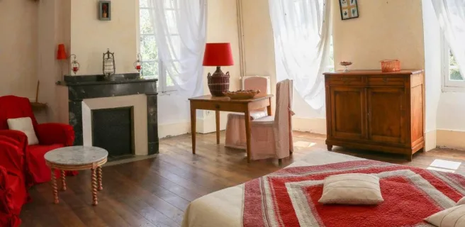
Find your accommodation on this stage
Trains and transport on the route
SNCF French National Railways train stations
- Gare SNCF de Pamiers railway station, to reach Mirepoix via the V81, or then by regional LiO bus (line 450).
BUS services
- LiO regional bus network, taking you to Mirepoix on line 450 from Pamiers.
LiO regional bus network, taking you from Couiza on line 402 to Carcassonne or Axat.
https://www.lio-occitanie.fr/horaires-et-plans/