Saint-Gaudens / Saint-Girons
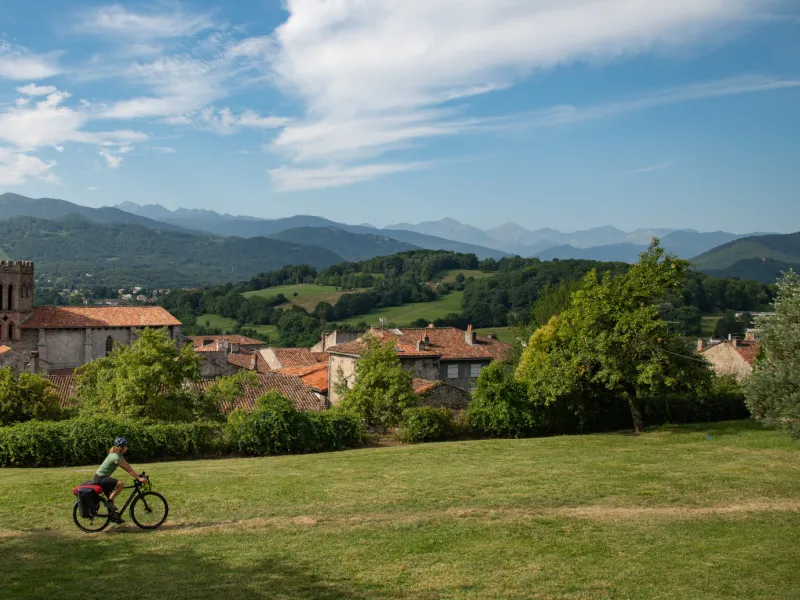

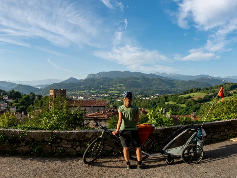
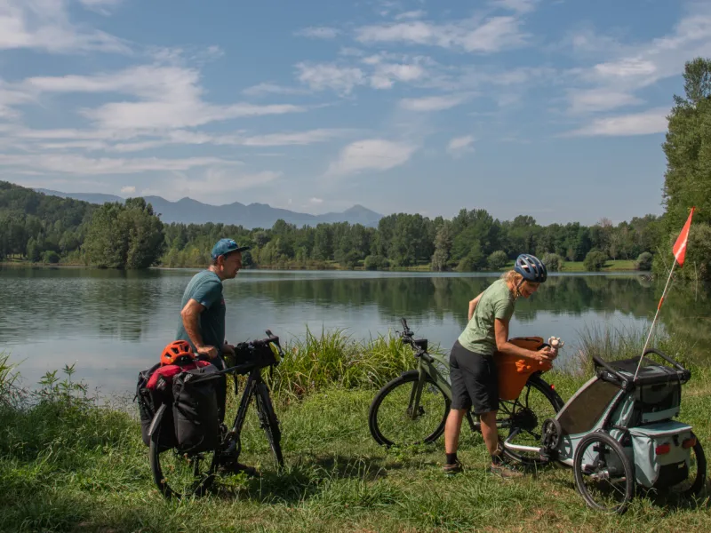
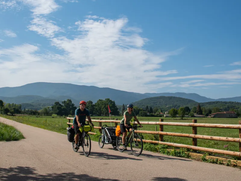
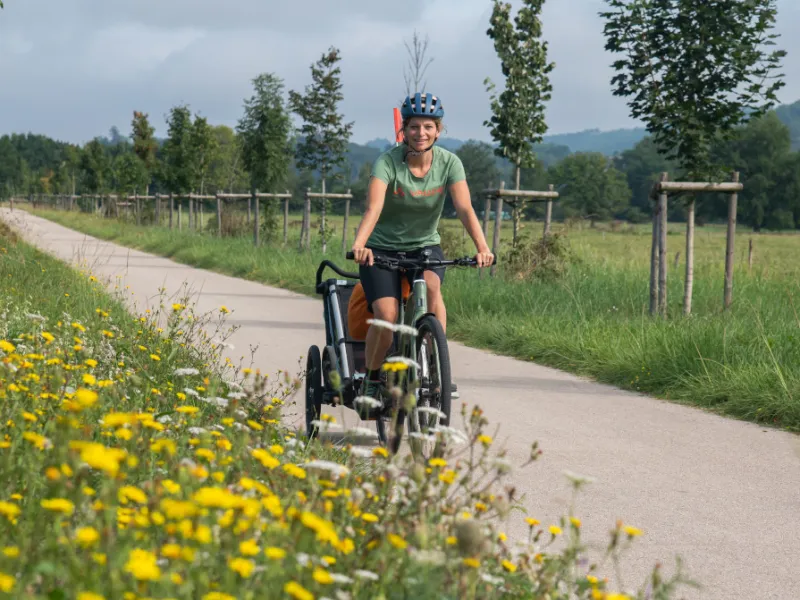
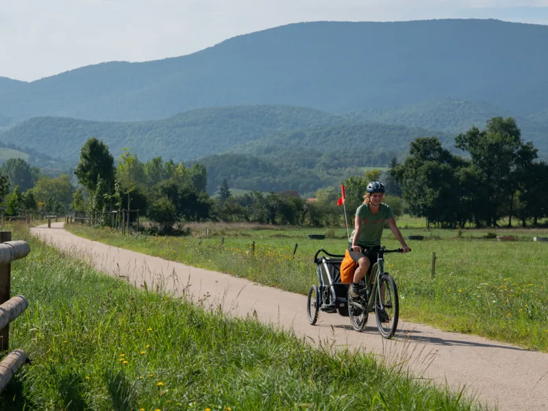
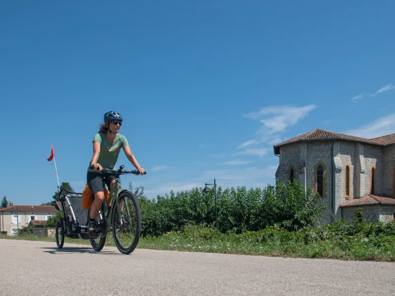
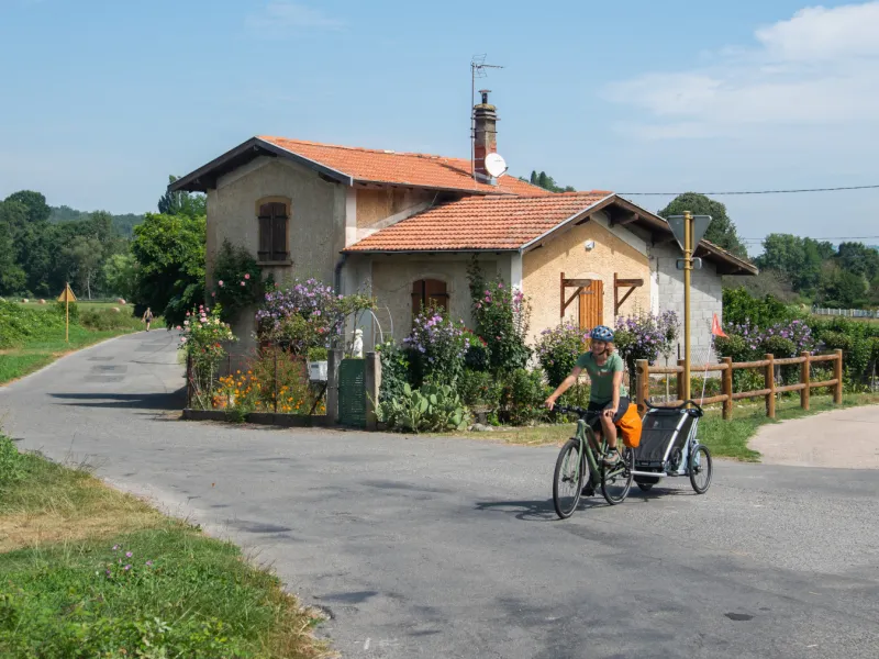
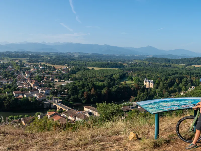
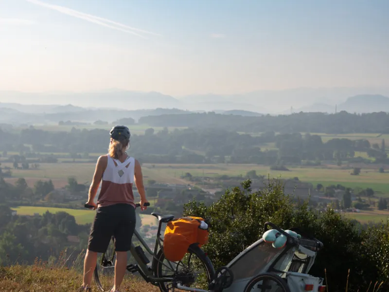
This Vélosud cycle route stage first continues to lead you beside the Garonne, following the river’s natural descent. However, at the level of Roquefort-sur-Garonne, while the mighty Garonne continues to distance itself further from the Pyrenees, our cycle route branches off into a tributary valley, that of the Salat River. You’re now heading for the Couserans area and the département (French county) of Ariège. You follow the Salat upstream along a comfortable greenway, up to your stop-over point, either Saint-Lizier or Saint-Girons. Along this stretch of the Pyrenean foothills, have fun spotting a series of châteaux and manors – some ten of them – recalling the historic prosperity in these fertile valleys. It’s worth considering some easy breaks along the way at remarkable heritage sights, at Lestelle, Saint-Martory, in the thermal spa resort of Salies-du-Salat, or in the village of Caumont. And do have a good wander around the unmissable little bishops’ city of Saint-Lizier.
The route
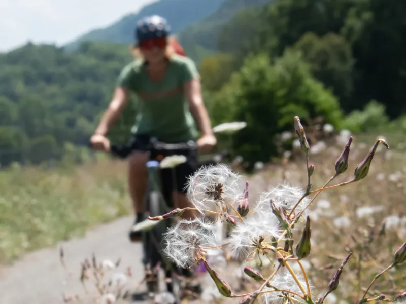
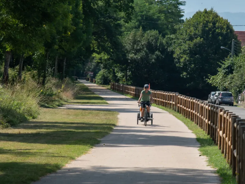
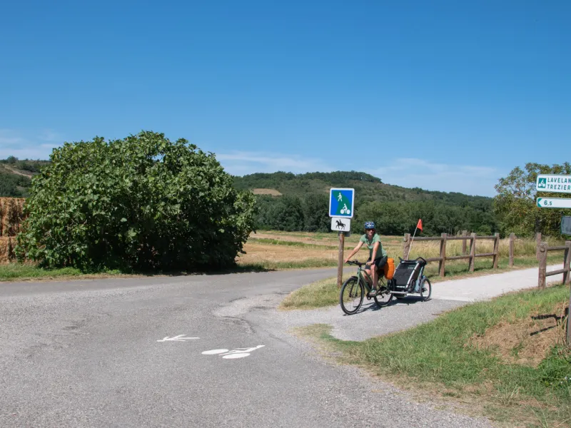
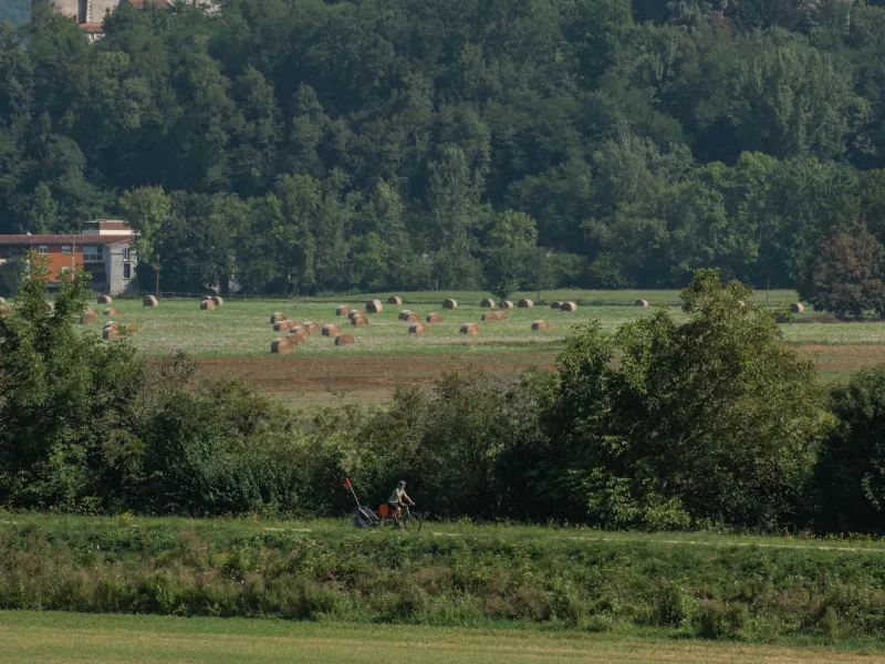
The first half of this stage is on roads shared with motorized traffic going along the Garonne Valley, but using a secondary network of roads with only light traffic. Next, a section specifically laid out for cyclists ensures you arrive safely at Saint-Martory. On the second half of this stage, along the Salat Valley, the cycle route is entirely on a dedicated path, along a converted old railway line, the surface smooth in parts, in others rough. The final short link between Saint-Lizier and Saint-Girons leads you along roads without any specific provisions for cyclists.
Points at which to take care:
- At Roquefort-sur-Garonne: at the level of the confluence of the Garonne and Salat Rivers, once you’ve crossed the railway line, slow down on your descent, as there’s a narrow stretch through a tunnel (sometimes muddy) just ahead, to enable you to ride under the A64 motorway.
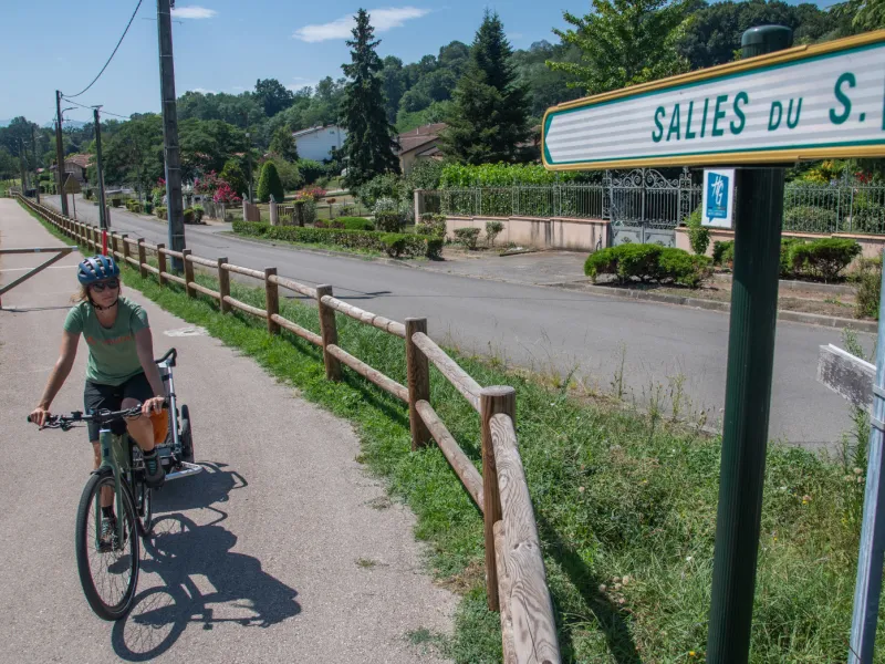
- At Salies-du-Salat: arriving at this town, you need to do a 3/4 turn on the round-about at the entrance to town to join the continuation of the greenway.
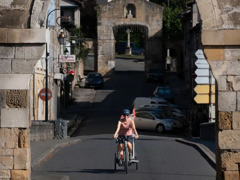
- At Saint-Lizier: where you join the D117 road, we recommend you stick to the pavement for some 50m, pushing your bike by hand to reach the Pont de Saint-Lizier bridge on your left.
Links with further cycle routes
At Roquefort-sur-Garonne, it’s possible to continue riding along the Garonne à Vélo (V83) cycle route, up to Marquefave (with a regional TER railway station at nearby Carbonne). You can then continue on to Toulouse (on the Via Garona), although at time of writing, this hasn’t yet been signposted.
Gradients and elevation
Road types
Surface
Not to be missed on this route

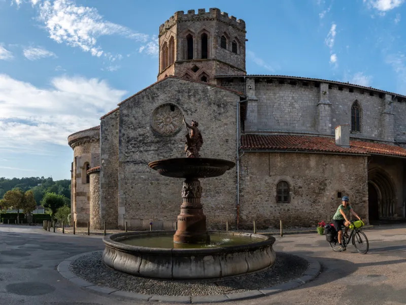
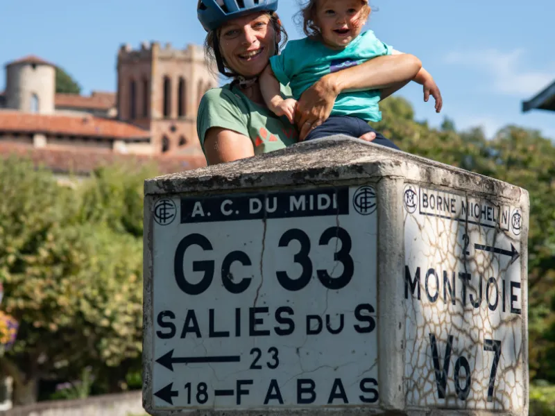
Cathédrale de Saint-Lizier
Don't miss
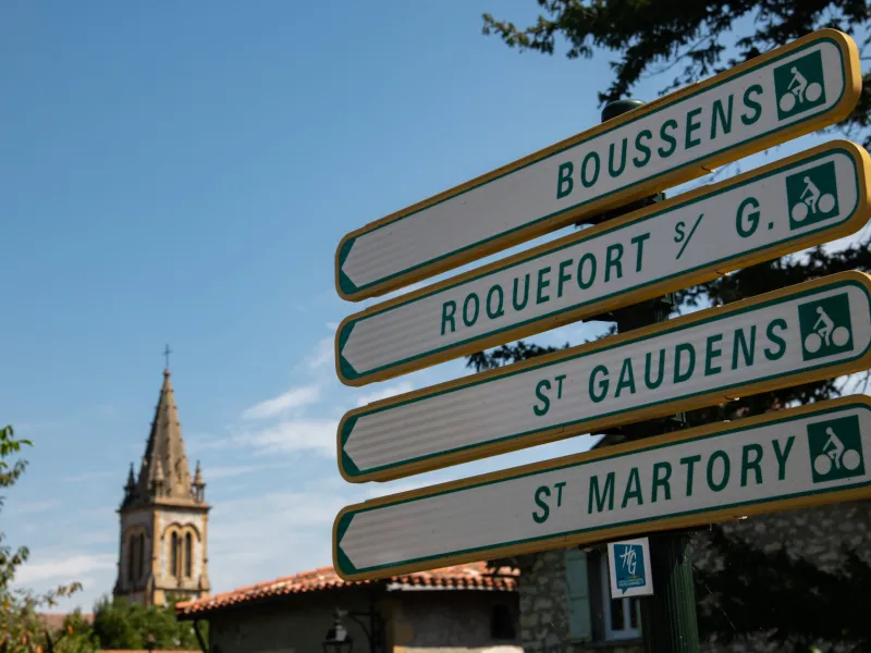
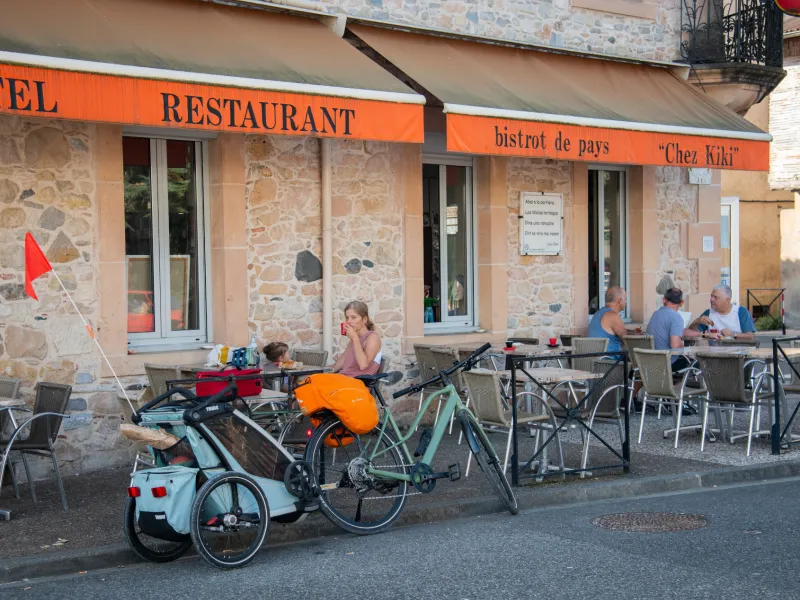
- Saint-Martory: discover a whole series of attractions in the town of Saint-Martory, slowing down to spot: the three-arched bridge over the Garonne, with the ancient Gallo-Roman pier at one end topped by a monumental arch; the Renaissance château built for the Montpezat family in the 16th century; the 18th-century grain mill; and canals linked to the mighty Garonne.
- Salies-du-Salat: a thermal spa resort that carries the same name of Salies as its Béarn twin (which you may have stopped at just a few days back on this cycling journey!) but this Salies, also reputed for its mineral-rich waters, stands in the Comminges area.
- Couserans: in this area covering the Salat Valley, you’ll notice many timber mills, as the Pyrenean foothills, both at low and medium altitude, are covered with forests that provide wood that has proved such a precious commodity for these parts down the centuries.
- Lorp-Sentaraille: the birthplace of Aristide Bergès (1833-1904), born into a local paper-making family, an industrialist considered the inventor of hydroelectricity in France, who saw how to exploit the country’s invaluable ‘‘white coal’’ – water. The museum dedicated to him is 250m to the left of the main road through the village, near the Salat River.
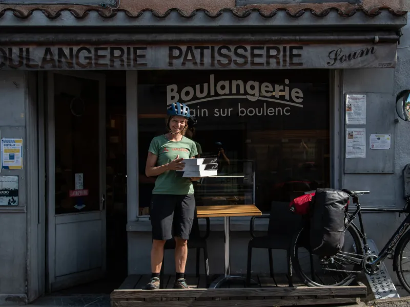
Cyclists’ special address: L’Estapa, in Saint-Gaudens, opposite the station, with cyclists’ café, shop and workshop.
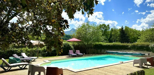
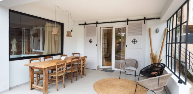
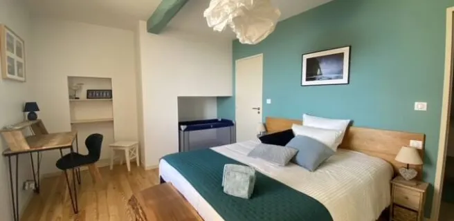
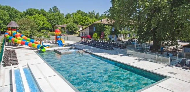
Find your accommodation on this stage


Trains and transport on the route
SNCF French National Railways train stations
- Gare SNCF de Saint-Gaudens: Intercités trains; and regional TER Occitanie trains (you can transport your bike for free on the latter) on the Toulouse-Tarbes line, and directly on the Vélosud cycle route.
- Gare SNCF de Boussens: regional TER Occitanie trains, on the Toulouse-Tarbes line, to join the V81 cycle route at Roquefort-sur-Garonne (km 29).
BUS services
- LiO regional bus network: link between Boussens and Saint-Girons using line 452.
https://www.lio-occitanie.fr/horaires-et-plans/